Downloaded 104 times
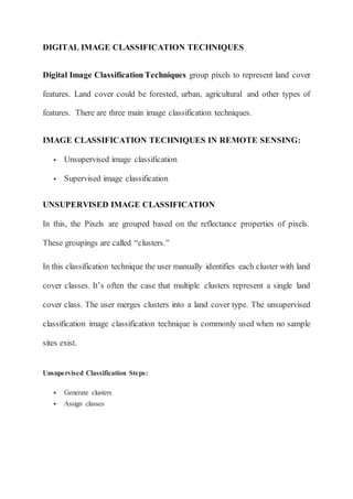
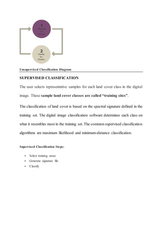

This document discusses two main techniques for digital image classification in remote sensing: unsupervised and supervised classification. Unsupervised classification groups pixels into clusters based on reflectance properties and the user assigns land cover classes. Supervised classification involves selecting training sites for each land cover class, which are used to classify the image based on spectral signatures. Both techniques aim to categorize land cover features from remote sensing imagery.


