Downloaded 168 times

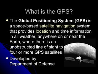


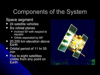


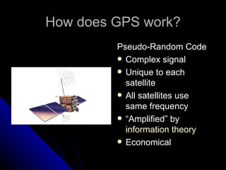


The Global Positioning System (GPS) is a satellite-based navigation system that provides location and time information to users around the world. It was developed by the US Department of Defense in the 1970s and became fully operational in 1995. GPS uses 24 satellites and ground control stations to transmit timing signals that allow GPS receivers to calculate their precise location. It has both military and civilian applications in areas like navigation, mapping, timing, and tracking.


