Download as PDF, PPTX

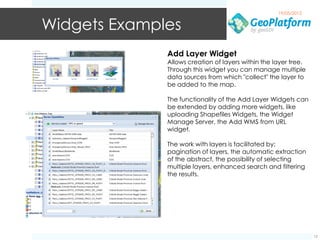
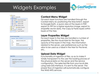
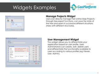
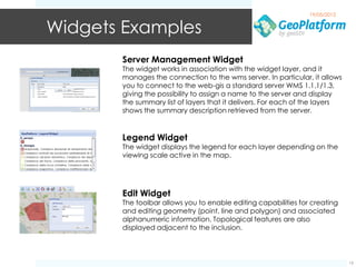

The document discusses the geoSDI framework, an open source framework for developing rich web GIS applications using Java. It describes geoSDI's goals of enabling work with heterogeneous geospatial data through OGC standards. The framework includes Geo-Platform Services and GUI modules along with various widgets that extend functionality like map features, layer management, data uploading, and more. The framework aims to provide a flexible solution for geospatial portals using Java and JavaScript.