Download as PDF, PPTX

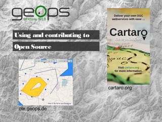

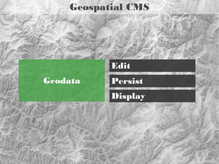


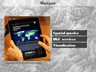

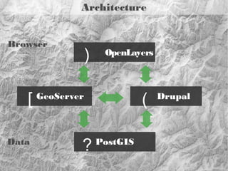
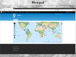

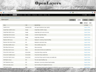
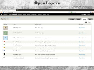
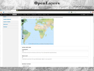
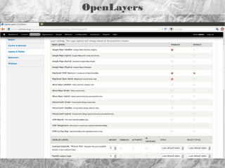
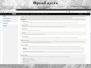

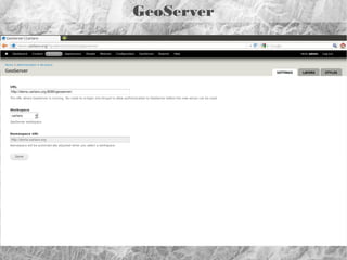
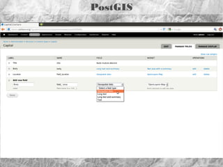
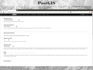
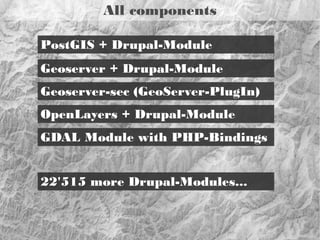
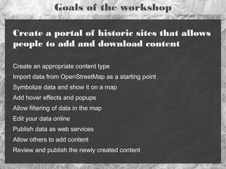
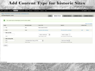
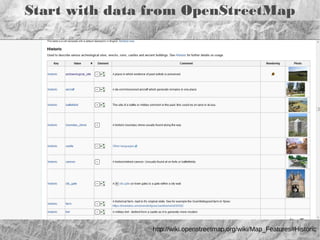
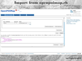
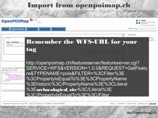
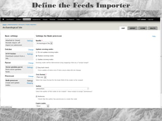
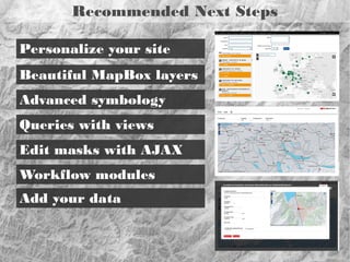
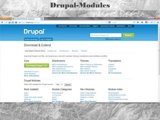
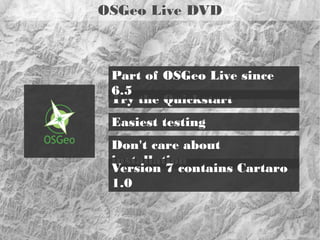

This document discusses Cartaro, an open source geospatial content management system built on Drupal. It provides instructions for a workshop to create a historic sites portal using Cartaro. The workshop will create a content type for historic sites, import site data from OpenStreetMap, display the layer on a map, and allow interactivity and editing. Recommended next steps include customizing the site, advanced styling and queries, and adding additional data.