Download to read offline
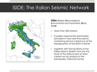


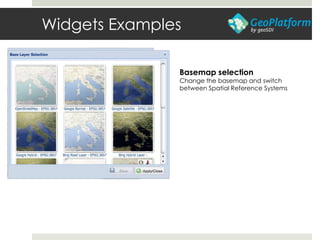
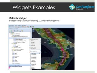
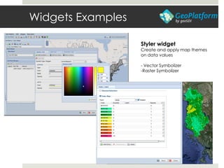
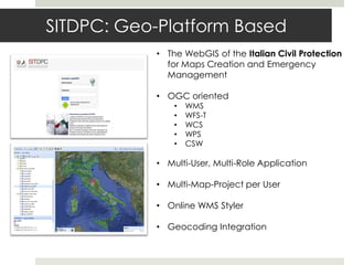
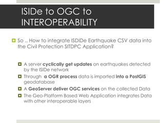
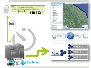
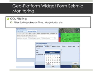
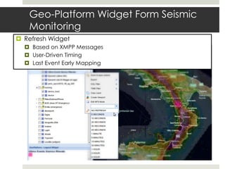
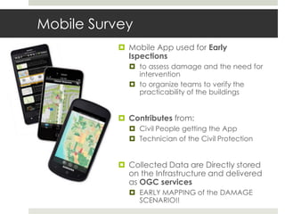
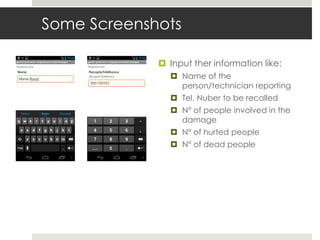
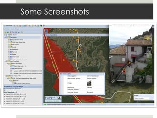
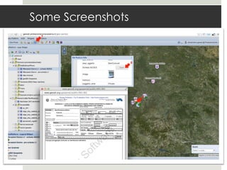

The document describes how seismic event data from the Italian Seismic Network (ISIDe) can be integrated into the Italian Civil Protection's Geo-Platform based web application for emergency management. A server collects ISIDe's near real-time earthquake data and imports it into a PostGIS database. A GeoServer then serves the data via OGC standards. The web application uses widgets to filter, refresh, and map the seismic data alongside other interoperable layers for emergency response and damage assessment. Mobile apps also allow early collection of ground observations that further enhance the common operating picture.