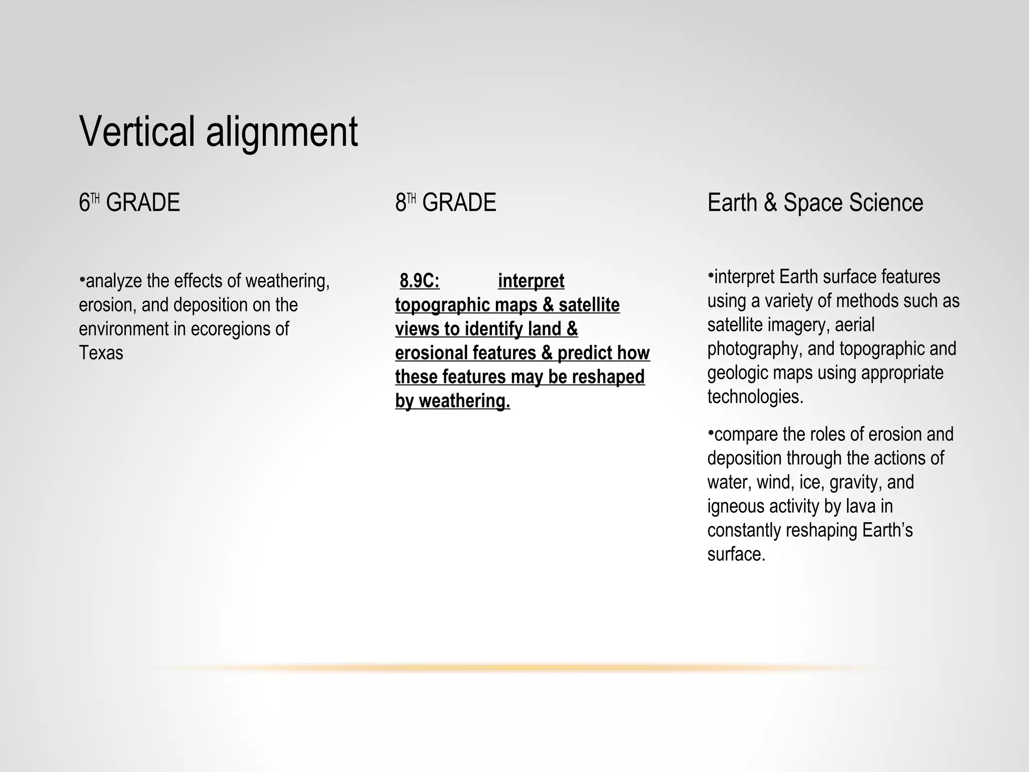
This document provides resources and guidance for teaching a unit on topographic maps and satellite views to 8th grade science students. It includes the relevant TEKS, lesson plans with activities to build students' map reading skills, formative assessments, and suggestions for differentiation and incorporating higher-level thinking. Key points to emphasize are determining contour intervals, elevation from lines, and how features change over time from weathering and deposition. A variety of maps, readings, and videos are recommended to engage students and reinforce understanding of landform identification.