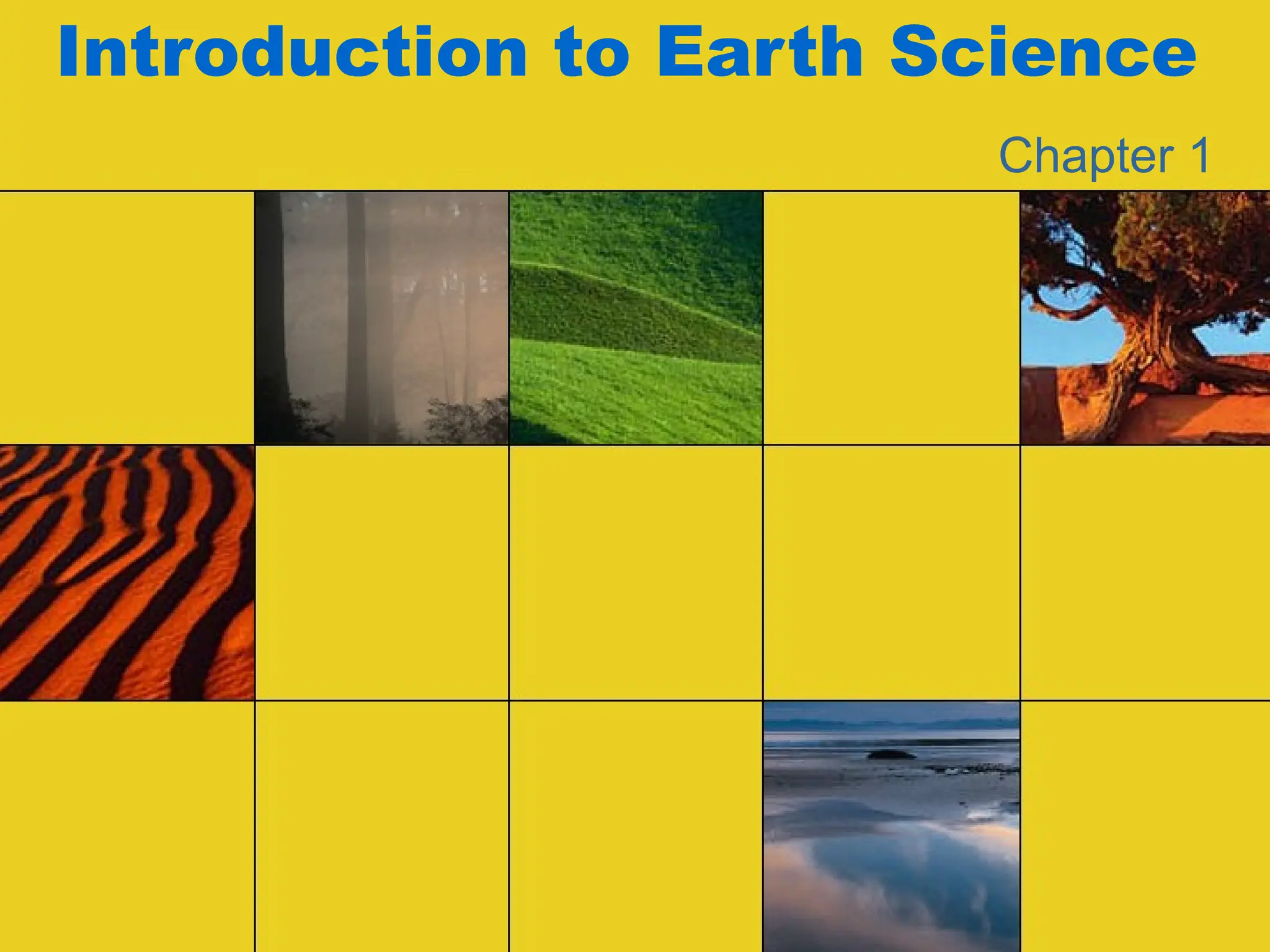
Earth Science is the study of our planet—its structure, composition, history, and the processes that shape it. It brings together multiple branches of natural science to help us understand the Earth as a dynamic system where the atmosphere, hydrosphere, lithosphere, and biosphere constantly interact. This introductory presentation is designed to give a clear overview of the field, highlighting its scope, importance, and applications in our daily lives.
At its core, Earth Science is divided into several main disciplines:
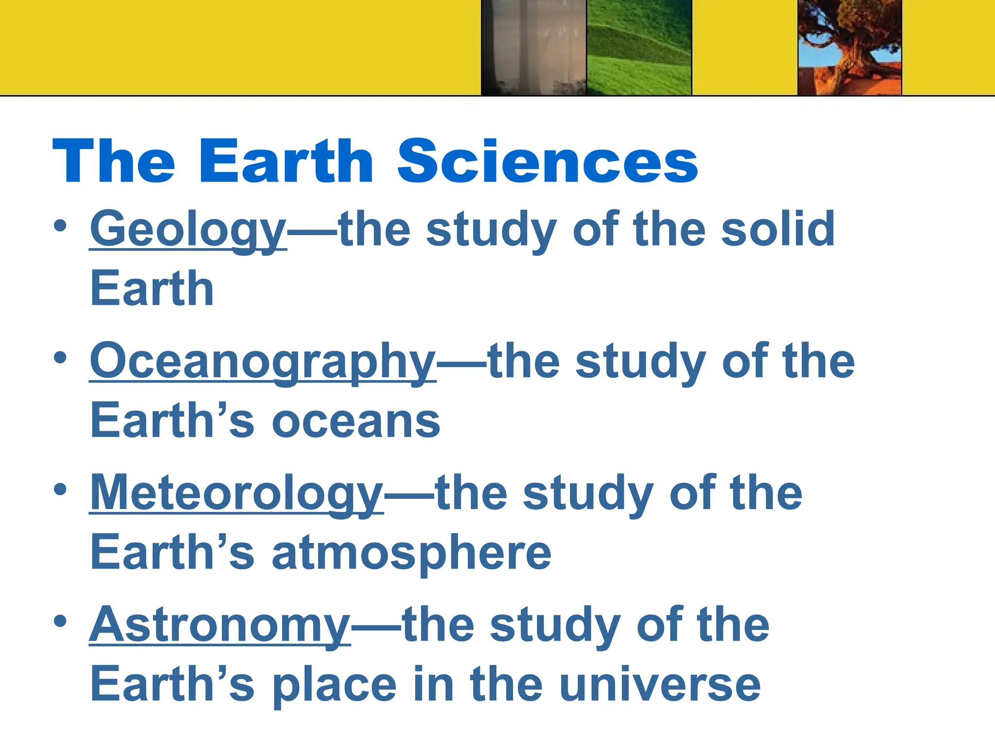
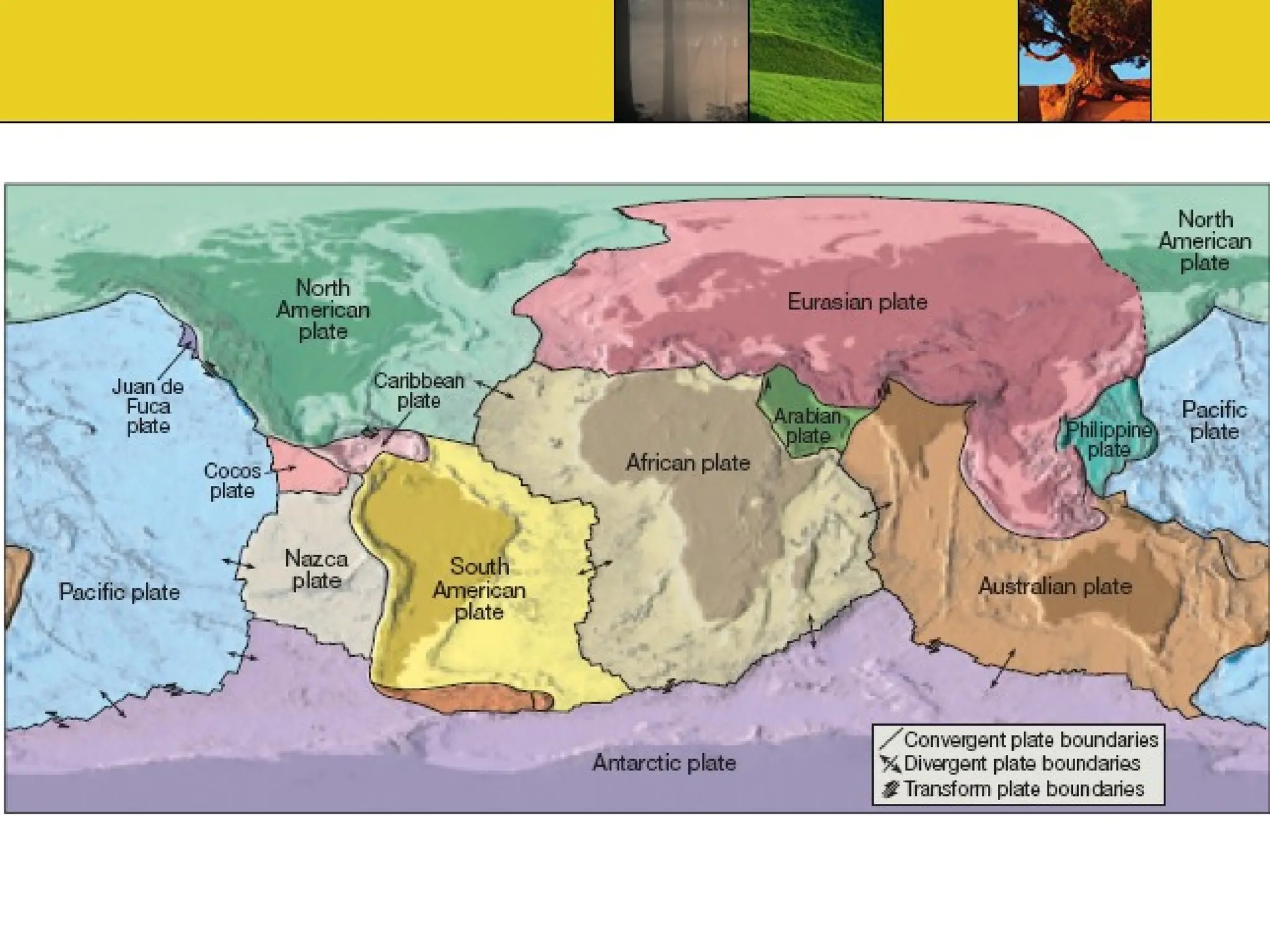
Geology: the study of rocks, minerals, landforms, and the forces that shape the Earth’s crust, such as plate tectonics, earthquakes, and volcanoes.
Meteorology: the study of the atmosphere, weather, and climate, helping us understand storms, rainfall, global warming, and long-term climate change.
Oceanography: the study of oceans—their currents, chemistry, ecosystems, and role in regulating Earth’s climate.
Astronomy: though broader in scope, it connects to Earth Science by exploring the Earth’s place in the universe, planetary evolution, and how cosmic forces influence our planet.
Environmental Science: a more applied branch, dealing with human impacts on natural systems, sustainability, and resource management.
Understanding Earth Science is not only about curiosity—it is about survival. Issues like natural hazards, climate change, water scarcity, deforestation, and pollution directly affect society. By studying Earth processes, scientists can predict disasters, manage resources more efficiently, and develop strategies for environmental protection.
The presentation also emphasizes the tools and techniques Earth scientists use—satellite imaging, GIS mapping, remote sensing, radiometric dating, and computer modeling. These modern approaches allow us to track hurricanes, monitor earthquakes, study climate patterns, and even reconstruct past environments over millions of years.
Another important aspect is the interdisciplinary nature of Earth Science. It links physics, chemistry, biology, and mathematics, making it one of the most integrative sciences. For example, understanding a volcanic eruption involves geology (rocks and magma), chemistry (gas emissions), physics (pressure and heat transfer), and even biology (impact on ecosystems).
The introduction also traces the history of Earth Science—how early civilizations observed the skies, studied minerals, or recorded floods. Over time, scientific inquiry developed into theories like continental drift, plate tectonics, and the water cycle, which now form the backbone of modern Earth Science.
Finally, the presentation highlights the relevance of Earth Science in everyday life. From the water we drink and the air we breathe to the energy we use and the food we grow, all depend on Earth’s natural systems. A deeper understanding helps us make informed decisions as individuals and societies, ensuring a sustainable future.
Whether you are a student, educator, researcher, or jus

![Ch 1 Powerpoint - Introduction to Earth Science [Savvas].ppt](https://cdn.slidesharecdn.com/ss_thumbnails/ch1powerpoint-introductiontoearthsciencesavvas-250523105657-c46c9c17-thumbnail.jpg?width=640&height=640&fit=bounds)
![Ch 1 Powerpoint - Introduction to Earth Science [Savvas] (1).ppt](https://cdn.slidesharecdn.com/ss_thumbnails/ch1powerpoint-introductiontoearthsciencesavvas1-250430092759-785ef0ea-thumbnail.jpg?width=640&height=640&fit=bounds)


