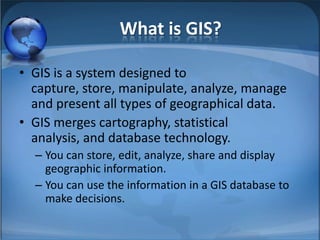
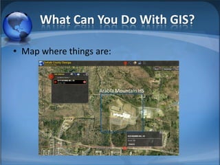
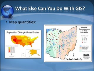
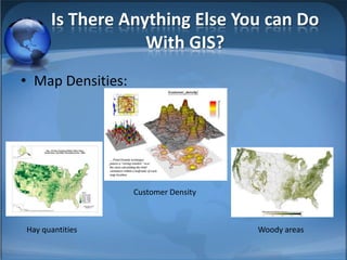
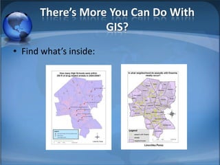
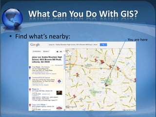
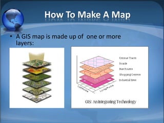
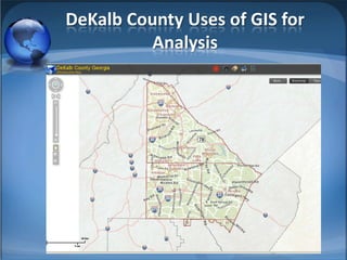
GIS is a system that captures, stores, manipulates, analyzes, manages, and presents geographical data. It merges cartography, statistical analysis, and database technology, allowing users to store, edit, analyze, share and display geographic information to make decisions. GIS can be used to map where things are located, quantities and densities of items, find what's nearby or inside a location, map changes over time, and analyze data through making maps with multiple layers of information. DeKalb County utilizes GIS for stormwater analysis and management.