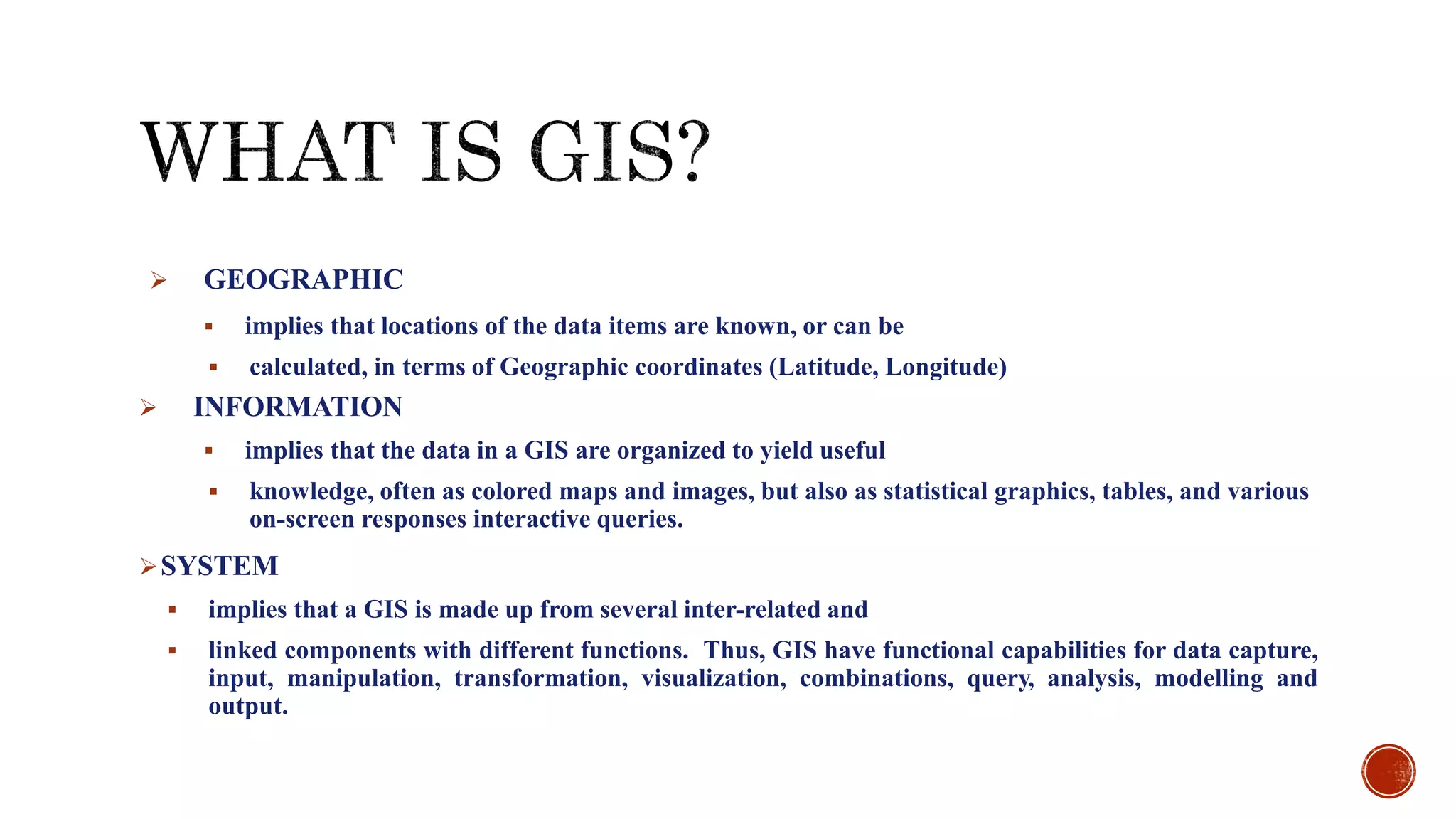
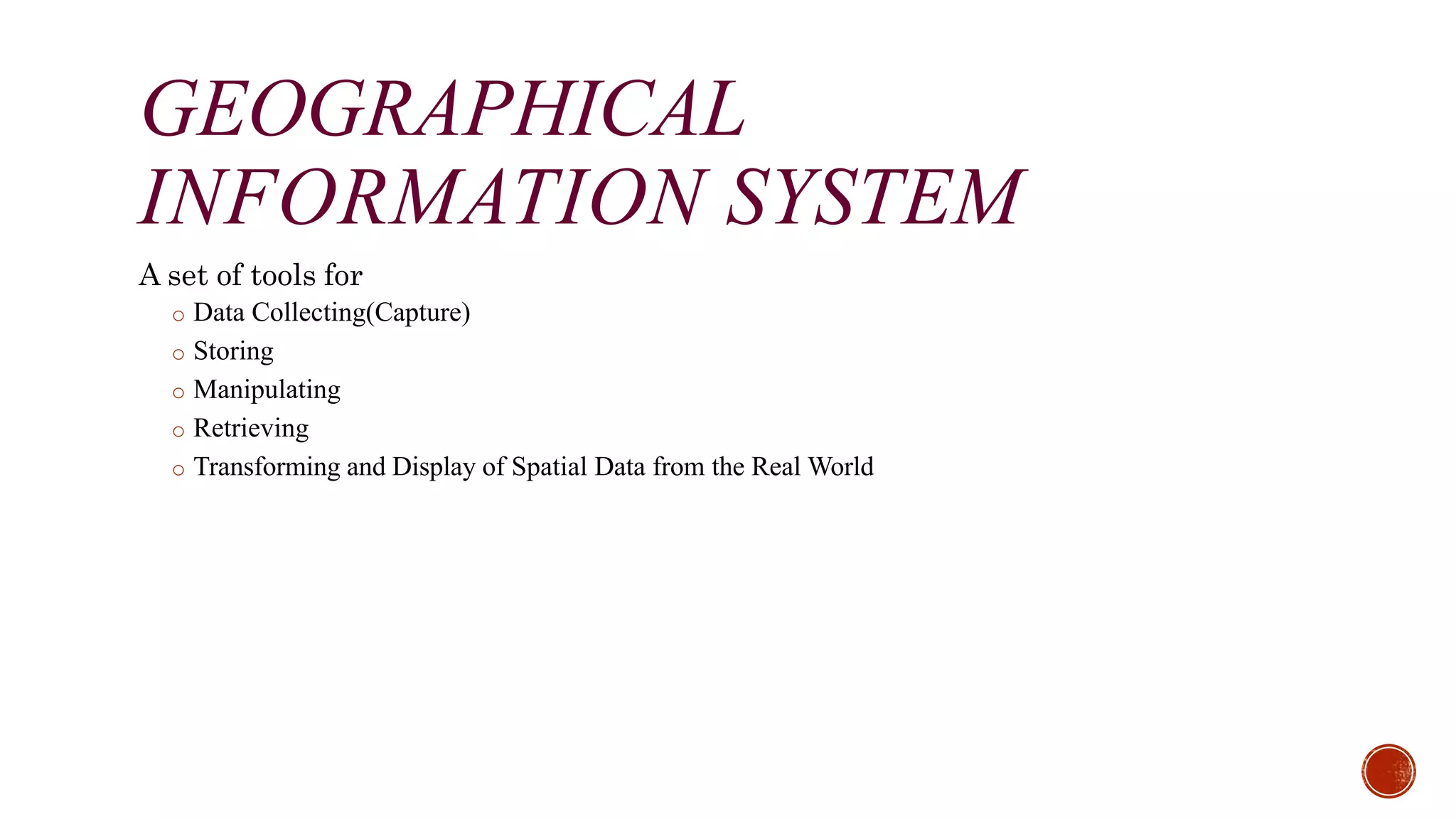
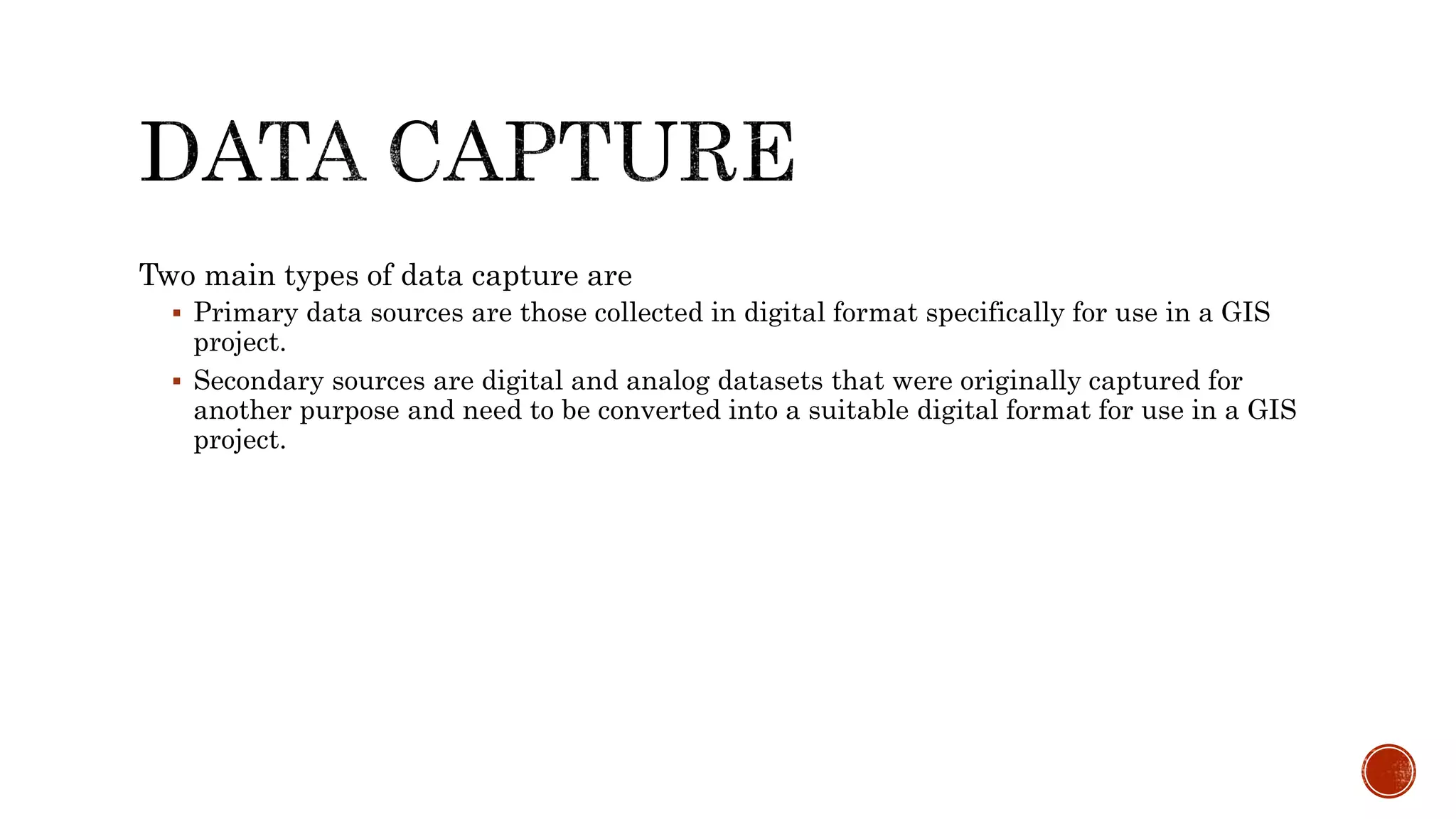
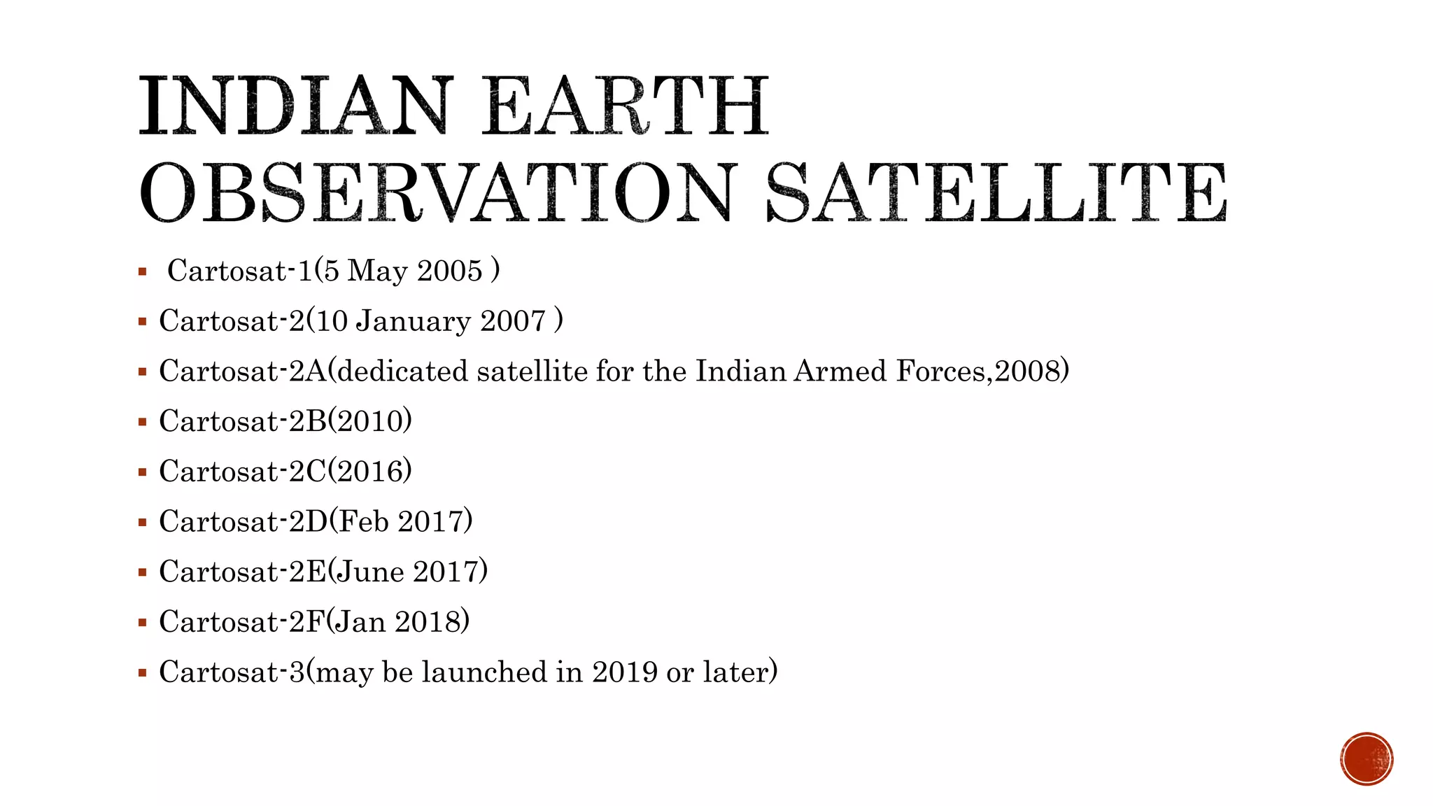
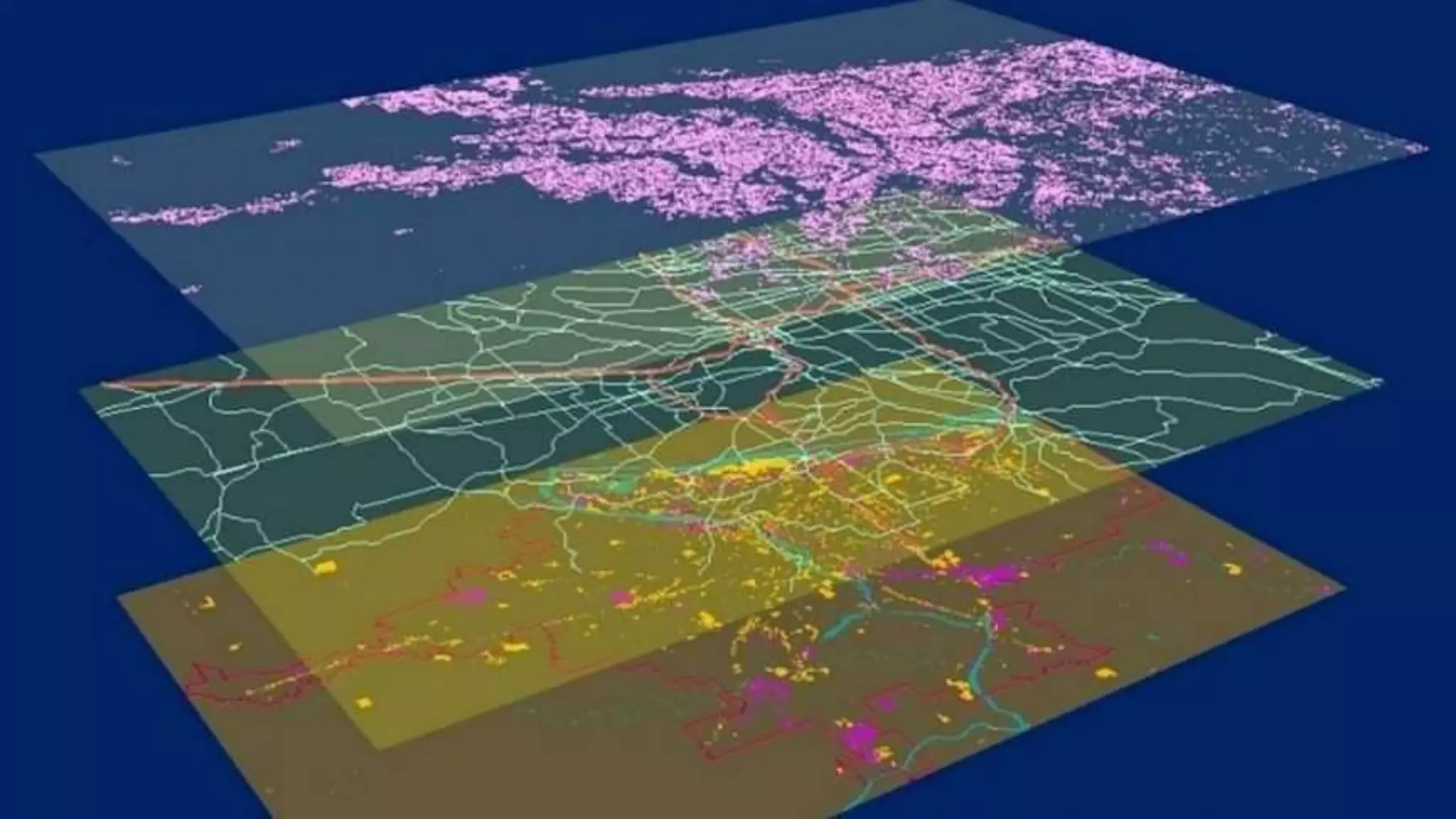
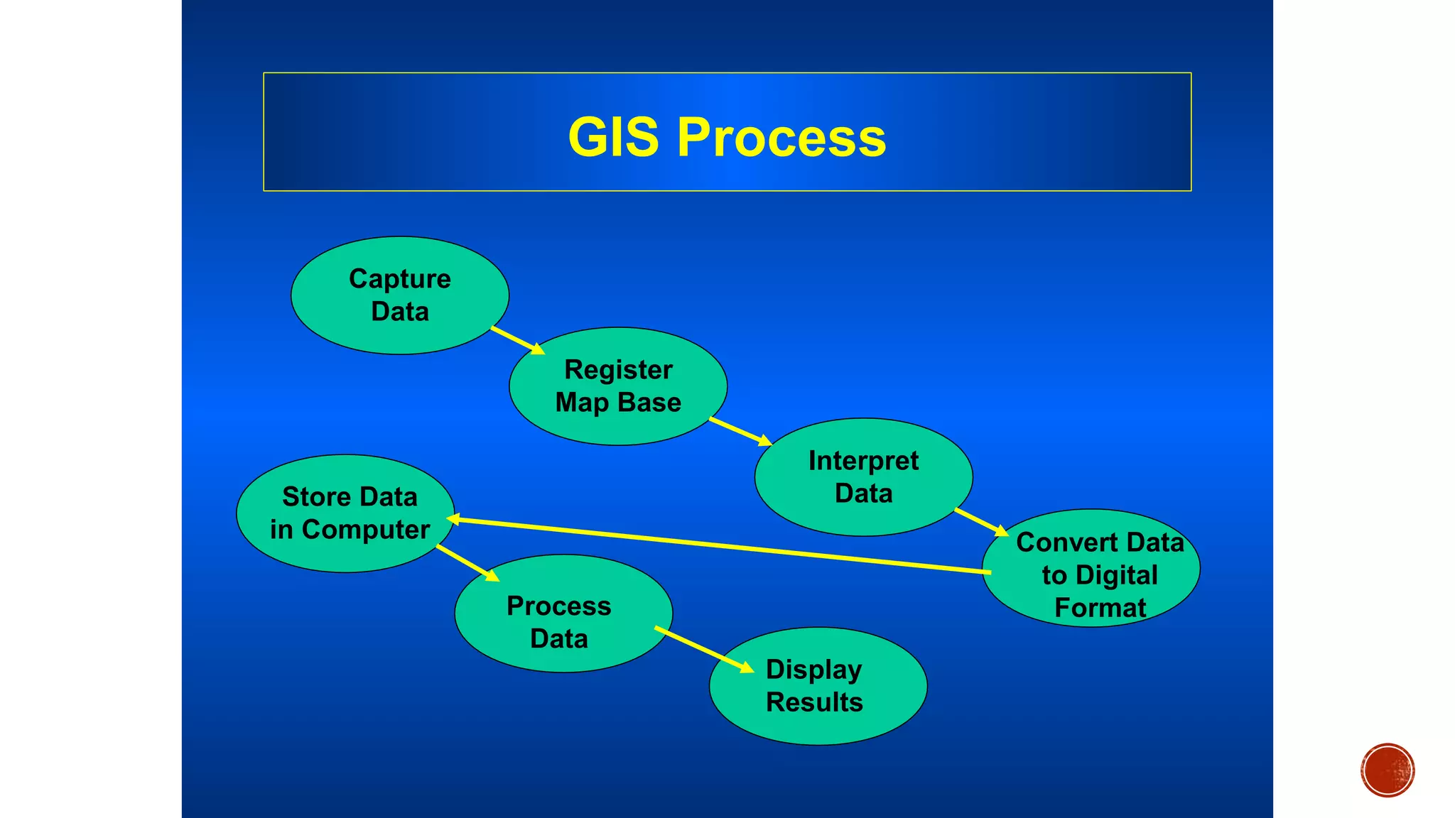
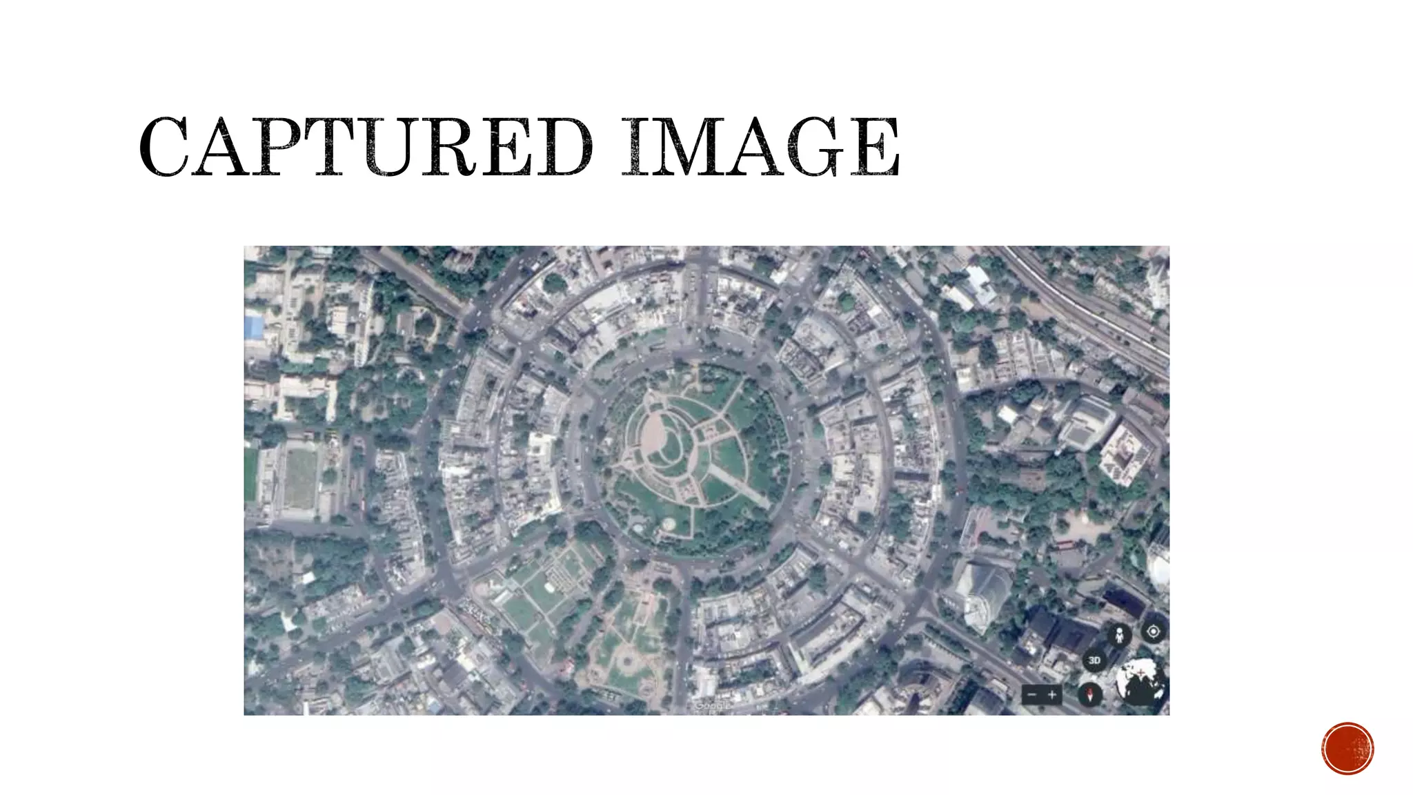
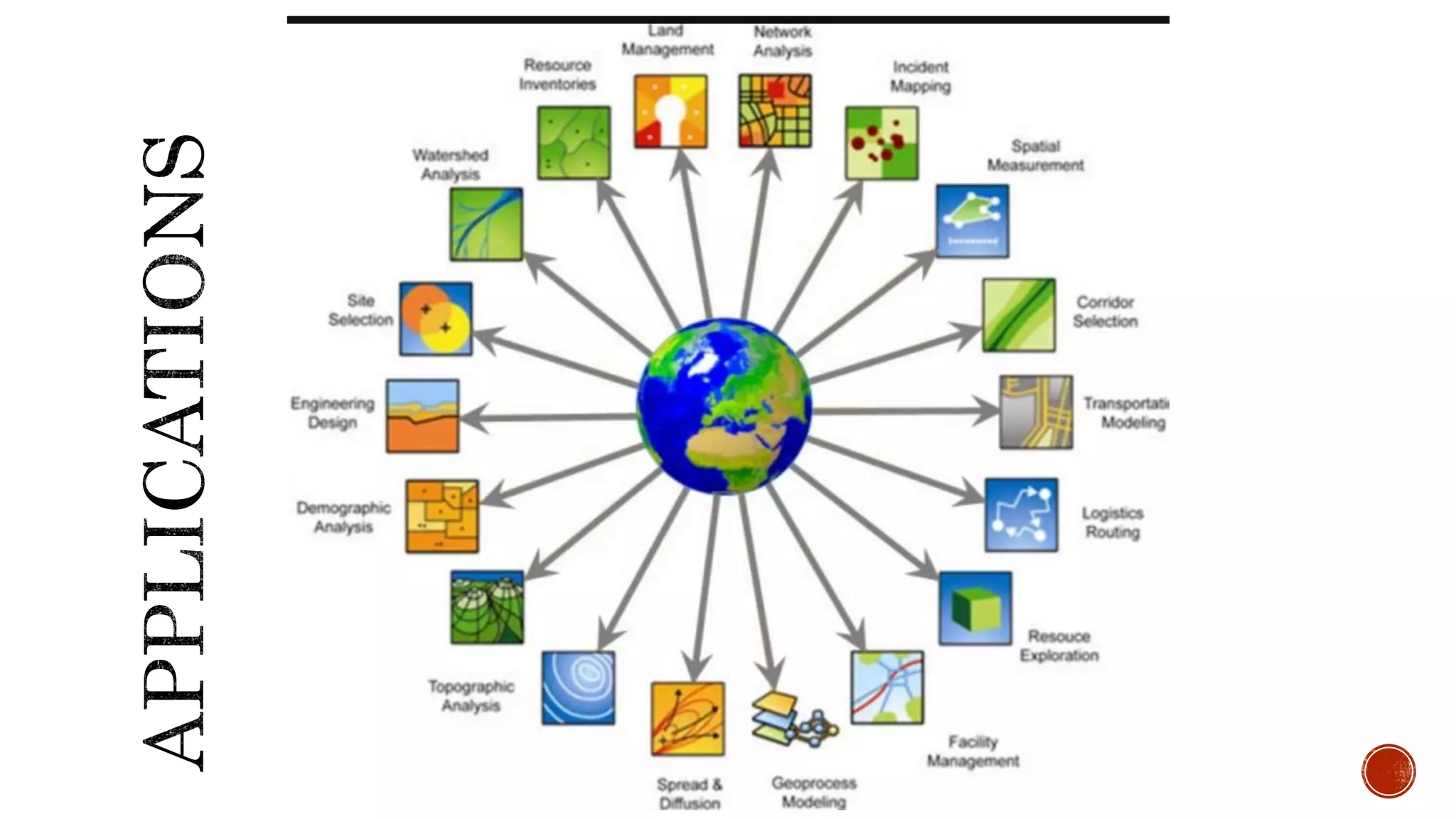
The document provides an overview of Geographic Information Systems (GIS), explaining its components, data capture methods, and applications in both civil and military contexts. It details the two main data sources: primary and secondary, as well as various techniques for data capture, including remote sensing and ground surveying. Additionally, it highlights the significance of GIS in interpreting spatial data and its role as an essential information system for countries.


![[1.] OpenCV-Python Tutorials
Documentation by Alexander Mordvintsev & Abid K :https://docs.opencv.org/3.0-
beta/doc/py_tutorials/py_tutorials.html
[2.] https://en.wikipedia.org/wiki/Cartosat
[3.] http://www.emrclub.in/pages/projectView.php
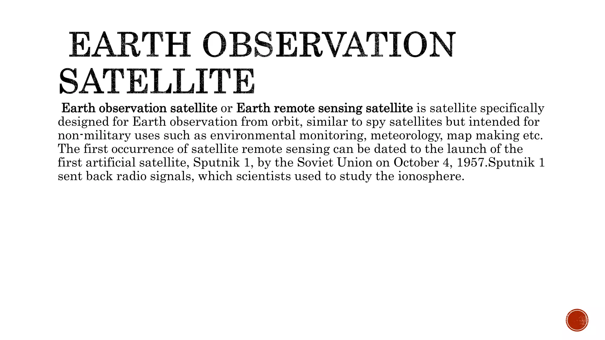
[4.] https://en.wikipedia.org/wiki/Earth_observation_satellite
[5.] https://en.wikipedia.org/wiki/Geographic_information_system
[6.] https://earth.google.com/web/
35](https://image.slidesharecdn.com/gis-190410095248/75/Geographic-information-system-22-2048.jpg)