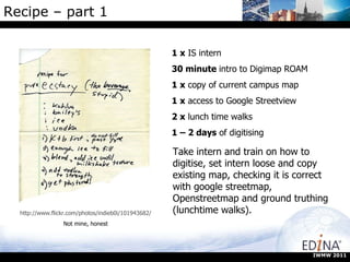
Downloaded 193 times

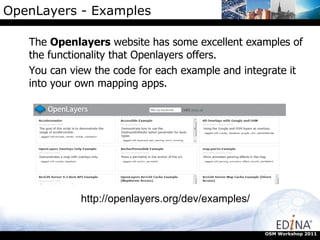
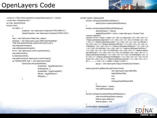
![OpenLayers - Code Google overlay: var map; function init() { map = new OpenLayers.Map({ div: "map", allOverlays: true }); var osm = new OpenLayers.Layer.OSM(); var gmap = new OpenLayers.Layer.Google("Google Streets", {visibility: false}); // note that first layer must be visible map.addLayers([osm, gmap]); map.addControl(new OpenLayers.Control.LayerSwitcher()); map.zoomToMaxExtent(); } OSM Workshop 2011](https://image.slidesharecdn.com/addy-110831140834-phpapp01/85/Map-Styling-Tools-and-Interactive-maps-on-the-web-with-OpenLayers-Addy-Pope-GoGeo-21-320.jpg)
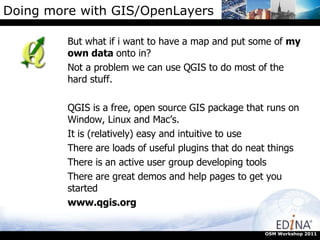
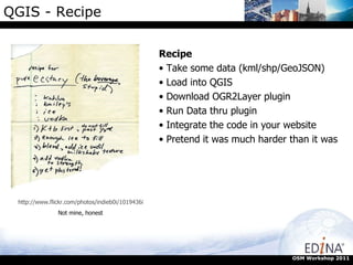
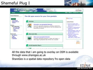
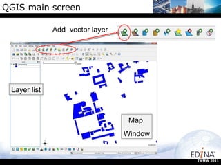


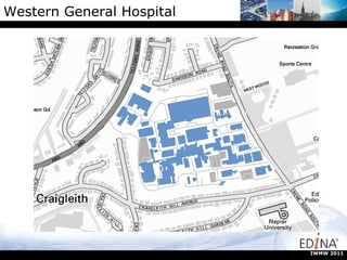
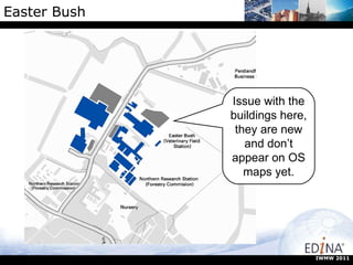

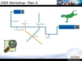
The OSM Workshop 2011, organized by Edina, focused on enhancing the use of geospatial data and technologies through various tools such as QGIS, OpenLayers, and Mapnik. Participants learned about contributing data to OpenStreetMap and customizing map themes, as well as integrating personal data into mapping applications. The event aimed to facilitate wider engagement with GIS technologies beyond traditional user groups, showcasing successful global examples and encouraging practical applications in links with educational institutions.


