Download to read offline


![Thanks! @JCSanford [email_address] http://geojason.info](https://image.slidesharecdn.com/foss4g-map-110922230624-phpapp02/85/The-FOSS4G-Map-25-320.jpg)

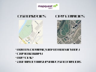
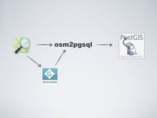
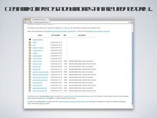
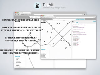
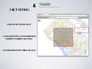
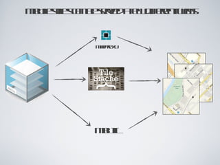
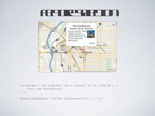
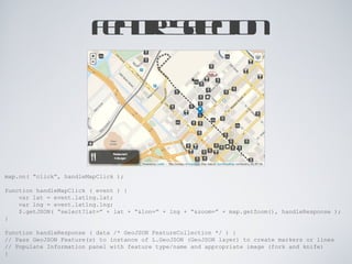
The document discusses several open source geo tools that can be used to create a simple web map, including Polymaps and Leaflet. It provides details on MapQuest OSM tiles and custom tiles that can be used as basemaps and are free to use with attribution. It also discusses tools for tile creation from OSM data like osm2pgsql and PostGIS, tile styling with TileMill, and tile exporting and serving options like MBTiles and MapProxy. Finally, it provides an example of handling click events on the map and querying location data with GeoJSON.


