Download to read offline
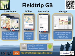
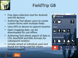
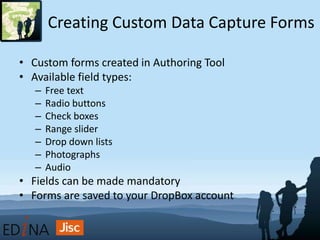
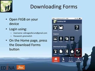
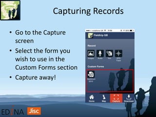
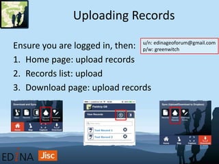
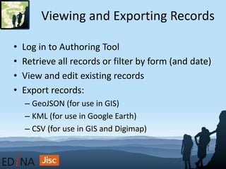
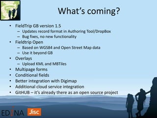
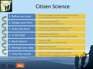


FieldTrip GB is a free mobile app for Android and iOS that allows users to collect location-based data. It has an authoring tool that allows users to create custom data collection forms with multiple fields. Users can capture location data using their device's GPS and download forms for offline use. The authoring tool also allows users to export collected data to CSV, GeoJSON, and KML formats for analysis. Future updates may include additional form functionality, integration with other cloud services, and an open source version called FieldTrip Open. The app has been used for citizen science projects where volunteers collect environmental data.


