Downloaded 15 times


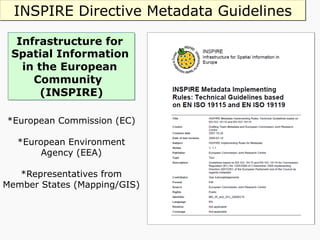
![INSPIRE Directive [2007 /2/ EC]
Ø Targets electronic spatial data and services for environmental
information.
Ø Aims to create a European Spatial Data Infrastructure (SDI) based
on Member States’ infrastructures, to improve interoperability of
spatial information.
Ø Data and services to be delivered through European initiatives.
Ø INSPIRE Regulations came into force on 31 December 2009 and
applies to England, Northern Ireland and Wales.
Ø Scotland’s Parliament enacted a complementary regulation on the
same date.
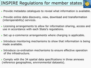
Ø Public authorities obliged to produce and keep ‘metadata’ current
for describing datasets, dataset series and geo-services.
Ø Includes UK academia (Freedom of Information Act, 2000).](https://image.slidesharecdn.com/itsallgreektome-151016135520-lva1-app6891/85/Geospatial-Metadata-and-Spatial-Data-It-s-all-Greek-to-me-33-320.jpg)


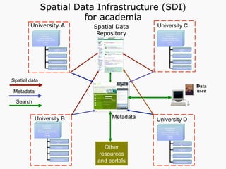

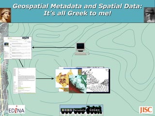
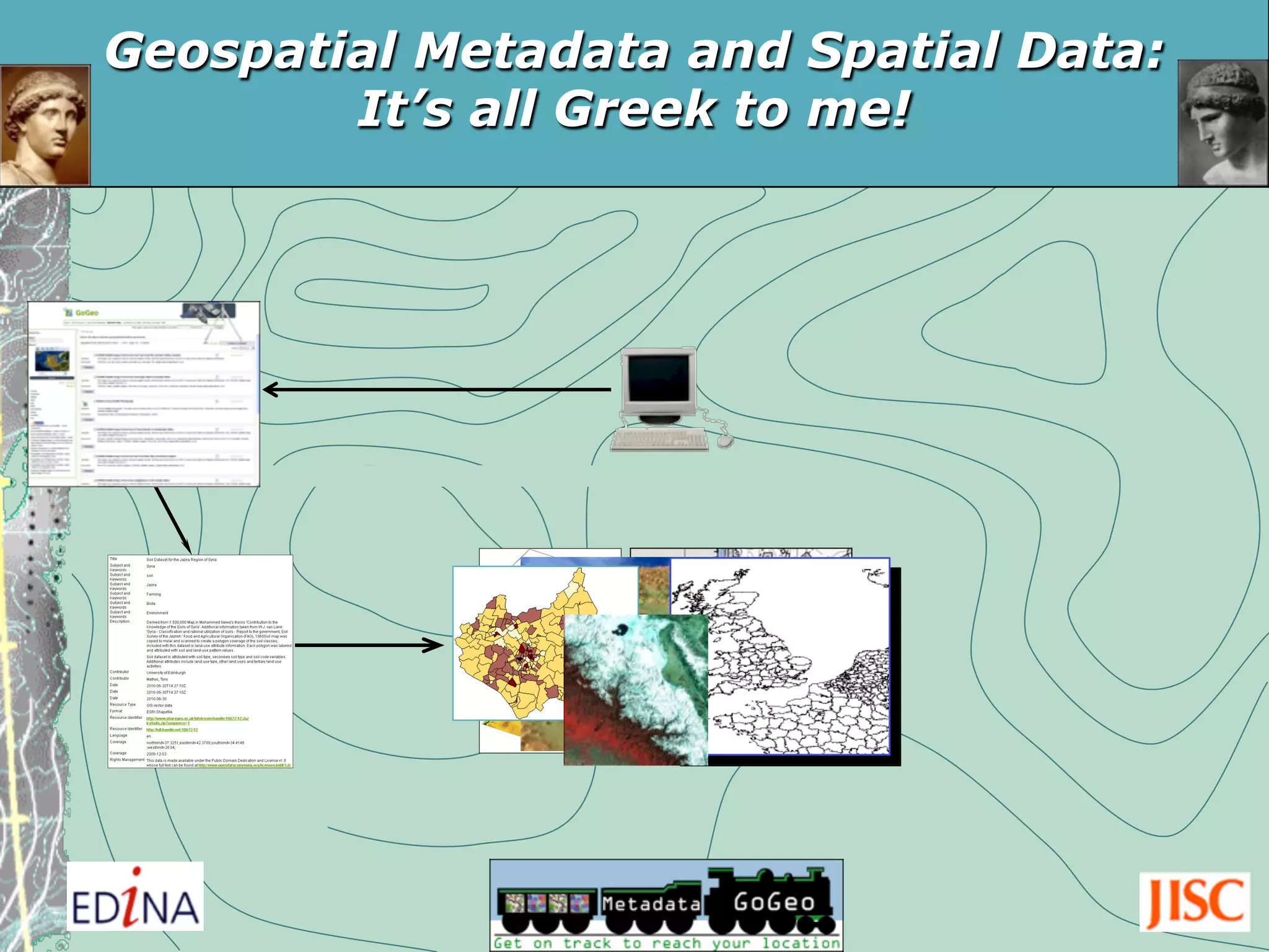
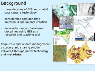
The document discusses the significance of geospatial metadata and spatial data management in academia, focusing on standards such as ISO 19115 and UK Gemini 2.1. It emphasizes the role of metadata as a vital component for documenting spatial datasets, facilitating data discovery, and ensuring interoperability across various fields. Additionally, it highlights tools like the GeoDoc metadata editor and the GoGeo portal for managing and sharing spatial data effectively.