Downloaded 203 times
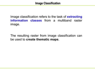


This document contains a summary of an advanced image classification workshop presentation. It discusses pixel-based and object-based image classification techniques. Pixel-based classification involves classifying pixels based on their spectral values using supervised or unsupervised classification methods. Supervised classification uses training data to develop algorithms to classify pixels, while unsupervised classification automatically groups pixels into clusters. Object-based classification considers both spectral and spatial characteristics of grouped pixels.