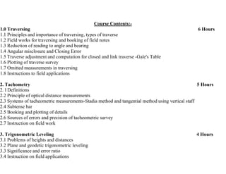
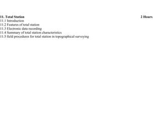
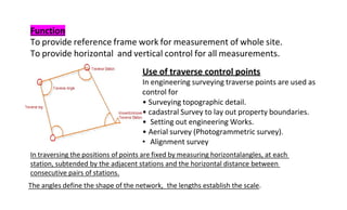
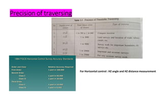
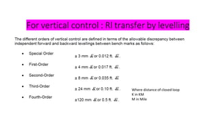
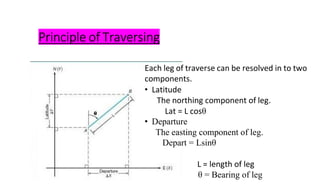
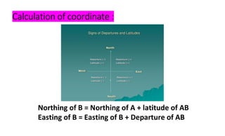
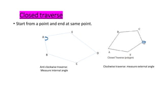
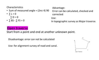
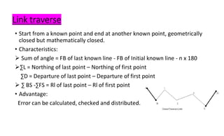
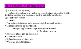
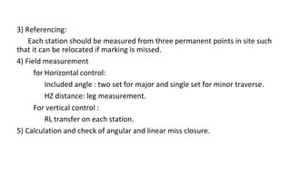
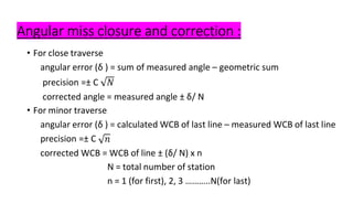
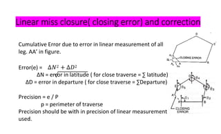
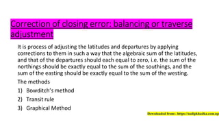
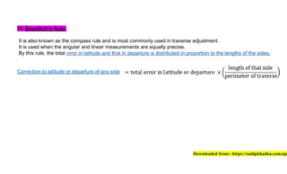
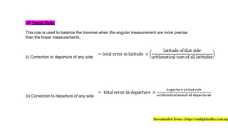
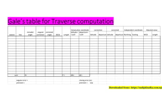
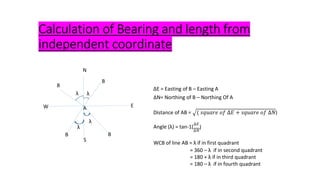
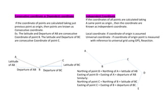
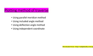
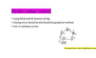
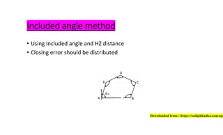
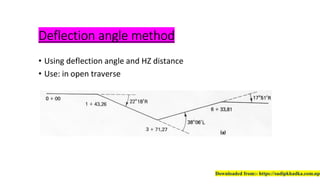
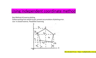
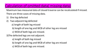
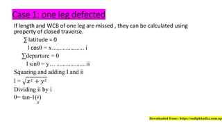
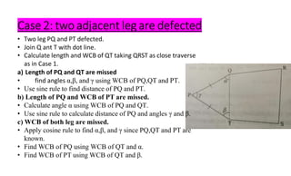
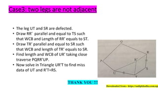
The document outlines a comprehensive syllabus for a civil engineering course focused on surveying techniques, including traversing, tachometry, trigonometric leveling, contouring, orientation, curves, triangulation, photogrammetry, GPS systems, EDM, and total stations. Each section details the principles, methods, applications, and necessary field procedures, emphasizing the importance of precision and error correction. Additionally, the document covers procedures for calculating omitted data and the classification of traverses, providing structured guidelines for surveying practices.