Downloaded 146 times
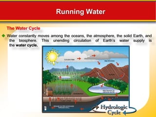
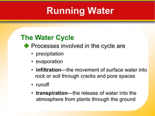


The document discusses groundwater and the water cycle. It describes how (1) water moves among oceans, atmosphere, Earth and biosphere in the water cycle through processes like infiltration, transpiration and precipitation; (2) there is a balance in the water cycle as annual precipitation equals evaporation globally; and (3) groundwater is water located underground in the saturated zone below the water table, where it moves slowly through pores and fractures in rock and soil.


