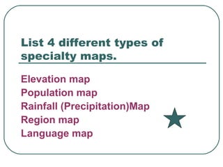
Social Studies Chapter 2 Review 4-3
What are the 5 regions of the U.S.? West, Midwest, Northeast, Southeast, Southwest
What are the cardinal directions? North, south, east, west
What are the intermediate directions? Northwest, Northeast, Southwest, Southeast
What does a compass rose show? North, northwest, northeast, west, east, south, southwest, southeast
A ____ tells what each symbol stands for on a map. Map key
The _____ of a map shows the relationship between map distances and real distance. scale
Imaginary lines around the globe that run east and west; also called parallels. Lines of latitude
The _____ is the starting point for measuring latitude? equator
The longitude of the prime meridian is? 0 degrees
Imaginary lines around the globe that run between the North and South Poles; also called meridians Lines of longitude
A ________  _____ shows just one kind of information. Specialty map
A low, flat land that runs along a coast is? Coastal plain
A high, flat landform that rises steeply from the land around it is? Plateau
An area of land that does not border an ocean is called? inland
A bowl-shaped landform that is lower than the surrounding land is called? basin
List 4 different types of specialty maps. Elevation map Population map Rainfall (Precipitation)Map Region map Language map
What comes first, latitude or longitude? Latitude
True or False Lines of longitude are labeled North or South? False East or West
Question here Answer here

Social Chapter 2 Review