Download to read offline


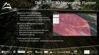


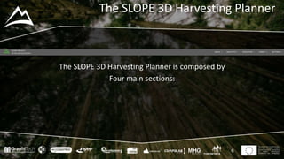
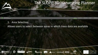


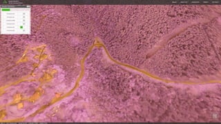

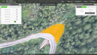

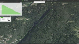

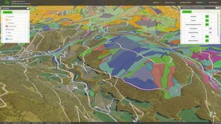

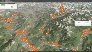


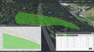

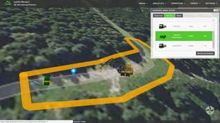

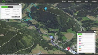

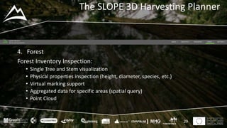
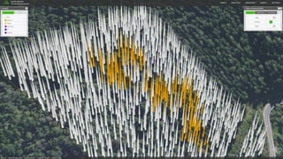
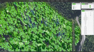
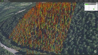
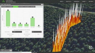


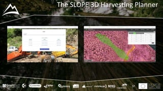


The SLOPE 3D Harvesting Planner is a web-based tool for forest management and timber harvesting operations. It allows users to (1) select forest areas, (2) view geospatial data and analyze terrain features, (3) plan harvesting operations such as cableway deployment and work areas, and (4) inspect forest inventory and individual trees. The tool integrates 3D visualization with geospatial data to support all stages of forest planning and management.


