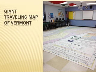
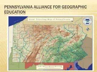
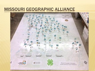
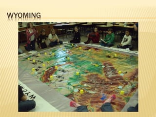
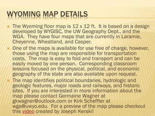
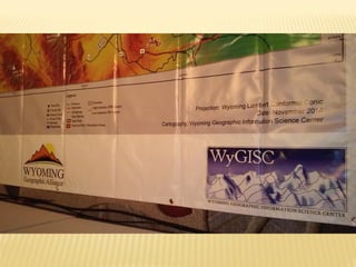
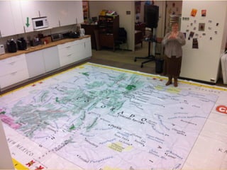
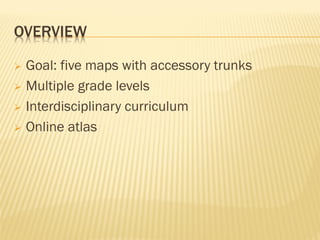
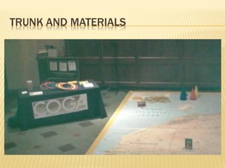
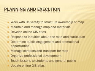
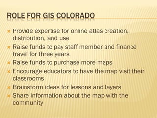
National Geographic is developing giant state maps and traveling trunks with accompanying lessons to teach geography. Several states have already created these resources, including Vermont, Pennsylvania, Missouri, Indiana, and Wyoming. Colorado is working to create its own giant state map and plans to have five maps available along with online atlases and interdisciplinary curriculum. The goal is to engage students and the public in learning about Colorado's geography. GIS Colorado could help by providing expertise for the online atlas, raising funds, and encouraging educators to utilize the maps.