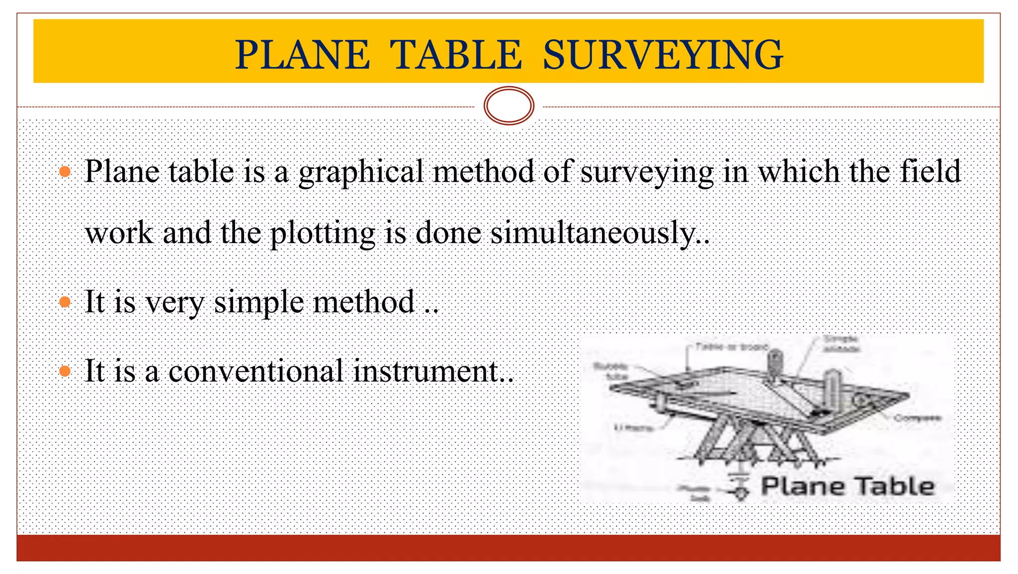
Plane table surveying involves simultaneously conducting field work and plotting measurements on a plane table. It uses accessories like a plane table, alidade, compass, and tripod to take measurements via methods such as radiation, intersection, and resection. Plane table surveying is used to map details between fixed points determined by other methods, in magnetic or industrial areas, and for small-scale maps. Potential errors include instrumental errors and errors in sighting or plotting. Advantages are low cost, rapid work, and elimination of field notes, while disadvantages include unsuitability for large scales, accuracy, or wooded areas.