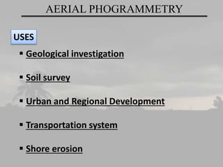
Aerial photogrammetry is a technique used to obtain reliable measurements of objects from their photographic images captured from aircraft. It involves taking precise photographs of terrain from an aircraft flying over an area. The photographs are then used to measure heights, areas, lengths, and densities of objects. Aerial photogrammetry has many applications including geological investigation, soil surveys, urban and regional development planning, transportation systems planning, and assessing shore erosion. Its key advantages are the ease and speed of data collection from a broad view, and that the results are highly accurate. Its disadvantages include needing light to work and susceptibility to digital data loss or hacking.