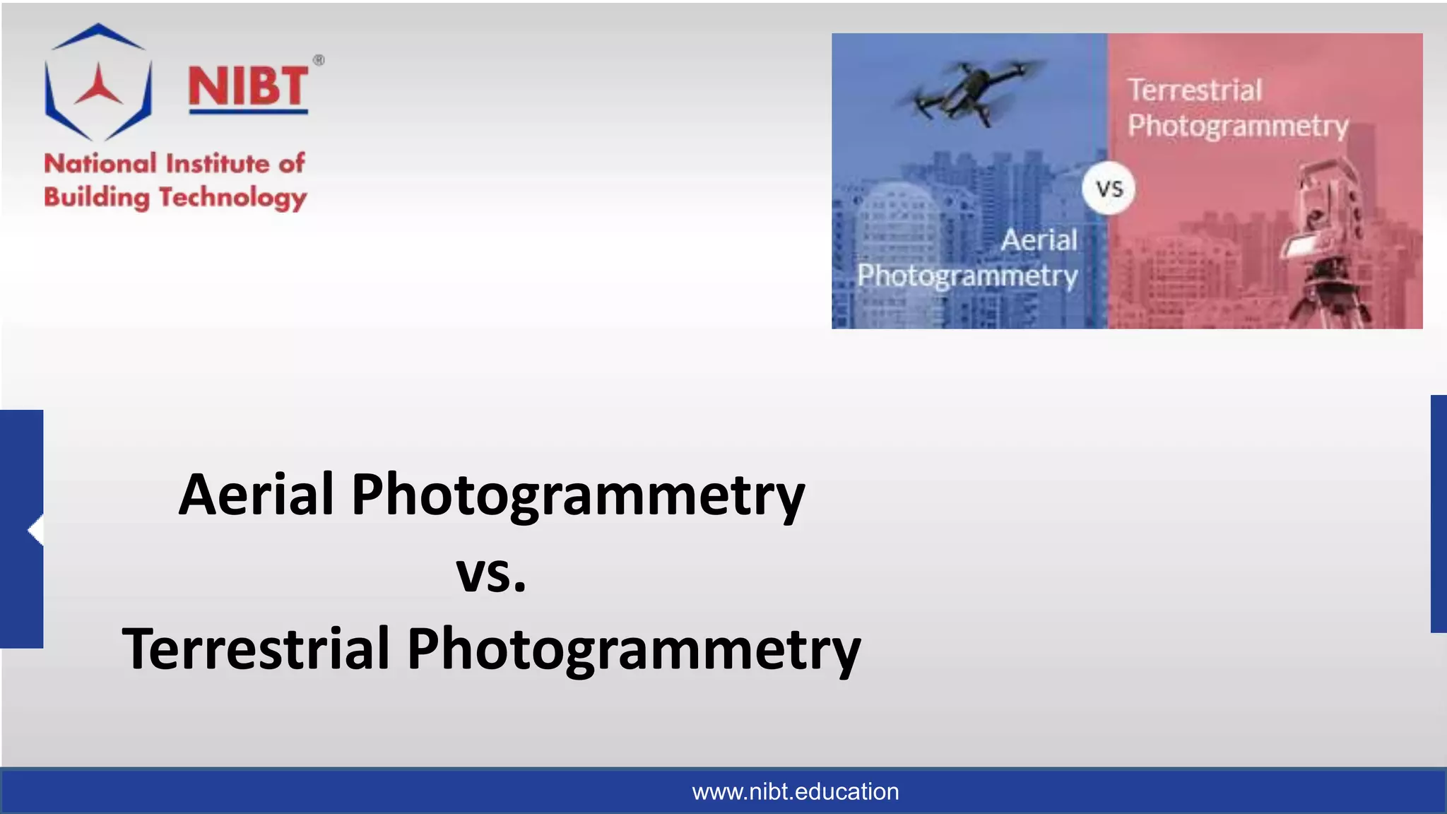
The photogrammetry is broadly classified into two types as Aerial Photogrammetry and Terrestrial Photogrammetry. Aerial and Terrestrial photogrammetry are used for mapping and measurement related issues. Aerial is far range & terrestrial is close range photogrammetry
Photograph taken from an aircraft commonly termed as aerial photograph have come to play and ever increasing role in the execution in cartographic mapping in various scales and in evaluation of natural resources of a region. Uses of aerial photographs in other fields are also manifold; in fact the scope seems limitless.
Parallax
Apparent shift in the position of an object, with respect to a frame of reference, caused by a shift in the position of observation.
Change in position of an image from one photo to the next is caused by aircraft’s motion.
– Called stereoscopic parallax, x parallax, or simply parallax
Parallax of any point is directly related to the elevation of the point.
Parallax is greater for high points than for low points.
Stereoscopic Parallax
Stereoscopic parallax is caused by taking photographs of the same object but from different points of observation.
Note the displacement between the top and base of the storage towers in this photo stereo-pair.
Parallax of Principal Point
Parallax of left ground principal point is photo base b’ measured on right photo, and the parallax of right ground principal point is photo base b measured on left photo.
For moderate relief, b ≈ b’
Photo base is average of two values
Photographic Flight-Line Axes for Parallax Measurement
Parallax is occurred along the flight-line.
Photographic x and x′ axes for parallax measurement must be parallel with the flight line.
Flight line is the line connecting the two principal points.
The y and y′ axes for parallax measurement pass through their respective principal points and are perpendicular to the flight line.
Monoscopic Methods of Parallax Measurement
Direct measurement of x and x' on the left and right photos, respectively.
By fastening the photographs down on a table:
flight lines O_1 O_2 and O_1'O_2' are marked as usual.
Now parallax is P_b=D-d_(b )
Stereoscopic Methods of Parallax Measurement
Stereoscope is used with a parallax bar, or a stereometer for calculation.
D = spacing between principal points
C= the parallax bar constant.
K = the distance from the fixed mark to the index mark of the parallax.
Parallax pf Point A =P_a=X_a'-X_a=D-(K-r_a)=(D-K)+r_a
The Global Positioning System is a satellite-based radio navigation system for determination of precise position and time, using radio signals from the satellites, in real-time or in post-processing mode.
Photogrammetry: Latest Technology to Create Maps Using Drones?NI BT
To know more about Photogrammetry: Latest Technology to Create Maps Using Drones and also get information of aerial photogrammetry, drone photogrammetry which can be used in Geographical informational system industries
Photogrammetry Surveying, its Benefits & DrawbacksNI BT
Learn the Photogrammetry Surveying and benefits-drawbacks of photogrammetry. Photogrammetry is the process of generating a 3D model from a set of 2D photographs. In Surveying, this is done by taking two or more images of the same point from different angles
Many students these days are in a terrific confusion of what to do or where to go after graduation? This article will certainly helpful for those to analyze and choose photogrammetry as the career option.
This presentation about photogrammetry survey, this presentation gives a complete detail of photogrammetry survey. Photogrammetry survey is a powerful technique used in various industries to obtain accurate measurements and three-dimensional (3D) data from photographs. It involves the process of extracting precise geometric information from images using specialized software, providing a cost-effective and efficient method for capturing and analysing spatial data.
Photogrammetry predicts infrastructure problems before they happenNI BT
Photogrammetry plays a varied role in Predicts Infrastructure Problems like bridges, dams, and skyscrapers. Photogrammetry and UAV technologies, it is now possible to detect the issue before they arise and thus can save lives as well as money in the process.
Presentation by Cascadian Aerial Robotics LLC about how drones are helping Construction firms with aerial inspections, Mapping, virtual walk-throughs , BIM and VDC. For more information, head to https://www.cascadianaerialrobotics.com
Drones are shaping the construction industry as we know it. There are obvious - and less obvious - applications of these flying wonders for the construction and engineering industries. In this post, we look at the ‘state of the art’ as it is today, and touch on a few key themes for the future.
Autodesk Revit MEP is building information modeling software for architects, structural engineers, engineers, contractors, and Construction professionals. Real-time Revit MEP Training by Industry experts.
Autodesk Navisworks has become an essential tool for the global BIM strategy. If you wish to learn more about Navisworks or take a course on it, read here.
Top 5 trends reshaping the process of building information modelingNI BT
Building Information Modeling has already started to develop as a more great alternative to 3D CAD modeling. Along with the engineers and architects many stakeholders in the BIM process are taking the advantages. Check out the Top 5 Trends Reshaping the Process Of Building Information Modeling.
Geographic information system(GIS) is a vital technology platform for farmers in India and abroad. The implementation of this technology can bring about huge benefits for farmers to garner a better crop yield and reap substantial revenue for a good quality life.
BIM Building Information Modeling is much more than model creation, it is human and software collaboration through large volumes of construction data that is communicated at every point in the development life-cycle for a project(s).
Reasons to switch to geographic information system (gis) for civil engineeringNI BT
GIS is a precise analytical tool that provides accurate spatial data for construction companies to start their projects through cost-effective solutions, precise analysis, etc. Every phase of the infrastructure life-cycle can be enhanced through GIS.
Build up smart cities through positive urbanization & geographic informat...NI BT
Smart cities will present a substantial growth factor in years to come. But these cities will have to go through challenges, and these challenges can be solved through the application of GIS for planning, conceptualization, and development.
Discover specific primavera p6 alap project constraintsNI BT
Do you know that Primavera P6 has As Late As Possible Project Constraints? If you are unaware of such Project Constraints, then you can read on this guide. The guide helps you to get complete knowledge about it.
Know the project kickoff meeting and project execution planNI BT
Do you want to know about the proper Project Execution Plan in BIM? The concepts of Project KickOff Metting and BIM Set Up is explained regarding Project Execution Plan. These details will guide you in future. You can take the NIBT's course to learn regarding the Setup and Project Kickoff Meeting.
Check on the opportunities after completing bim hvac coursesNI BT
HVAC (Heating, Ventilation, & Air Conditioning) is very essential when it comes to modeling buildings like residential, commercial, marine constructions, etc. Employers look for people talented in Autodesk Revit and BIM in HVAC. Hence, it is beneficial to do NIBT's HVAC courses and get HVAC training
Know how to Transfer Views, Family Types, Elements within Revit ProjectsNI BT
Know how to Transfer Views, Family Types, Elements within Revit Projects Let's understand how the system family types, drafting views, etc. can be transferred between projects also check the Ways to Transfer Revit Families from One Project to Another
Here are some basic tips for creating schedule or quantity in Revit. There are lots of schedule types such as Graphics Column Schedules Material Takeoff Schedules, Key Schedules and many more. Learn and understand it to enhance your skill sets in Revit.
Learn Generic Annotations for the users of AutoCAD, a Generic Annotation Symbol in Revit is a block with attributes from AutoCAD. Understand in brief What Is Generic Annotations in Revit? Also, check how to create a generic schedule and enhance your learning
"Understand the concept of Revit detailing drawings. As generating a good set of construction, drawings play an essential factor for making the excellent model of BIM (Building Information Modeling)
The article gives you the complete knowledge about the benefits of Service Detailing in Revit MEP. Are you aware of annotation and tagging in Revit? Lets take the first step by knowing the concepts of Annotation and Tagging in Revit.
Get detailed information on choosing LiDAR or photogrammetry for 3D mapping and surveying from your UAV. Also, know when you should use them both? And check which one is the best, Drone LiDAR or Photogrammetry?
Explore Why use tagging components and lines in your project? Learn the concept How tagging components are essential during setup of your project. The article gives you a brief idea about Components and lines in Annotation & tagging. Also, enhance your knowledge.
Understand what geospatial technology is? Geospatial technology refers to all the techniques used to acquire, manipulate & store geographic information. Geospatial Technology is one of the forms of GIS. Various tools accomplish it like GIS, GNSS, RS, & other emerging technologies like Artificial Intelligence, IOT, Augmented Reality (AR), etc
Ethnobotany and Ethnopharmacology:
Ethnobotany in herbal drug evaluation,
Impact of Ethnobotany in traditional medicine,
New development in herbals,
Bio-prospecting tools for drug discovery,
Role of Ethnopharmacology in drug evaluation,
Reverse Pharmacology.
Model Attribute Check Company Auto PropertyCeline George
In Odoo, the multi-company feature allows you to manage multiple companies within a single Odoo database instance. Each company can have its own configurations while still sharing common resources such as products, customers, and suppliers.
Instructions for Submissions thorugh G- Classroom.pptxJheel Barad
This presentation provides a briefing on how to upload submissions and documents in Google Classroom. It was prepared as part of an orientation for new Sainik School in-service teacher trainees. As a training officer, my goal is to ensure that you are comfortable and proficient with this essential tool for managing assignments and fostering student engagement.
2024.06.01 Introducing a competency framework for languag learning materials ...Sandy Millin
http://sandymillin.wordpress.com/iateflwebinar2024
Published classroom materials form the basis of syllabuses, drive teacher professional development, and have a potentially huge influence on learners, teachers and education systems. All teachers also create their own materials, whether a few sentences on a blackboard, a highly-structured fully-realised online course, or anything in between. Despite this, the knowledge and skills needed to create effective language learning materials are rarely part of teacher training, and are mostly learnt by trial and error.
Knowledge and skills frameworks, generally called competency frameworks, for ELT teachers, trainers and managers have existed for a few years now. However, until I created one for my MA dissertation, there wasn’t one drawing together what we need to know and do to be able to effectively produce language learning materials.
This webinar will introduce you to my framework, highlighting the key competencies I identified from my research. It will also show how anybody involved in language teaching (any language, not just English!), teacher training, managing schools or developing language learning materials can benefit from using the framework.
Operation “Blue Star” is the only event in the history of Independent India where the state went into war with its own people. Even after about 40 years it is not clear if it was culmination of states anger over people of the region, a political game of power or start of dictatorial chapter in the democratic setup.
The people of Punjab felt alienated from main stream due to denial of their just demands during a long democratic struggle since independence. As it happen all over the word, it led to militant struggle with great loss of lives of military, police and civilian personnel. Killing of Indira Gandhi and massacre of innocent Sikhs in Delhi and other India cities was also associated with this movement.
Students, digital devices and success - Andreas Schleicher - 27 May 2024..pptxEduSkills OECD
Andreas Schleicher presents at the OECD webinar ‘Digital devices in schools: detrimental distraction or secret to success?’ on 27 May 2024. The presentation was based on findings from PISA 2022 results and the webinar helped launch the PISA in Focus ‘Managing screen time: How to protect and equip students against distraction’ https://www.oecd-ilibrary.org/education/managing-screen-time_7c225af4-en and the OECD Education Policy Perspective ‘Students, digital devices and success’ can be found here - https://oe.cd/il/5yV
Read| The latest issue of The Challenger is here! We are thrilled to announce that our school paper has qualified for the NATIONAL SCHOOLS PRESS CONFERENCE (NSPC) 2024. Thank you for your unwavering support and trust. Dive into the stories that made us stand out!
Palestine last event orientationfvgnh .pptxRaedMohamed3
An EFL lesson about the current events in Palestine. It is intended to be for intermediate students who wish to increase their listening skills through a short lesson in power point.
3. www.nibt.education
Introduction
• Photogrammetry is the science and technique that blends photography
and geometry. The principle is straightforward, yet it has a significant
impact on contemporary architectural establishments.
4. www.nibt.education
The procedure of photogrammetry, you can check here–
• We all know that photography generates 2D illustrations.
The photogrammetry system produces 3D estimations of the object and
surface from the 2D image/photograph.
• If you read our previous blogs on photogrammetry, then you will know
that Aerial and Terrestrial are two major varieties of photogrammetry.
• Let’s understand each one by one-
5. www.nibt.education
Aerial photogrammetry
• A machine, especially an aircraft (purposefully designed plane) or a drone,
i.e. Unmanned Aerial Vehicle (UAV) has the cameras attached. Therefore, it
can capture photos from the higher surface. The larger the number of images,
the higher is the accuracy of the statistics. It further helps in comparison of the
quality.
• The planes fly over the planned area with particular landmarks which they
have to capture. The speed of the aircraft regulates the camera’s catching
speed. Also, they know the height of the plane from the land surface. The
photographed surface area’s base contour/boundary is drawn using Stereo
Plotters.
6. www.nibt.education
Terrestrial photogrammetry
• The word Terrestrial means relating to Earth. Therefore it explains that
why the camera is in the stationary position in this kind of
photogrammetry. The camera’s position is elevated, and the tilt angle, the
focal length of the lens is adjusted.
7. www.nibt.education
Read More on Why Aerial Photogrammetry Differs from the Terrestrial One.
• The main difference is between the working and methodologies, even
though both are the branches of the photogrammetry.
• Therefore, the outputs generated are very varied from each other.
8. www.nibt.education
Apprehend the following points to notice the
distinction-
• The technical requirements of the Aerial photogrammetry are very high-
end; the specially designed planes or drones are just the initials.
• Although there is a much lesser investment in Terrestrial photogrammetry,
there is the requirement of high technical skills for operating the tools.
• To map a large surface area of the land, we can use Aerial
photogrammetry. But the knowledge of longitudes and latitudes with their
calculations are essential in photogrammetry operation.
9. www.nibt.education
• When there is a need for designers and planners to manage and plan bridges,
transportation network, pipeline networks, etc. then Terrestrial photogrammetry is
preferred. The adjustments of the camera’s axis as per the surface area matter a lot.
• The environmental projects which trace the changes of glaciers, volcanoes,
earthquakes, etc., use terrestrial photogrammetry methods.
• The fixed location of the camera creates such kind of data sets to work upon further.
• There are various benefits of aerial photogrammetry in the security field as well.
Archaeology also gets numerous advantages through aerial photogrammetry as you can
see a big chunk of the area at once.
10. www.nibt.education
• Terrestrial photogrammetry is preferable for movement-related and
comparatively smaller land masses, unlike the aerial one.
• The arena where both the fields play an active role is Urban Planning! That’s
obvious as with the help of aerial photogrammetry, designers and planners
generate an accurate perspective plan of the site or location. An aerial view
gives a bright idea of all around the neighborhood, and so it helps in further
assessment.
• Terrestrial photogrammetry, unlike aerial, creates visuals showing interrelation
between civil constructions, safety issues, disaster management and various
other problems. Thus, it helps in knowing the creation, prevention, and
demolition of any civilization.
11. www.nibt.education
Final Derivation
• Thus, it’s evident that by using both sorts of photogrammetry, we can
generate most efficient and disaster-prone constructions/infrastructures.
• So these were the fundamental differences between aerial and terrestrial
photogrammetry. Have you had a clear insight?
• Source: https://blog.nibt.education/2018/03/difference-between-aerial-
and-terrestrial-photogrammetry/