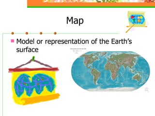
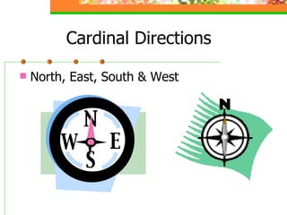
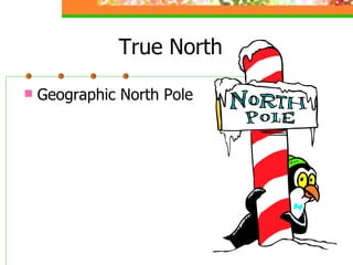
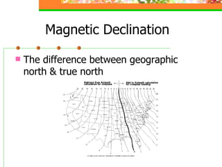
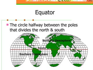
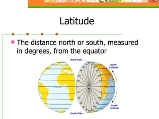
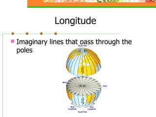
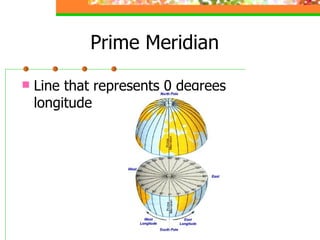
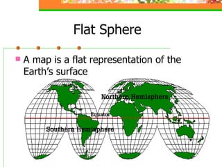
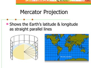
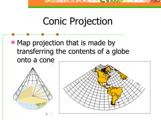
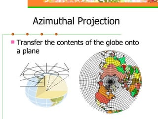
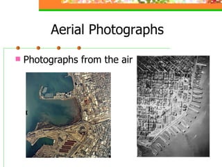
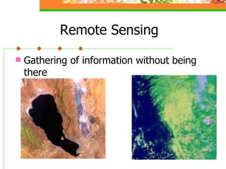
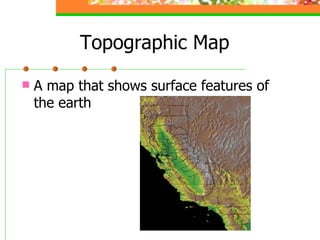
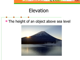
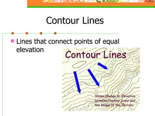
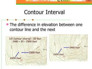
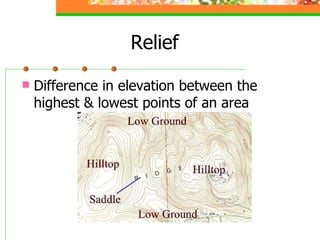
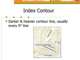
Chapter 2 Maps & Models of the Earth You are Here Section 1
Map Model or representation of the Earth’s surface
Cardinal Directions North, East, South & West
True North Geographic North Pole
Magnetic Declination The difference between geographic north & true north
Equator The circle halfway between the poles that divides the north & south
Latitude The distance north or south, measured in degrees, from the equator
Longitude Imaginary lines that pass through the poles
Prime Meridian Line that represents 0 degrees longitude
Chapter 2 Maps & Models of the Earth Mapping the Earth’s Surface Section 2
Flat Sphere A map is a flat representation of the Earth’s surface
Mercator Projection Shows the Earth’s latitude & longitude as straight parallel lines
Conic Projection Map projection that is made by transferring the contents of a globe onto a cone
Azimuthal Projection Transfer the contents of the globe onto a plane
Aerial Photographs Photographs from the air
Remote Sensing Gathering of information without being there
Chapter 2 Maps & Models of the Earth Topographic Maps Section 3
Topographic Map A map that shows surface features of the earth
Elevation The height of an object above sea level
Contour Lines Lines that connect points of equal elevation
Contour Interval The difference in elevation between one contour line and the next
Relief Difference in elevation between the highest & lowest points of an area
Index Contour Darker & heavier contour line, usually every 5 th  line

OLM Science6_2