Downloaded 63 times

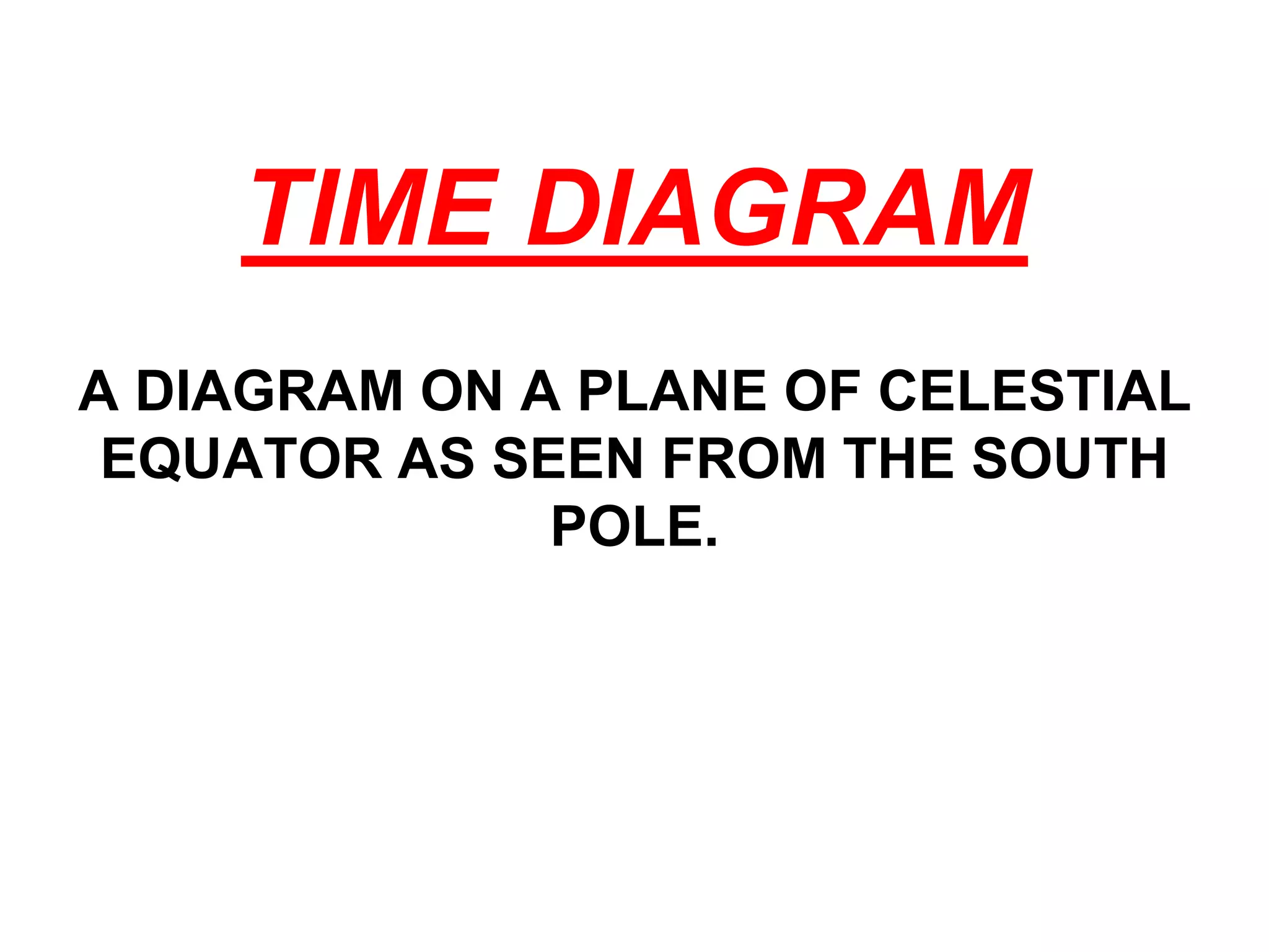
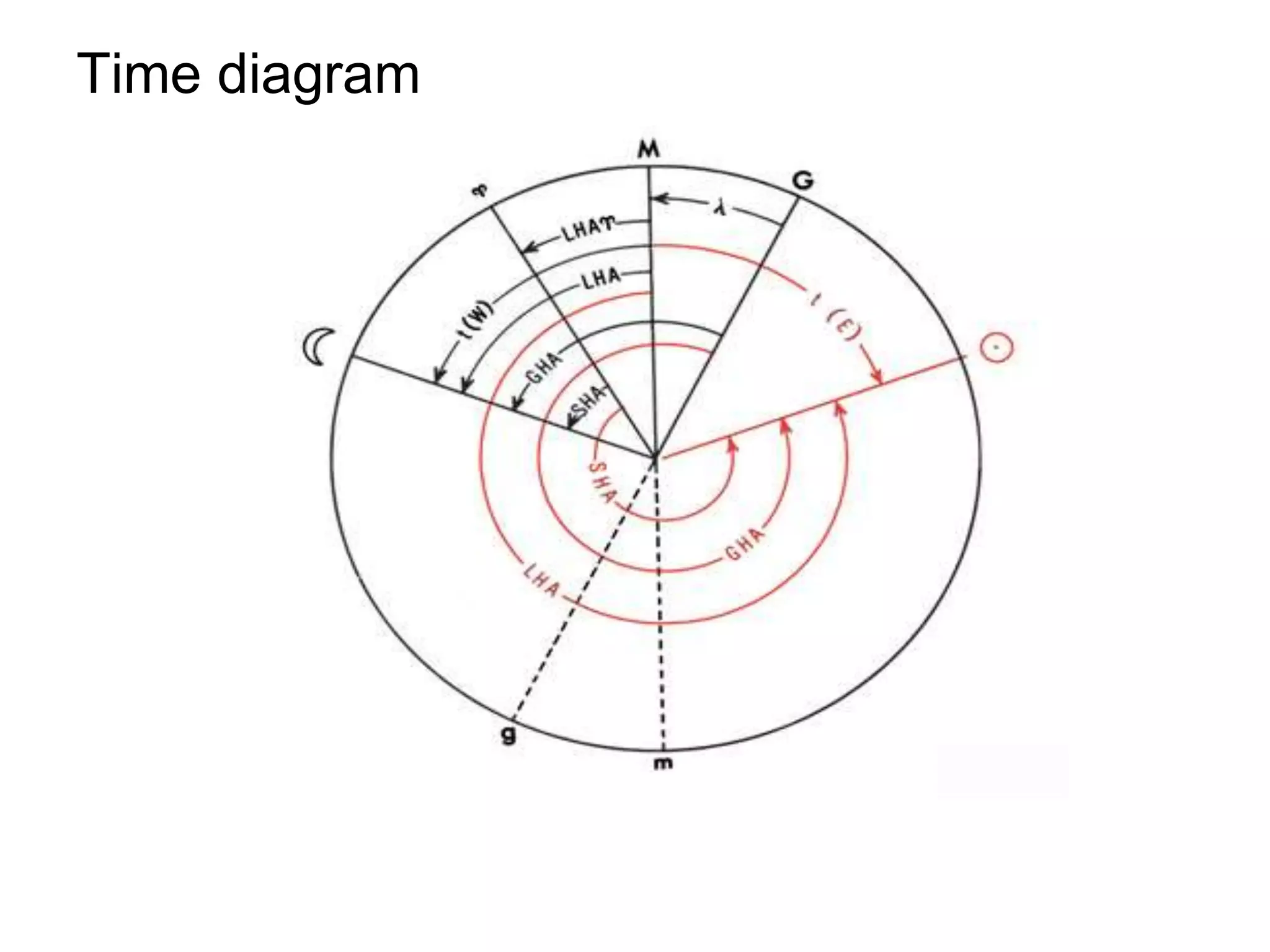
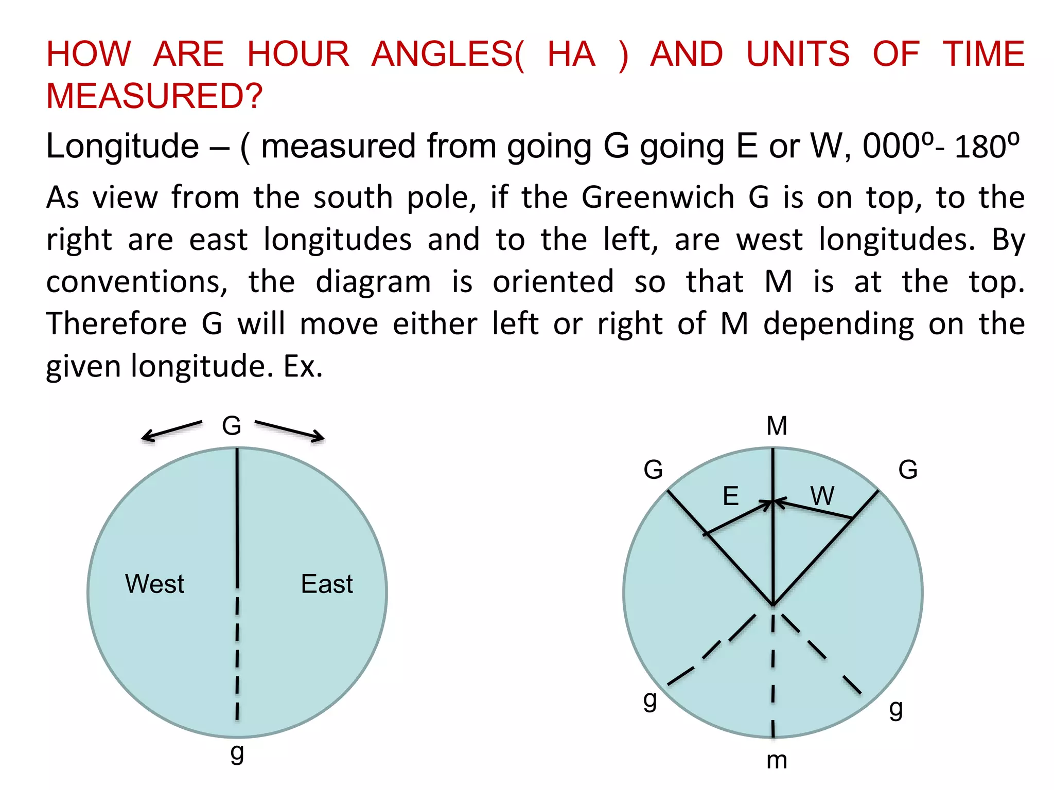
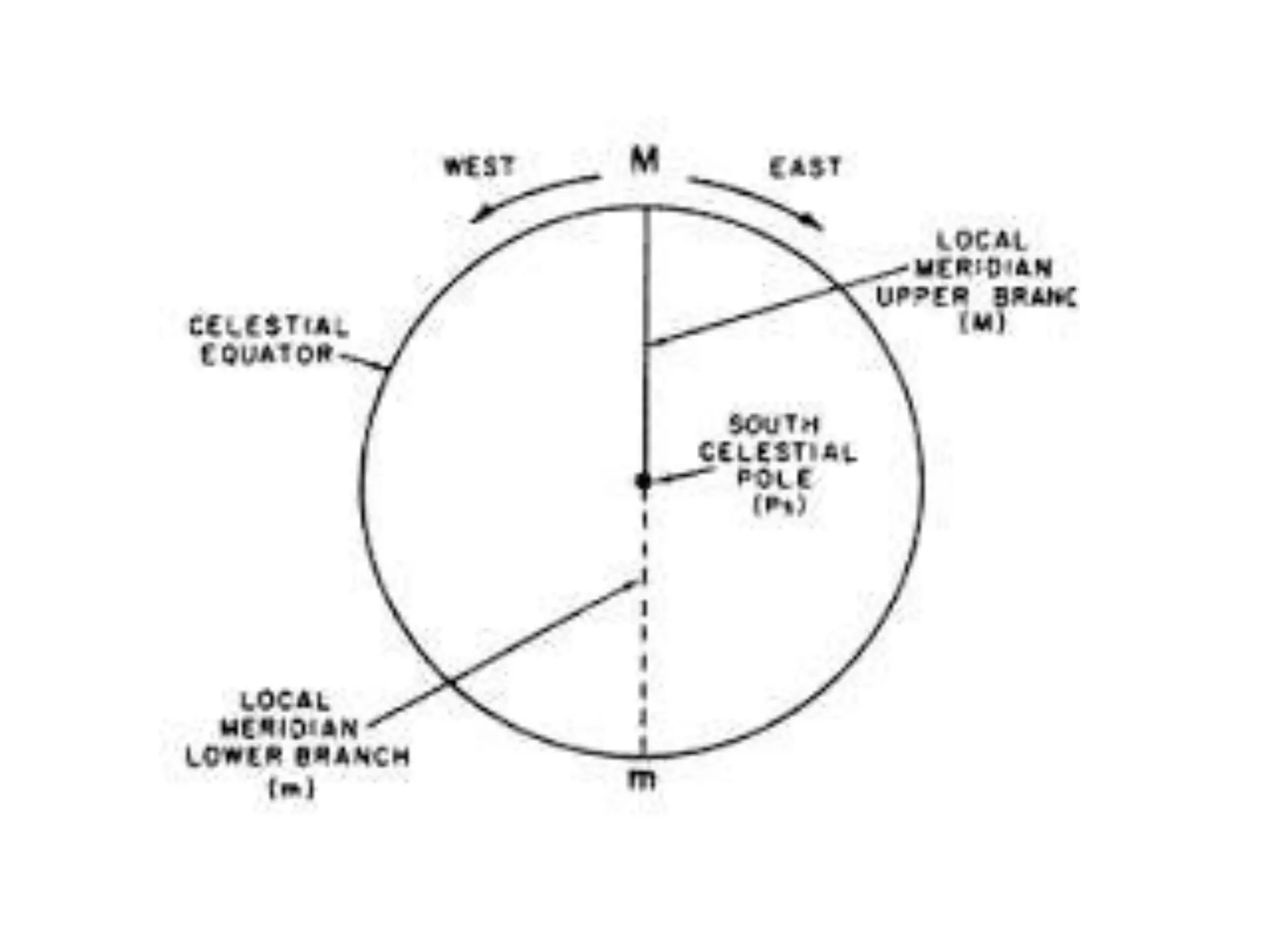
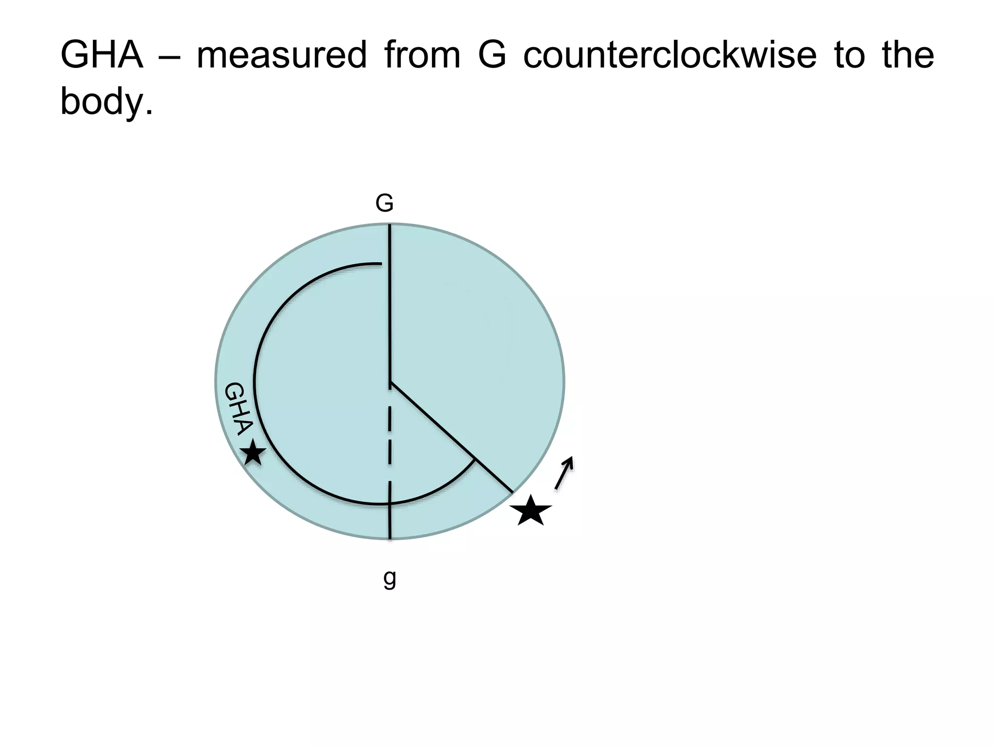
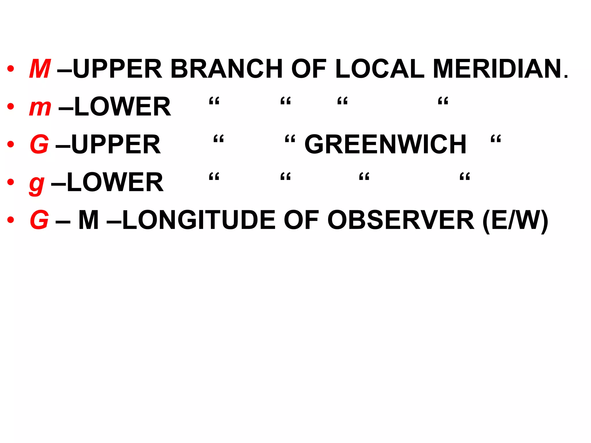

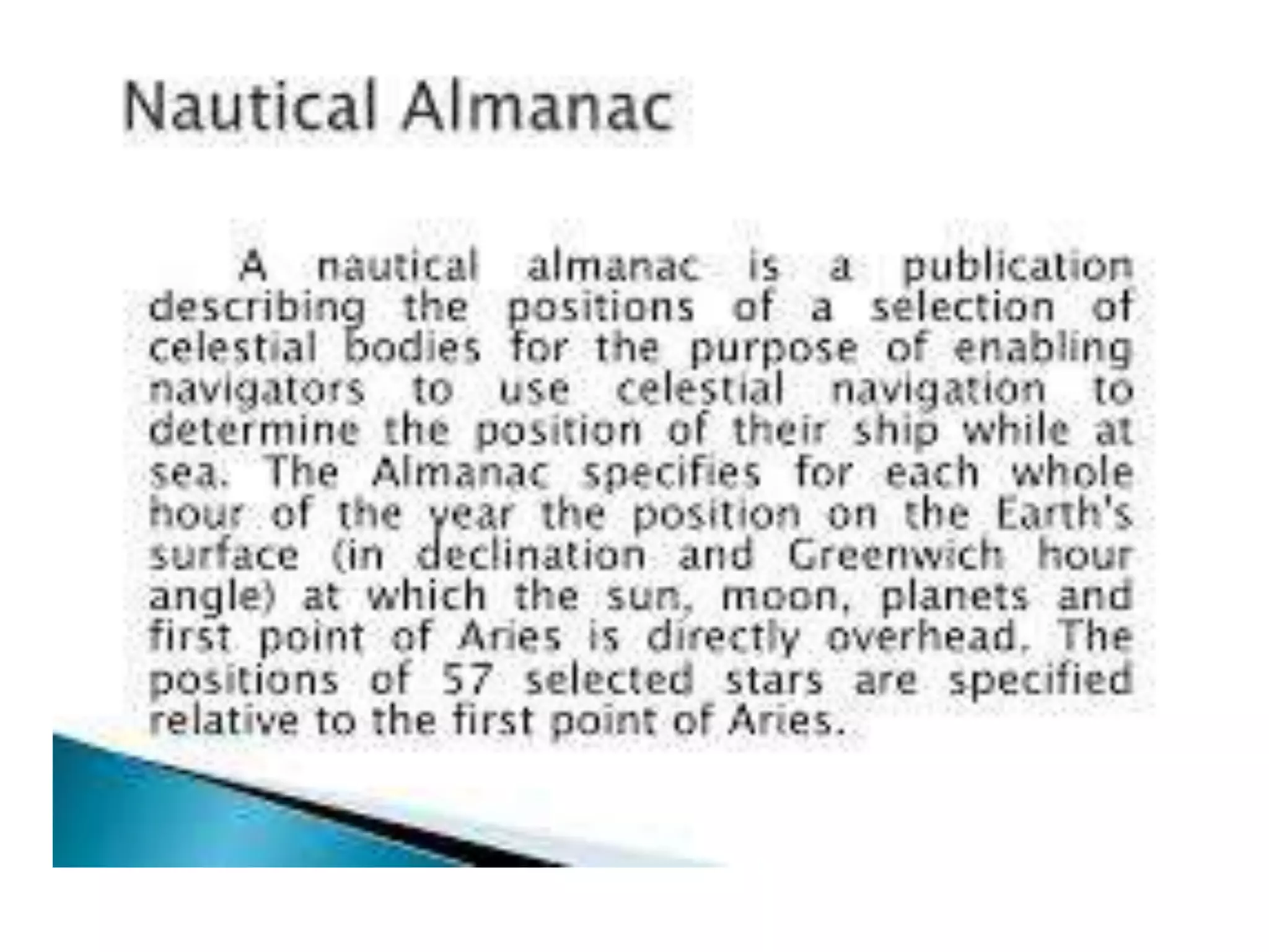


A time diagram is a diagram on the plane of the celestial equator that shows the celestial equator as a circle with celestial meridians and hour circles as radial lines. It is used to solve time problems and other problems involving arcs of the celestial equator or angles at the pole by showing the relationships between quantities like hour angles, longitude, and units of time. On the diagram, the Greenwich meridian is at the top with east longitudes to the right and west longitudes to the left as viewed from the south pole.