Downloaded 24 times

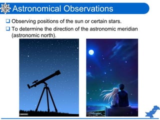
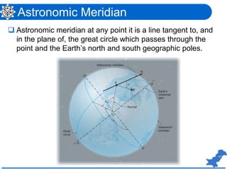

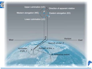
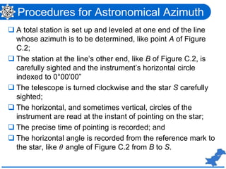
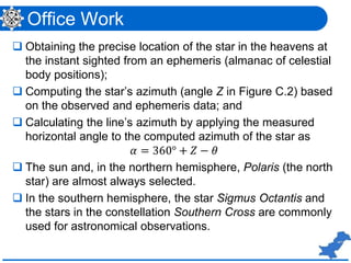


This document discusses theories of errors in astronomical observations used for surveying. It provides definitions and procedures for determining azimuth, latitude, and longitude through astronomical observations of stars and other celestial bodies. While astronomical methods were formerly used for establishing directions and coordinates, they have now been replaced by GNSS surveys which provide coordinates directly from satellite positioning data. The document outlines historical astronomical techniques and their replacements by modern survey methods.