Download as PDF, PPTX
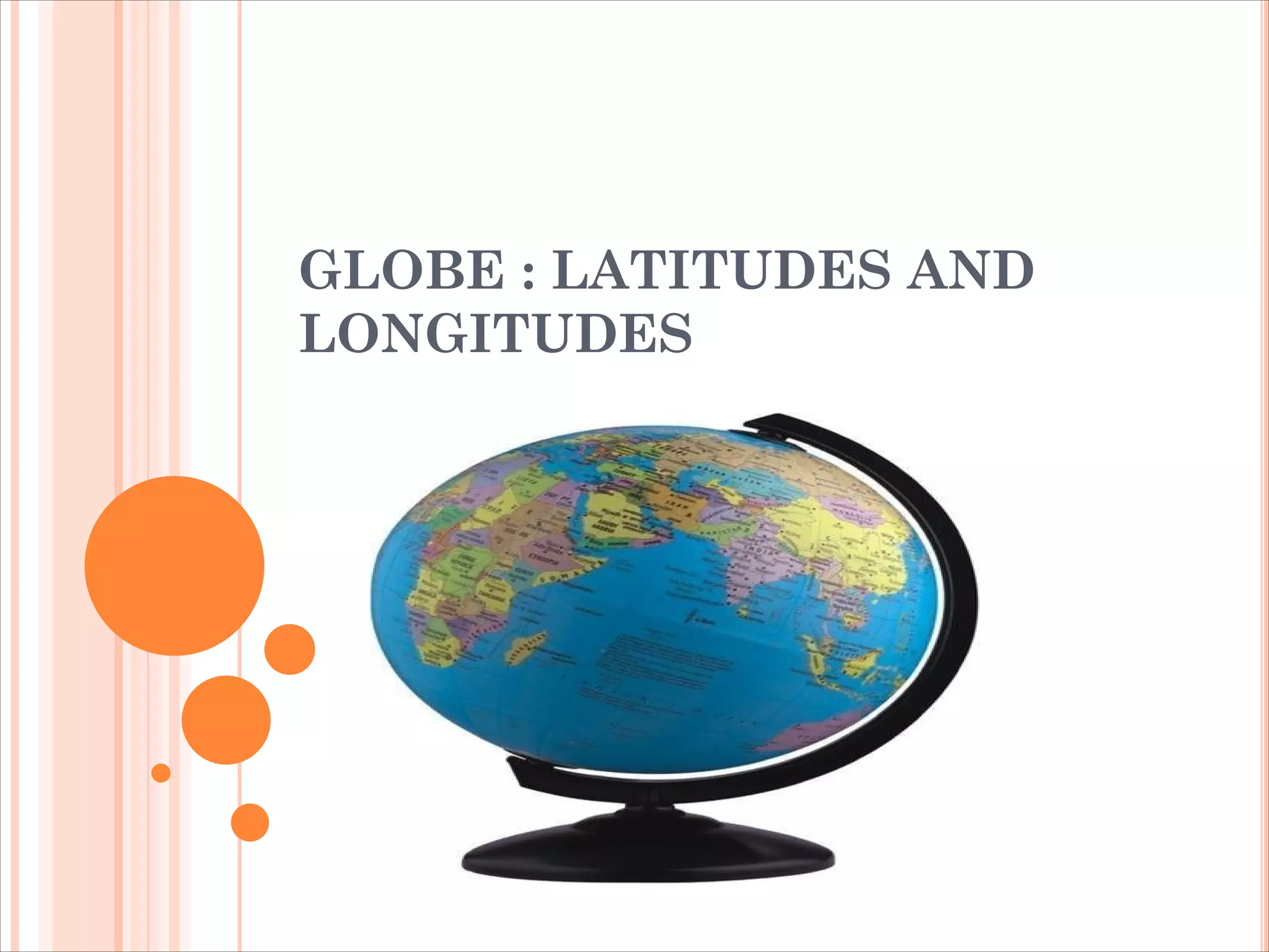
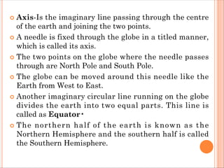
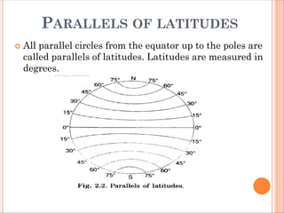

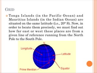

A globe is a three-dimensional model of the Earth, showing countries, continents, and oceans accurately scaled, with an axis representing the North and South Poles. Latitude and longitude lines help define locations on the globe, with parallels of latitude and meridians of longitude forming a grid system. The document also discusses the Earth's heat zones and timekeeping based on the movement of the Earth and its division into hemispheres.


![Latitudes and Longitudes [Autosaved].pptx](https://cdn.slidesharecdn.com/ss_thumbnails/latitudesandlongitudesautosaved-221031193426-8f2f0591-thumbnail.jpg?width=640&height=640&fit=bounds)


