Download as PDF, PPTX


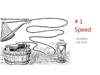
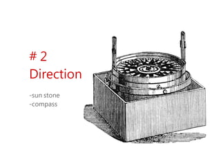
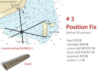
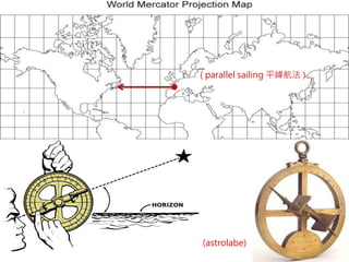
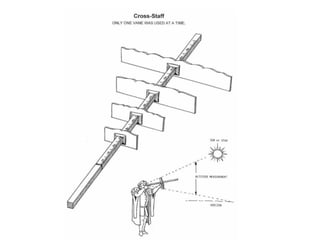
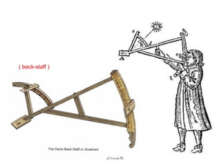
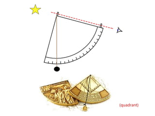


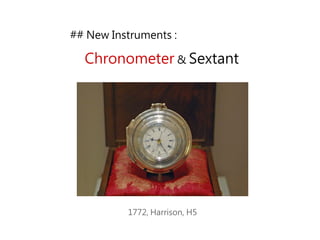
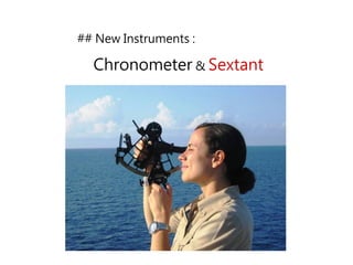
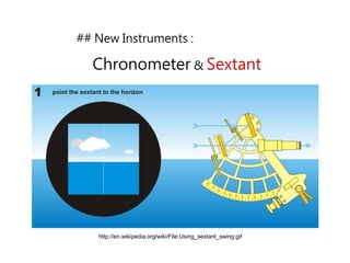

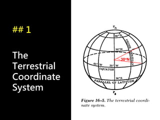
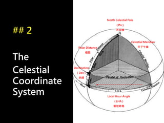
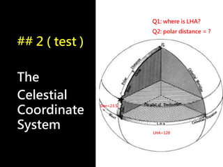
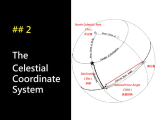
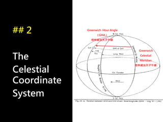
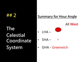
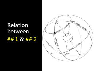
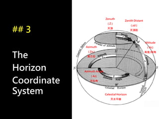
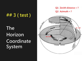
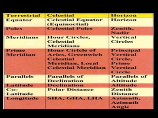

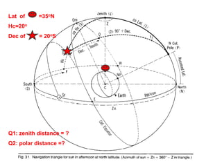

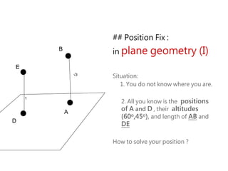
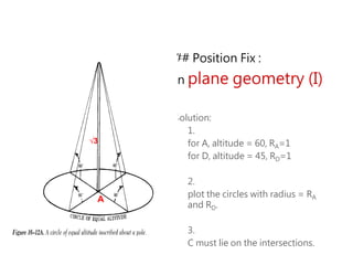
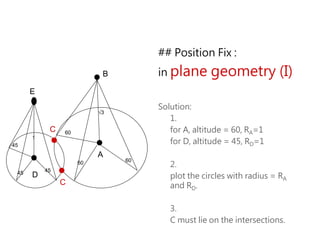
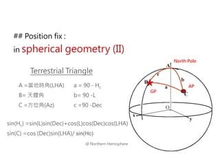
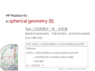


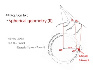
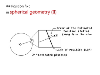
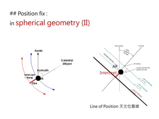
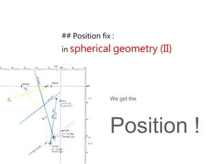
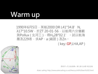
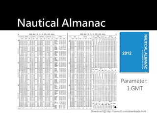
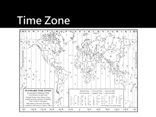
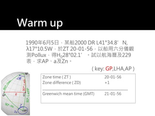
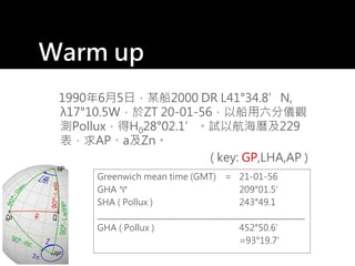
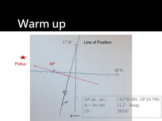
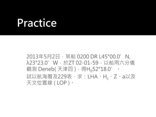
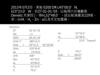


1) The document discusses celestial navigation techniques, including methods for determining speed, direction, and position using various historical instruments. 2) Key instruments mentioned include the sandglass, log, compass, lead, astrolabe, cross-staff, back-staff, quadrant, octant, chronometer and sextant. 3) The document also covers the three coordinate systems used in celestial navigation: terrestrial, celestial, and horizon. It provides examples of how sights are reduced using the Nautical Almanac and tables to determine position.