Download as PDF, PPTX
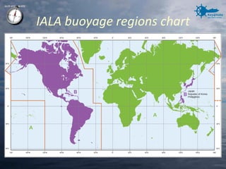
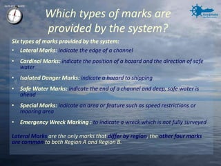
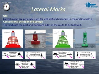
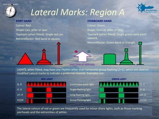
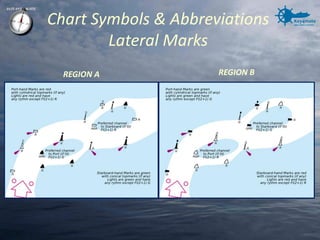

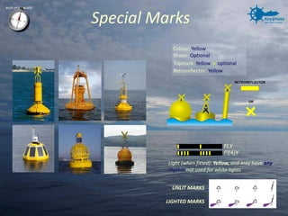
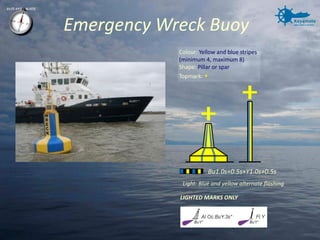
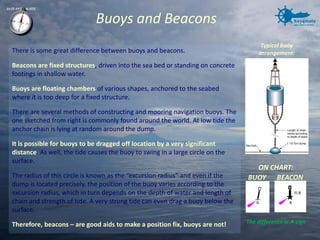
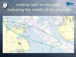
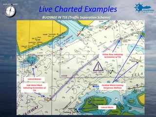


The document summarizes the International Association of Lighthouse Authorities (IALA) buoyage system and visual aids to navigation. The system provides six types of marks to indicate navigational features: lateral marks for channel edges, cardinal marks for hazards, isolated danger marks, safe water marks, special marks, and emergency wreck marking. Lateral marks are the only ones that differ between regions A and B. Region A uses red buoys with red tops for port sides and green buoys with green cone tops for starboard sides. Other types of marks include safe water marks with red and white stripes, special purpose yellow buoys, and emergency wreck marks with blue and yellow flashing lights.