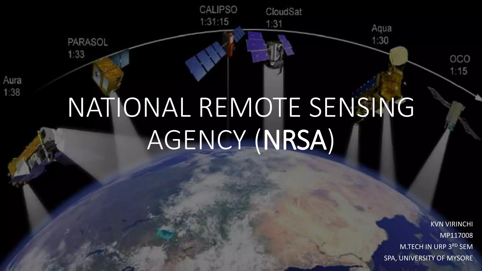
National Remote Sensing Agency (NRSA) was established as a registered society on 2nd September 1974 by Department of Science & Technology, based on a Union Cabinet approval dated December 13, 1973.
NRSA was transferred from DST to new created Department of Space in 1980 as an autonomous centre. Indian Photo-interpretation Institute was renamed as Indian Institute of Remote Sensing in 1983.
On 1st November 1995, the UN affliliated Centre for Space Science and Technology Education in Asia and the Pacific (CSSTE-AP) was created and hosted at Indian Institute of Remote Sensing (IIRS), Dehradun. On September 1, 2008 NRSA was converted from a autonomous organisation to a fully Government organisation under ISRO and renamed National Remote Sensing Centre (NRSC).
4. National Remote Sensing Agency (NRSA)
• National Remote Sensing Agency (NRSA) was established as
a registered society on 2nd September 1974 by Department
of Science & Technology, based on a Union Cabinet approval
dated December 13, 1973.
• NRSA was transferred from DST to new created Department
of Space in 1980 as an autonomous centre. Indian Photo-
interpretation Institute was renamed as Indian Institute of
Remote Sensing in 1983.
• On 1st November 1995, the UN affliliated Centre for Space
Science and Technology Education in Asia and the Pacific
(CSSTE-AP) was created and hosted at Indian Institute of
Remote Sensing (IIRS), Dehradun. On September 1, 2008
NRSA was converted from a autonomous organisation to a
fully Government organisation under ISRO and renamed
National Remote Sensing Centre (NRSC).
5. Activities
National Remote Sensing Centre (NRSC) is an important segment of ISRO with
the mandate of
• Providing Earth observation (EO) Data from space and aerial platforms
• Develop technologies & applications for Natural Resources Management
• To Provide support for monitoring and Management of Disaster
• Capacity building for utilization of EO data
The Activities of the Centre includes:
• Planning, Acquisition, Processing and Dissemination of satellite data from
various Indian & foreign satellites
• Extending services to set up ground stations and processing facilities
• Carrying out Aerial Surveys and Large Scaling Mapping applications
• Providing Geospatial solutions to users
• Extending a 24X7 service to support disaster monitoring and management
• Outreach through training, workshops, student projects & promotional
activities related to remote sensing applications at regional and national
level
6. Remote Sensing
Applications
• The remote sensing application programme at
NRSA is focused on utilizing the technology of
remote sensing to fulfill the larger goals of the
country towards food security, water security,
environment security, energy security and
support during disasters.
Disaster Management Support
• Decision Support Centre (DSC) for Disaster
Management
• Flood Studies
• Flood hazard zonation mapping
• Drought Monitoring
7. Remote Sensing
Applications
• Forest Fire Management
• Earthquake damage assessment
• Earthquake Risk Assessment
National Database for Emergency Management (NDEM)
• The National Database for Emergency Management
(NDEM), an initiative of Ministry of Home Affairs (MHA)
and a multi-institutional endeavor, envisages generating
and organising multi-level, multi-scale geospatial data to
facilitate emergency management for the entire country
on 1:50000 scale, for 169 multi-hazard prone districts on
1:10000 scale and for 5 mega cities on 1:2000 scale.
NRSA, the nodal agency to establish NDEM, identified the
core and hazard-specific datasets, and prepared a
detailed technical document for organization of NDEM.
8. Towards Food Security
• Land use/land cover mapping
• Wasteland Information System (WALIS)
• National Wastelands Inventory and Updation
• Crop Acreage and Production Estimation
(CAPE)
• Estimation of regional level cotton yield
(Technology Mission on Cotton)
• Village soil resource appraisal and land
utilization plan
9. Towards Water Security
• Rajiv Gandhi National Drinking Water Mission
• Snowmelt runoff forecast
• Satellite-based assessment of snow-fed and rainfed catchment areas
• Flood threat from snowmelt in Kashmir valley
• Assessment of Irrigation Potential
Towards Environment Security
• Power transmission route alignment
• Identification of hazardous waste dump sites
• Saltwater intrusion into coastal aquifer in low-lying coastal mudflats (IIRS-ITC)
10. Ocean related
studies
• Seasonal and inter-annual
variation of surface chlorophyll
in Bay of Bengal
• Cyclone induced productivity in
the Bay of Bengal
Municipal GIS
Electrical utility network mapping
using GIS and GPS techniques
11. Floods in Northern Andhra
and Southern Odisha,
October 2018
• The first week of October witnessed the formation of a deep
depression in the Bay of Bengal , which later transformed into category
2 cyclone called Titli.
• National Remote Sensing Centre (NRSC), Hyderabad, analyzed Radarsat
2 satellite data of 12th October, 2018.
TITLI CYCLONE
14. WHO CAN BUY IRS DATA
IRS data will be made available to
all users for various developmental
and application.
All data of resolutions up to 5.8 m
shall be distributed on a
nondiscriminatory basis and on “as
requested basis”
Data of 5.8m and up to 1m
resolution can be distributed to
users after screening and ensuring
the sensitive areas are excluded.n
requirements as per RSDP policy.
Data of 1m resolution and better
will be supplied as per RSDP policy.
Government users can obtain the
data without any further clearance