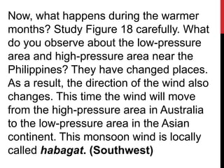
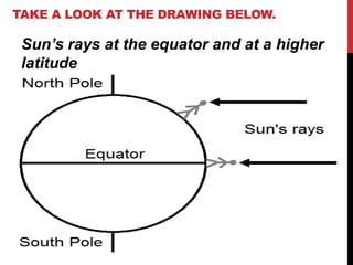
Downloaded 1,527 times


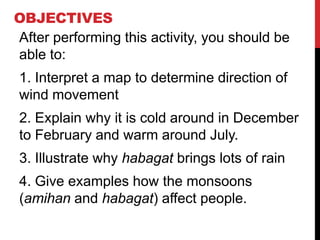
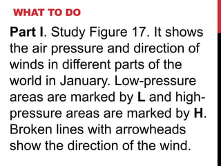


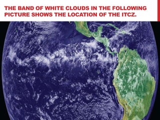

This document discusses monsoons and wind patterns in the Philippines. It begins by explaining the objectives, which are to interpret maps of wind direction, explain seasonal temperature changes, illustrate why the habagat wind brings heavy rain, and discuss how monsoons affect people. It then provides figures showing wind direction in January and July, explaining that low pressures in January cause the amihan northeast winds while low pressures in Australia cause the habagat southwest winds in July. The document concludes by discussing how the Intertropical Convergence Zone (ITCZ) causes rising warm air at the equator, resulting in converging winds and rain storms.