Downloaded 202 times


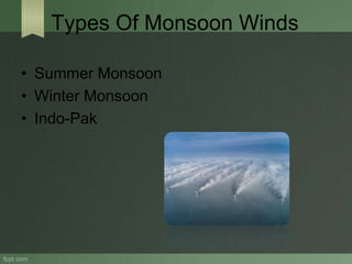
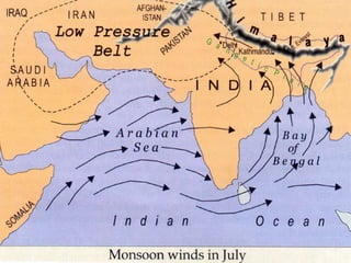
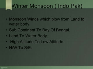
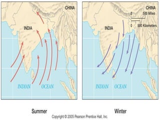
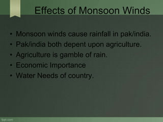

Monsoon winds are an interchange of air caused by the unequal heating of land and oceans, which play a crucial role in precipitation. There are two main types of monsoon winds: summer monsoon, which brings moisture from the ocean to land, and winter monsoon, which moves from land to the ocean. These winds significantly impact agriculture and the economy in regions like Pakistan and India, where rainfall is essential for farming.