Downloaded 210 times
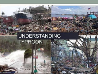

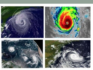

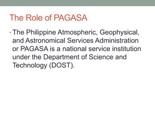
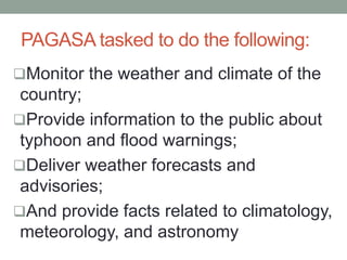
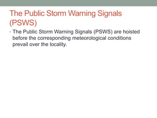

The document outlines the layers of the atmosphere and discusses the formation and characteristics of tropical cyclones, including their development stages and classification. It also details why certain regions, like the Philippines, are prone to typhoons, the role of PAGASA in monitoring weather, and the technologies used for weather forecasting. Additionally, it highlights the damaging effects of typhoons, such as heavy rainfall, strong winds, and storm surges.


