Downloaded 12 times

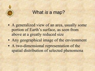
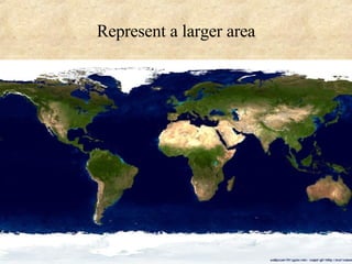
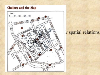

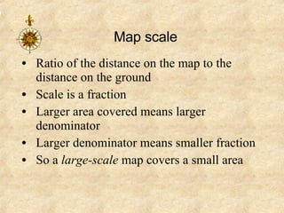
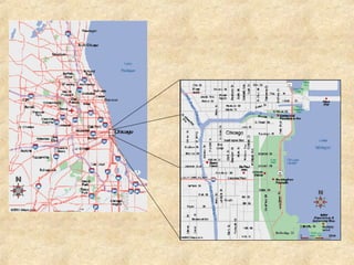
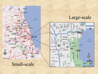
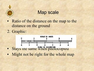
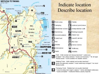
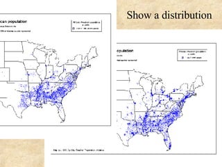
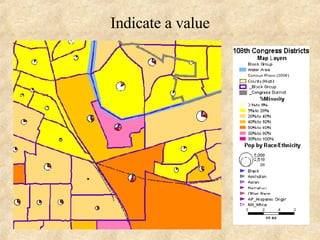
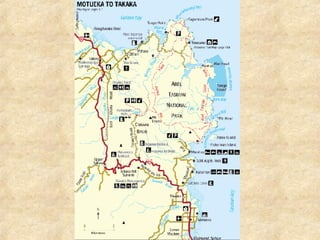
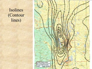
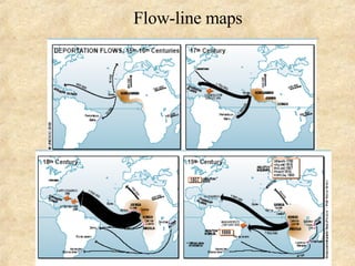
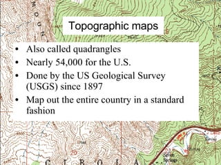
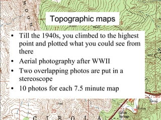
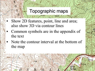
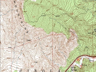

This document provides an introduction to maps, including what maps are, why they are made, and how to read them. It discusses that maps are generalized views of areas seen from above that represent spatial relationships in a concise manner. It also covers map scales, symbols, projections, and how topographic maps specifically show both 2D and 3D features through the use of contour lines.


