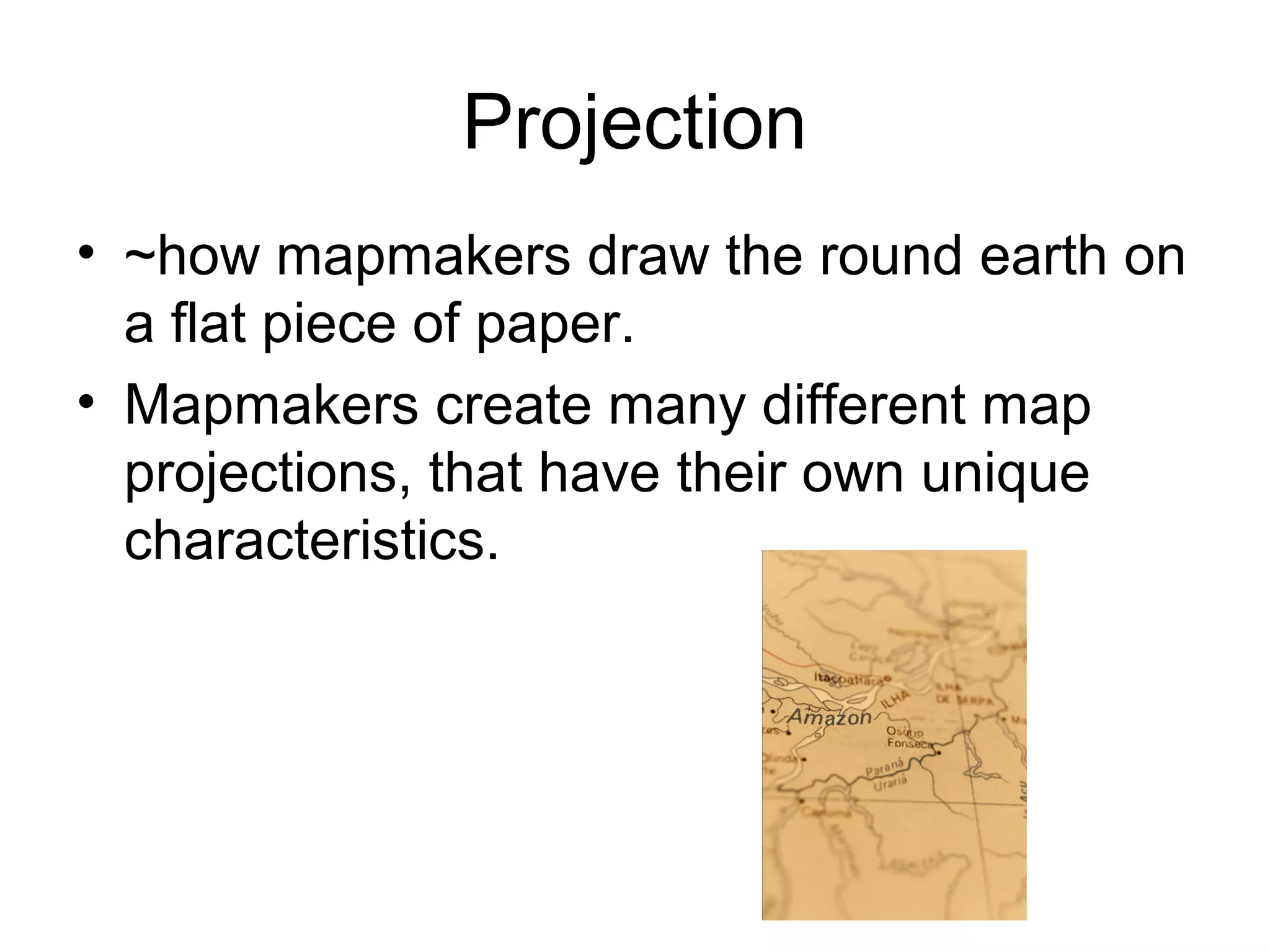
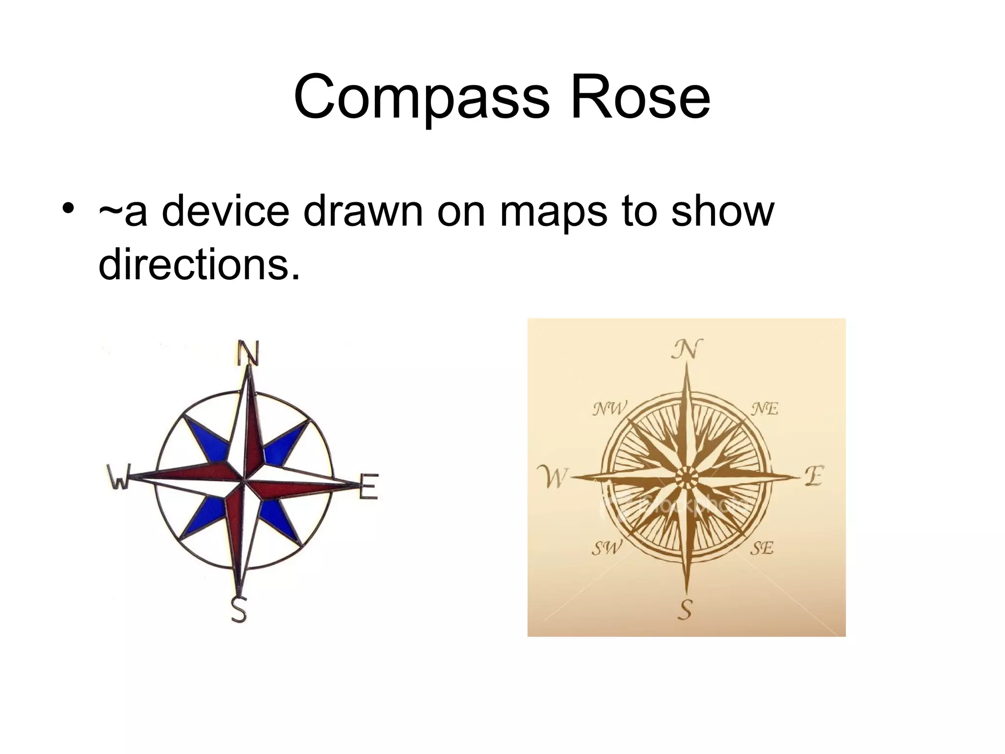
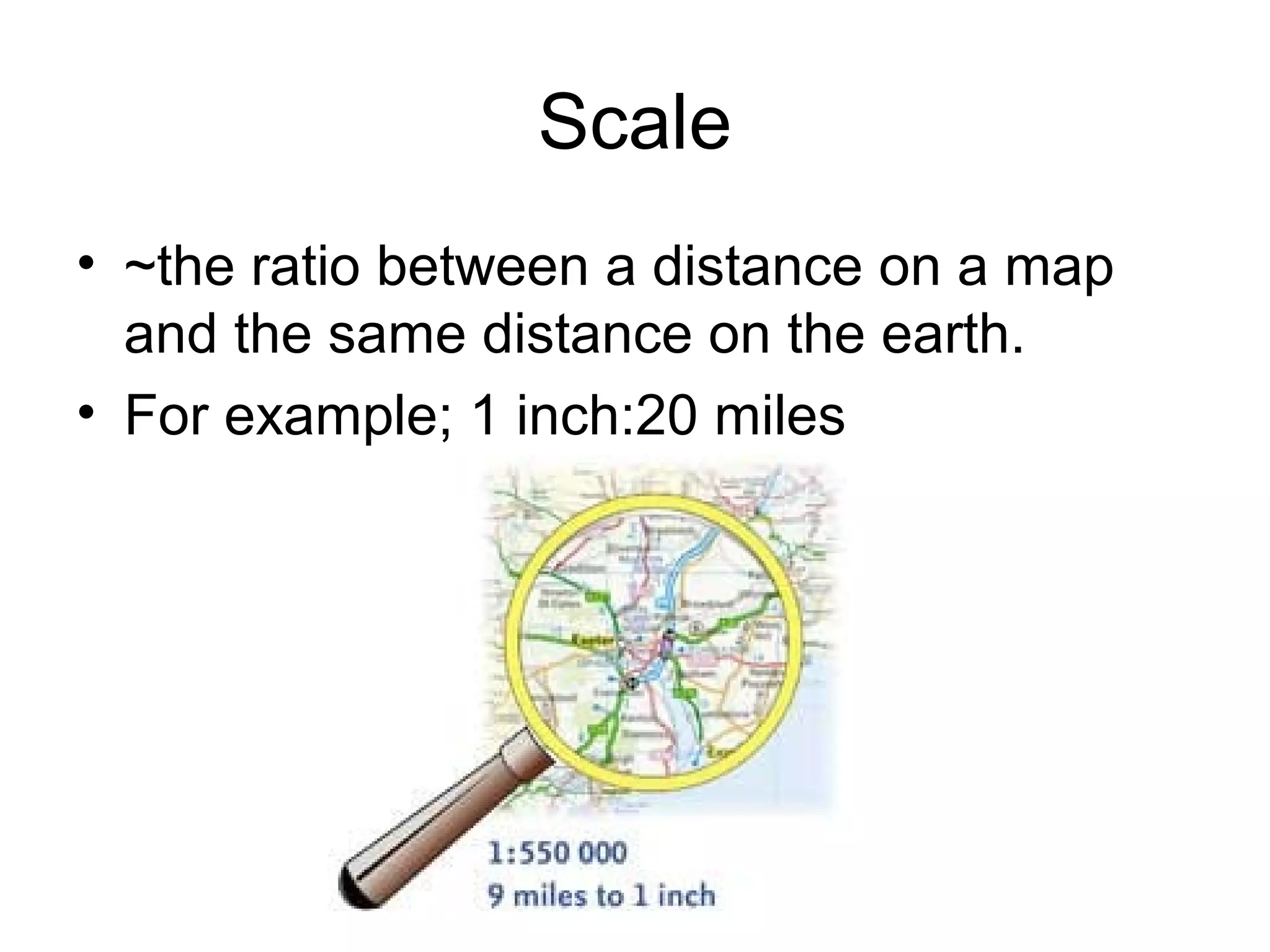
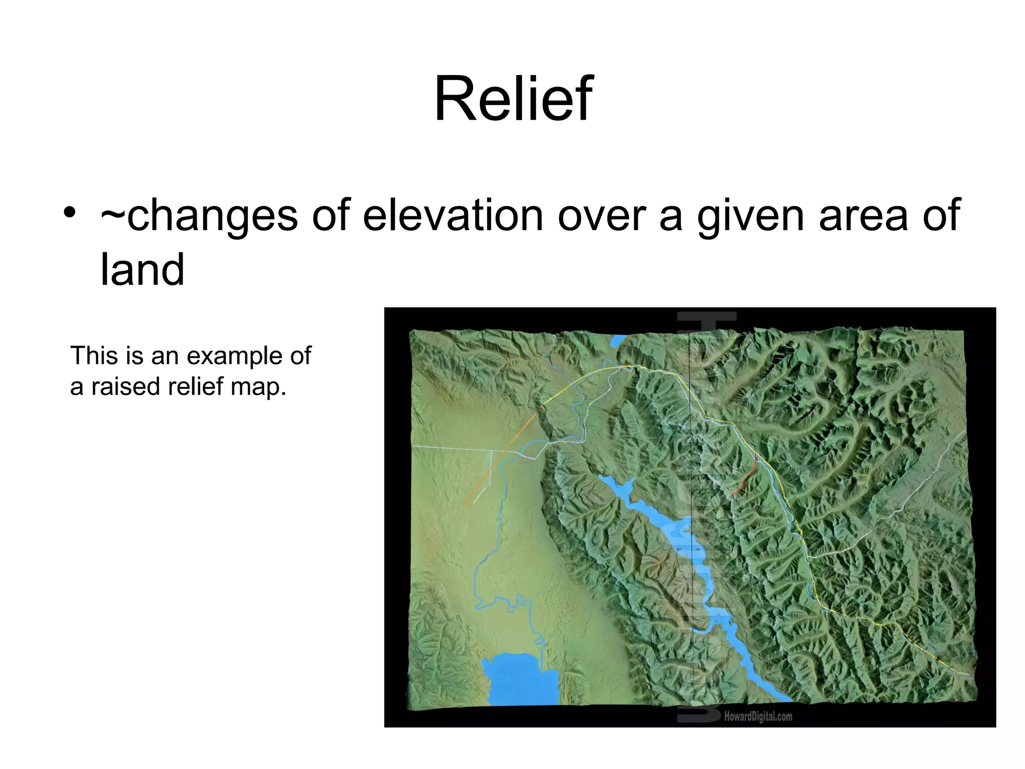
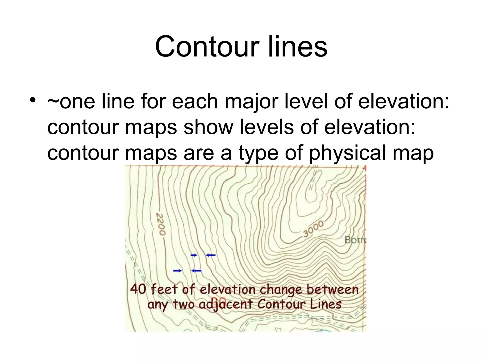
3. Hemisphere
• ~one-half of the globe
• The Equator divides the Northern and
Southern hemispheres.
• The Prime Meridian divides the Eastern
and Western hemispheres.
4. Latitude
• ~locations north or south of the Equator
measured by imaginary lines.
• The Equator is at 0 degrees latitude; an
imaginary line that separates the northern
and southern hemispheres.
5. Longitude
• ~locations east or west of the Prime
Meridian, measured by imaginary lines.
• The Prime Meridian lies at 0 degrees
longitude.
6. Grid System
• ~the checkered board pattern on a map
that is created by crossing lines of latitude
and longitude.
• This grid system helps you find the
absolute location of a place.
7. Absolute Location
• ~the specific location of a place; the
longitude & latitude of a location or the
specific address of a location.
• For example;
MMS Currituck County
216 Survey Road 36.36 degrees N,
Moyock, NC 27958 75.94 degrees W
8. Projection
• ~how mapmakers draw the round earth on
a flat piece of paper.
• Mapmakers create many different map
projections, that have their own unique
characteristics.
9. Map Key
• ~ a code that explains lines, symbols, and
colors used on a map.
10. GIS
• ~a computer software program that
mapmakers use that can help them make
and change maps more quickly and easily
than before.
• G-geographic I-information S-systems
11. Cardinal Directions
• ~ basic directions on a compass rose.
• N (north), E (east), S (south), W (west)
This compass rose only shows cardinal directions.
13. Intermediate Directions
• ~any direction between the cardinal
directions.
• For example, NE (northeast) is between
north and east.
This example shows both cardinal and intermediate directions.
14. Scale bar
• ~a measuring line on a map that helps you
determine distances on a map.
15. Scale
• ~the ratio between a distance on a map
and the same distance on the earth.
• For example; 1 inch:20 miles
16. Relief
• ~changes of elevation over a given area of
land
This is an example of
a raised relief map.