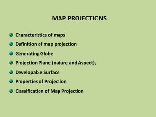
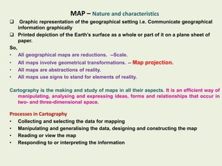
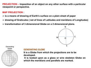
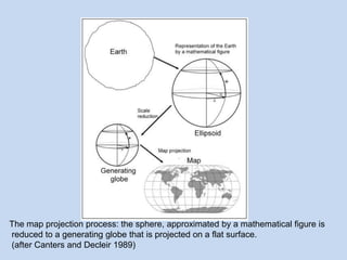
This document defines map projections and their basic concepts. It discusses that map projections are a means of representing the earth's spherical surface on a flat plane. The key aspects covered are:
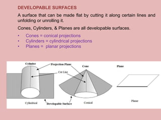
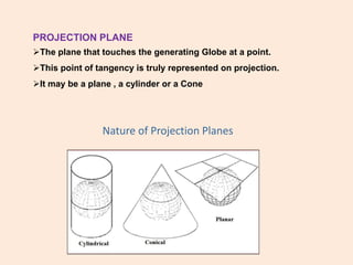
- Map projections transform the 3D globe onto a 2D surface through techniques like developing surfaces (cones, cylinders, planes) and projection planes.
- Properties of map projections include accurate representation of areas, distances, directions, and angles, but no single projection can achieve all properties.
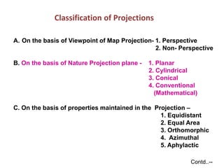
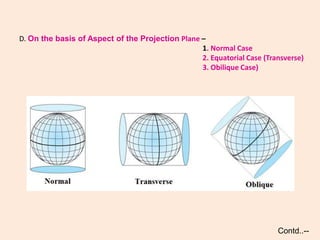
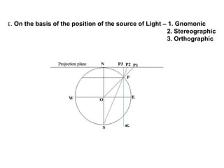
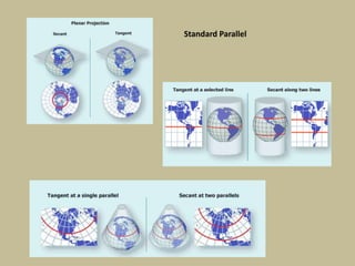
- Common classifications of projections include planar, cylindrical, conical based on the projection surface, and equal area, equidistant based on properties maintained.
- Standard parallels and commonly used projections like UTM, polyconic, Lambert conform


![CTR_ppresentation[1RRRRRRRRRRRRRRRRR].pptx](https://cdn.slidesharecdn.com/ss_thumbnails/ctrppresentation1-250330155714-ac87e8bd-thumbnail.jpg?width=640&height=640&fit=bounds)