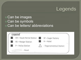
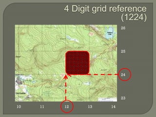
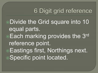
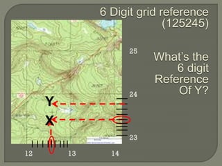
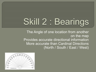
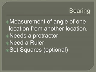
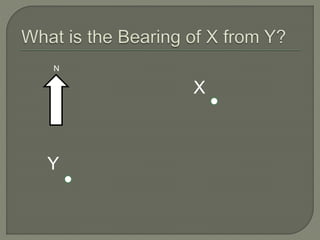
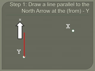
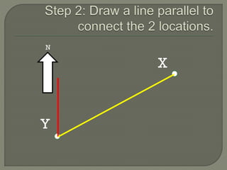
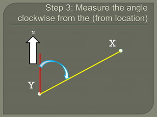
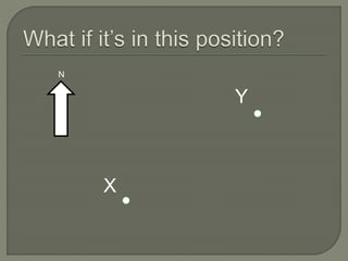
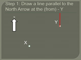
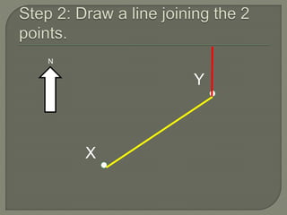
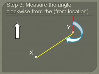
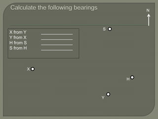
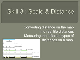
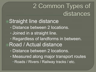
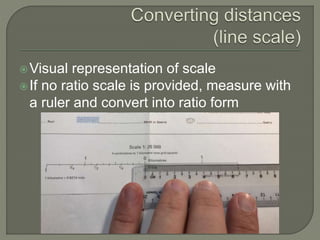
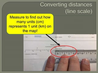
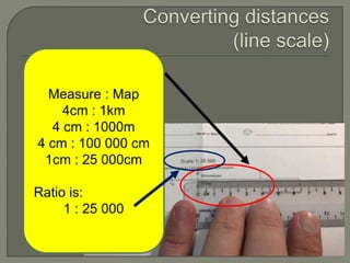
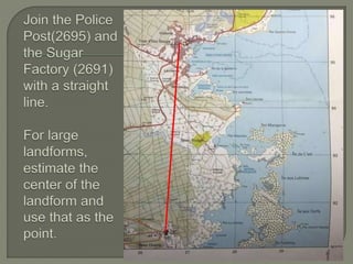
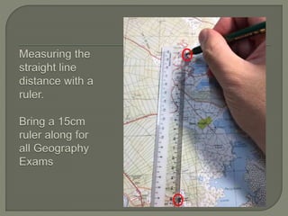
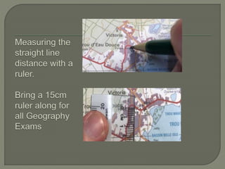
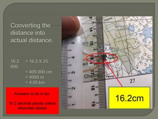
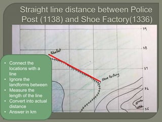
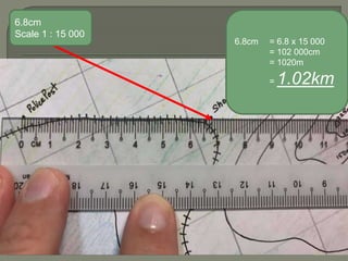
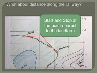
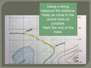
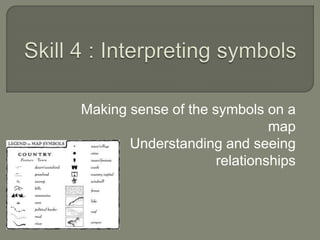
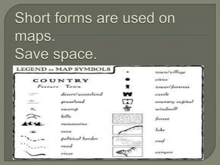
10. 4 DIGIT GRID REFERENCE 6 DIGIT GRID REFERENCE
Refers to a grid
square
Gives general
area
Non-specific
Like your block
number.
Refers to a point
on the map
Gives specific
place
Like your house
unit number.
11. Read the Eastings first
Match the point with the
intersecting Northing.
Square on the top-right of the
location.
13. Divide the Grid square into 10
equal parts.
Each marking provides the 3rd
reference point.
Eastings first, Northings next.
Specific point located.
14. 6 Digit grid reference
(125245)
What’s the
6 digit
Reference
Of Y?
X
Y
15. The Angle of one location from another
on the map
Provides accurate directional information
More accurate than Cardinal Directions
(North / South / East / West)
16. Measurement of angle of one
location from another location.
Needs a protractor
Need a Ruler
Set Squares (optional)
26. Converting distance on the map
into real life distances
Measuring the different types of
distances on a map.
27. Straight line distance
• Distance between 2 locations.
• Joined in a straight line.
• Regardless of landforms in between.
Road / Actual distance
• Distance between 2 locations.
• Measured along major transport routes
Roads / Rivers / Railway tracks / etc.
28. Visual representation of scale
If no ratio scale is provided, measure with
a ruler and convert into ratio form
29. Measure to find out how
many units (cm)
represents 1 unit (km) on
the map!
30. Measure : Map
4cm : 1km
4 cm : 1000m
4 cm : 100 000 cm
1cm : 25 000cm
Ratio is:
1 : 25 000