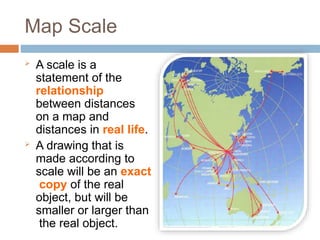
Map Scale
Ascale is a
statement of the
relationship
between distances
on a map and
distances in real life.
A drawing that is
made according to
scale will be an exact
copy of the real
object, but will be
smaller or larger than
the real object.
3.
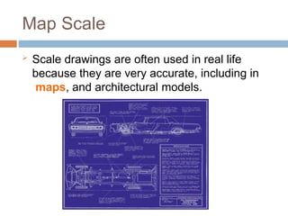
Map Scale
Scaledrawings are often used in real life
because they are very accurate, including in
maps, and architectural models.
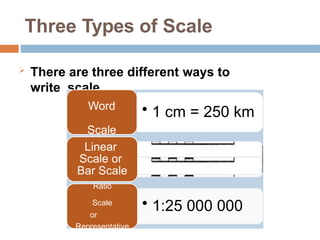
Three Types ofScale
There are three different ways to
write scale.
• 1 cm = 250 km
Word
Scale
• 1:25 000 000
Linear
Scale or
Bar Scale
Ratio
Scale
or
Representative
Fraction Scale
6.
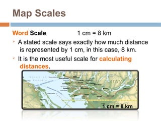
Map Scales
Word Scale1 cm = 8 km
A stated scale says exactly how much distance
is represented by 1 cm, in this case, 8 km.
It is the most useful scale for calculating
distances.
1 cm = 8 km
7.
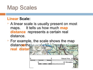
Map Scales
Linear Scale:
A linear scale is usually present on most
maps. It tells us how much map
distance represents a certain real
distance.
For example, the scale shows the map
distance that equals 10 kilometers in
real distan
ce
.
8.
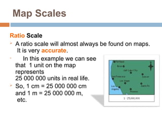
Map Scales
Ratio Scale
A ratio scale will almost always be found on maps.
It is very accurate.
In this example we can see
that 1 unit on the map
represents
25 000 000 units in real life.
So, 1 cm = 25 000 000 cm
and 1 m = 25 000 000 m,
etc.
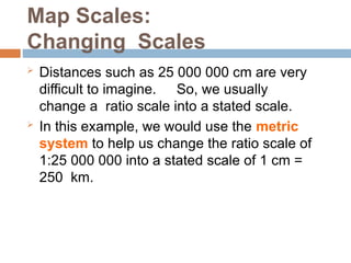
9.
Map Scales:
Changing Scales
Distances such as 25 000 000 cm are very
difficult to imagine. So, we usually
change a ratio scale into a stated scale.
In this example, we would use the metric
system to help us change the ratio scale of
1:25 000 000 into a stated scale of 1 cm =
250 km.
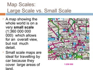
Map Scales:
Large Scalevs. Small Scale
A map showing the
whole world is on a
very small scale
(1:360 000 000
000) which allows
for an overall view,
but not much
detail.
Small scale maps are
ideal for travelling by
car because they
cover large areas of
land.
1:250 000
13.
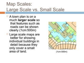
Map Scales:
Large Scalevs. Small Scale
A town plan is on a
much larger scale so
that features such as
roads can be shown
clearly (1cm:500m)
Large scale maps are
better for showing
individual buildings in
detail because they
only cover a small
area of land. (1cm:500m)