Download to read offline


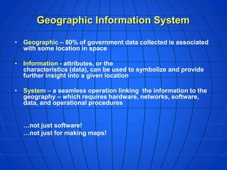
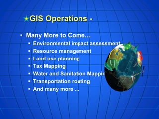


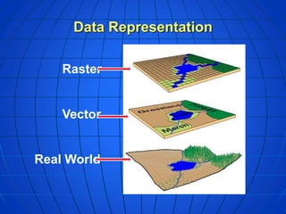
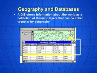


This document provides an overview of geographic information systems (GIS). It defines GIS as a system that links geographic data to locational information. It explains that GIS has both spatial and attribute data and can represent data as vectors or rasters. The document also gives examples of how GIS is used in various applications like environmental assessment, resource management, and transportation routing. It provides a brief description of how GIS works by storing data in thematic layers that can be linked by location. It also outlines some key GIS operations like data capture, geo-referencing, and data representation.


