Download to read offline
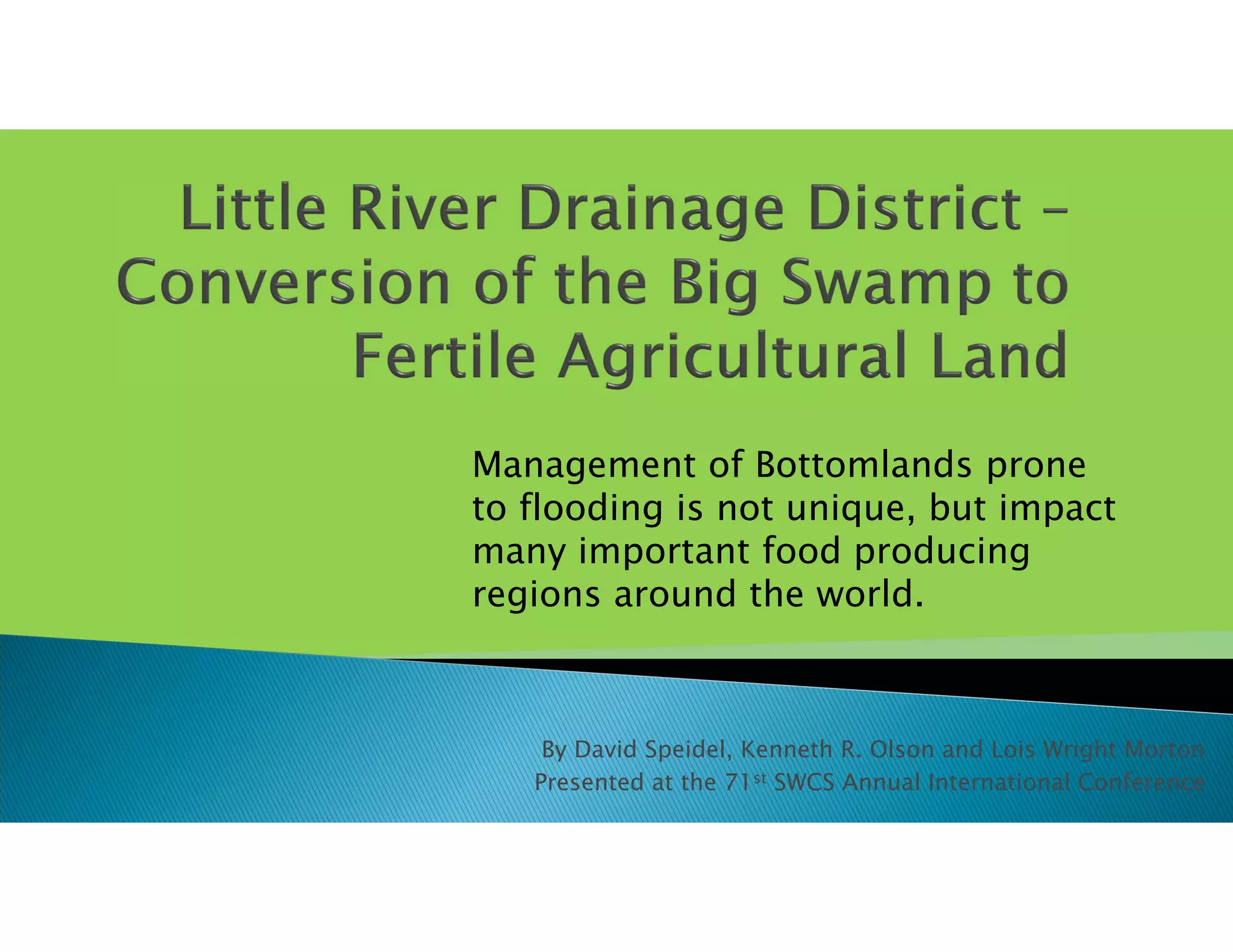
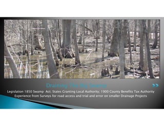
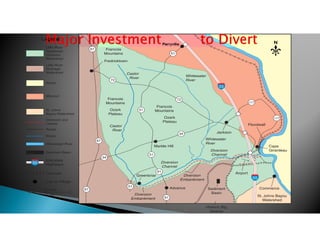
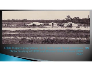
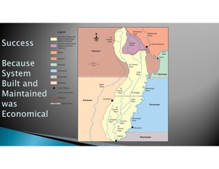

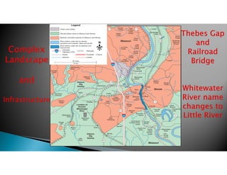


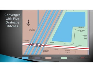
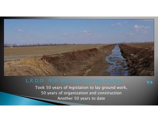


The document discusses the history and impact of drainage projects in the bottomlands region between Missouri and Illinois, known as the Big Swamp. It describes how drainage legislation in the 1850s laid the groundwork, and then over 50 years of organization and construction resulted in the Little River Drainage District (LRDD) system of 956 miles of drainage ditches. This transformed the formerly flooded bottomlands into fertile farmland, improving roads and increasing production of important crops like cotton. The projects were funded through county taxes and provided drainage benefits to participating landowners.