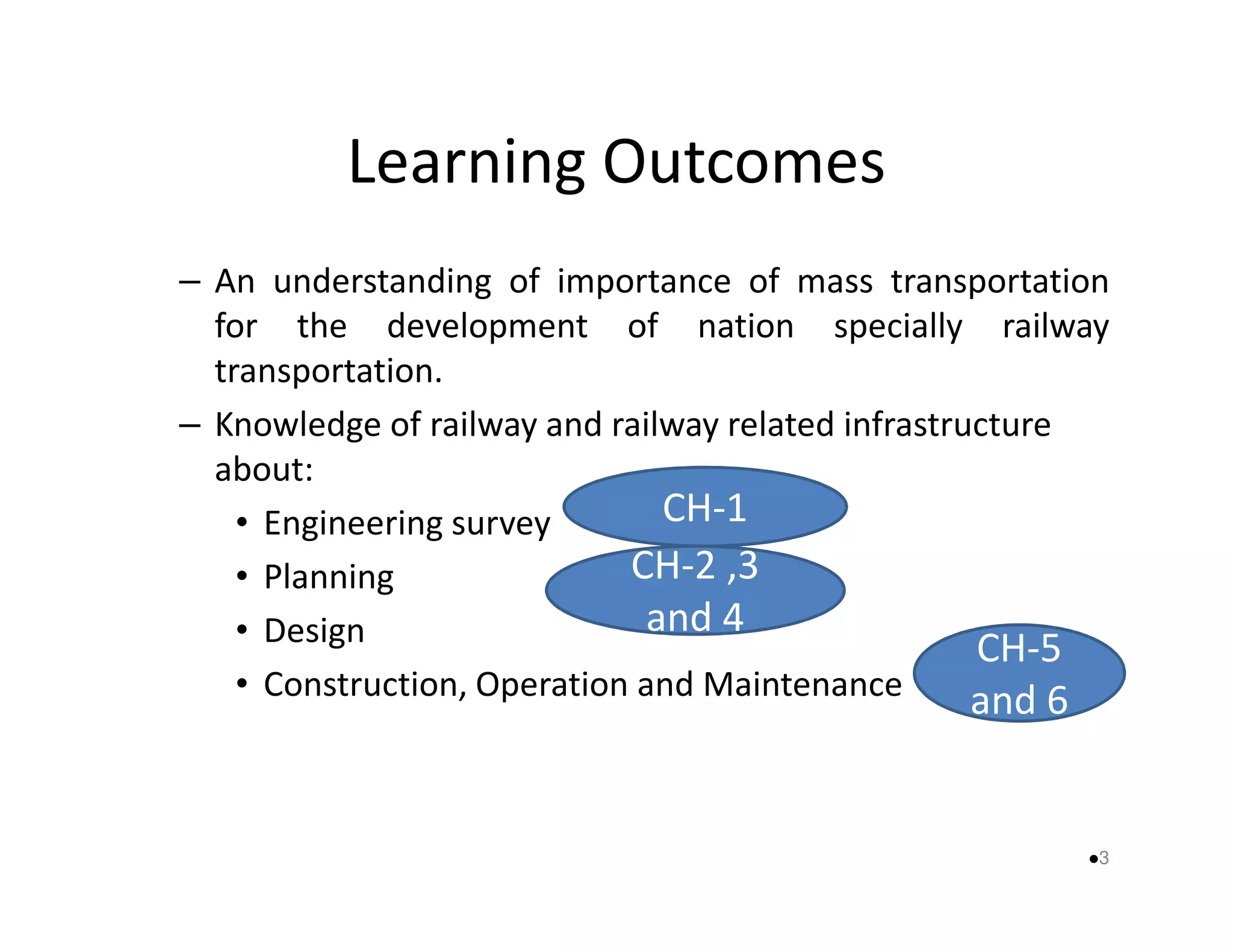
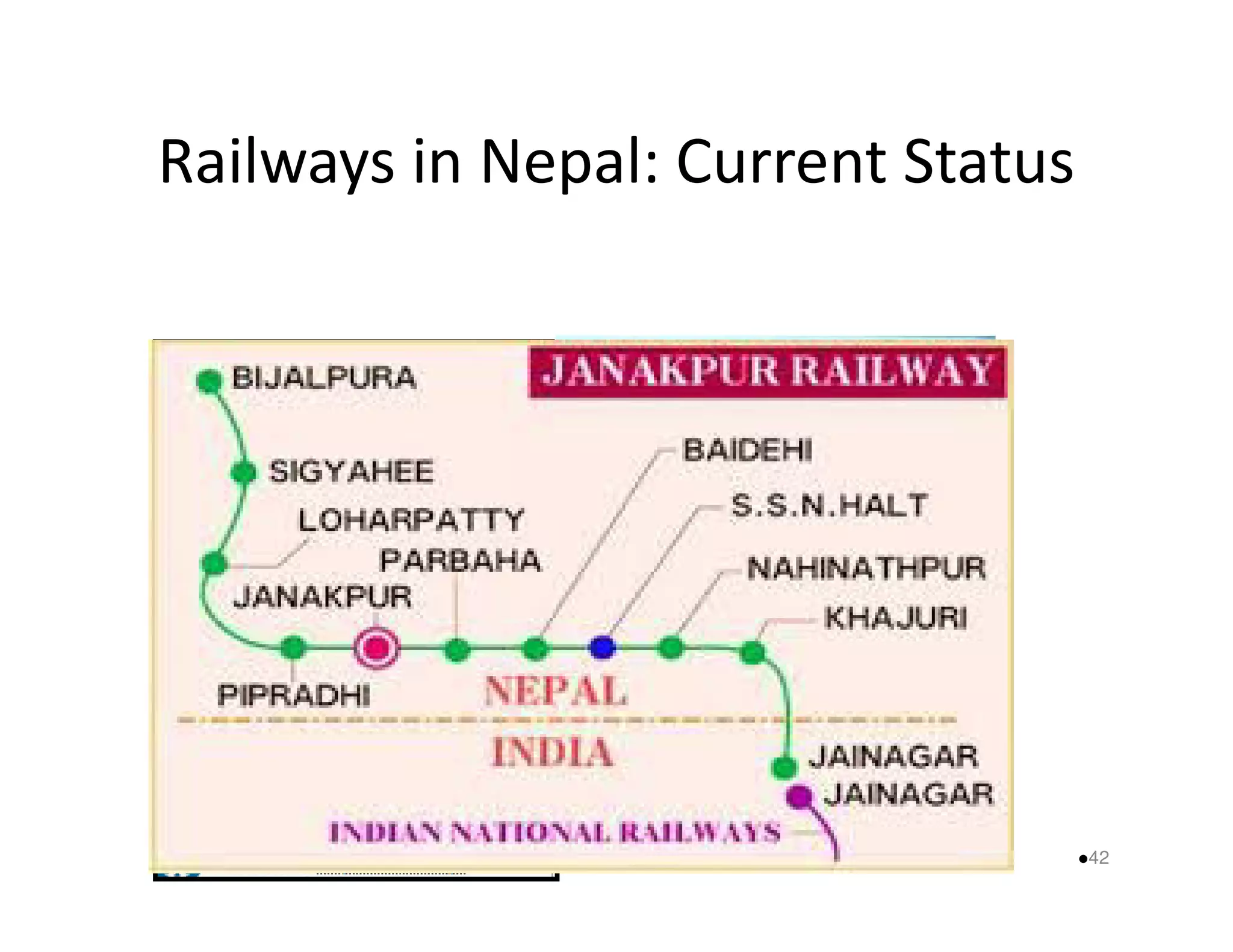
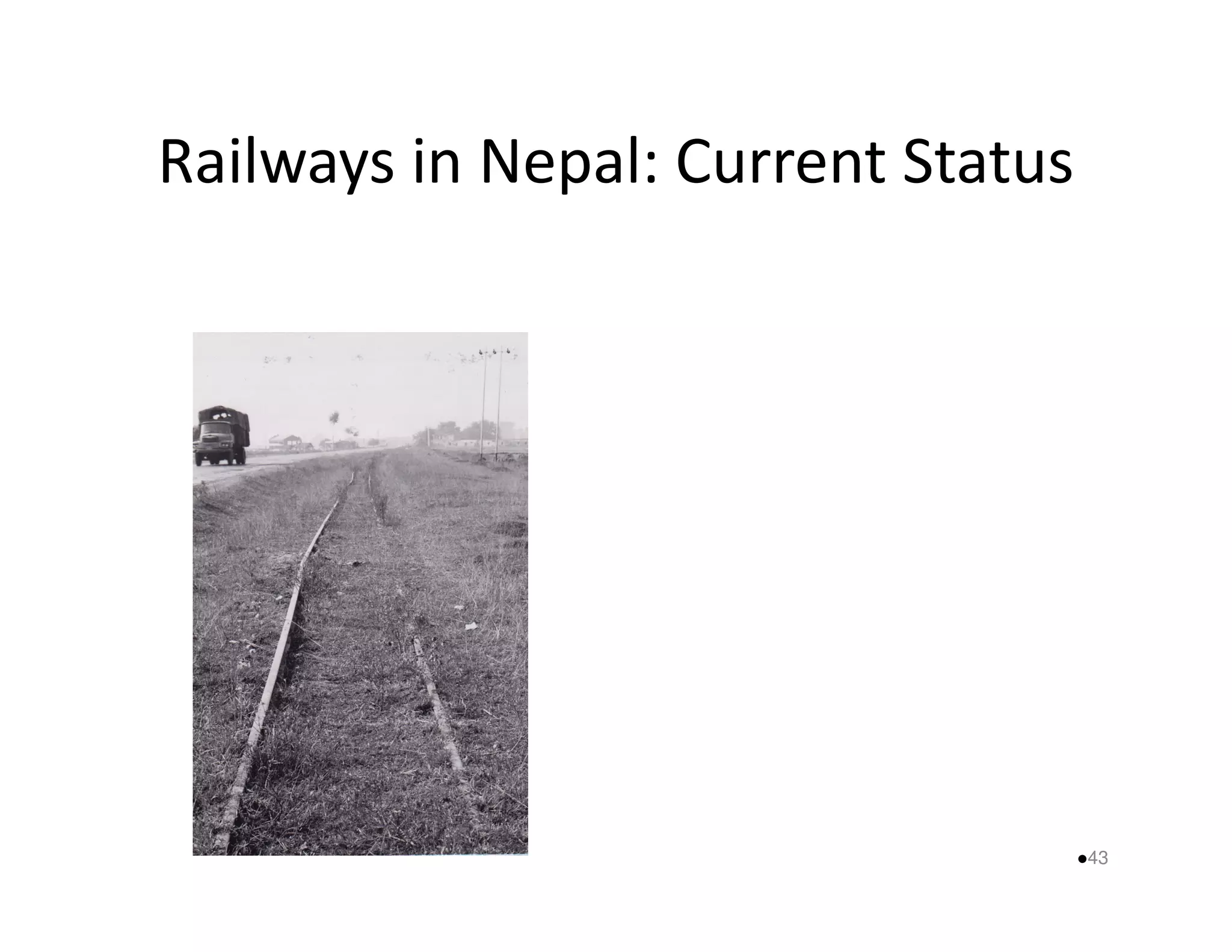
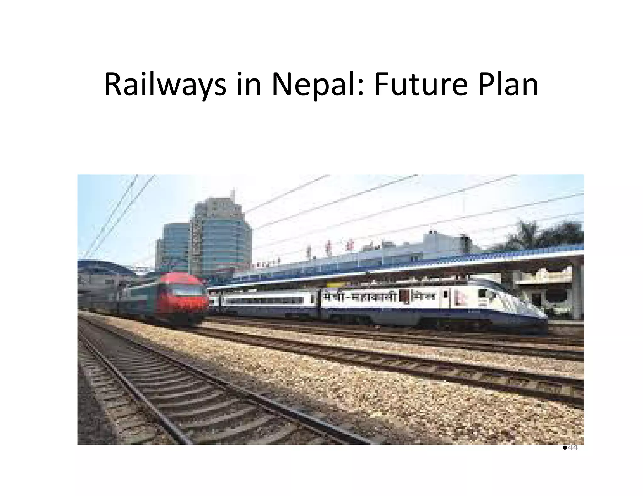
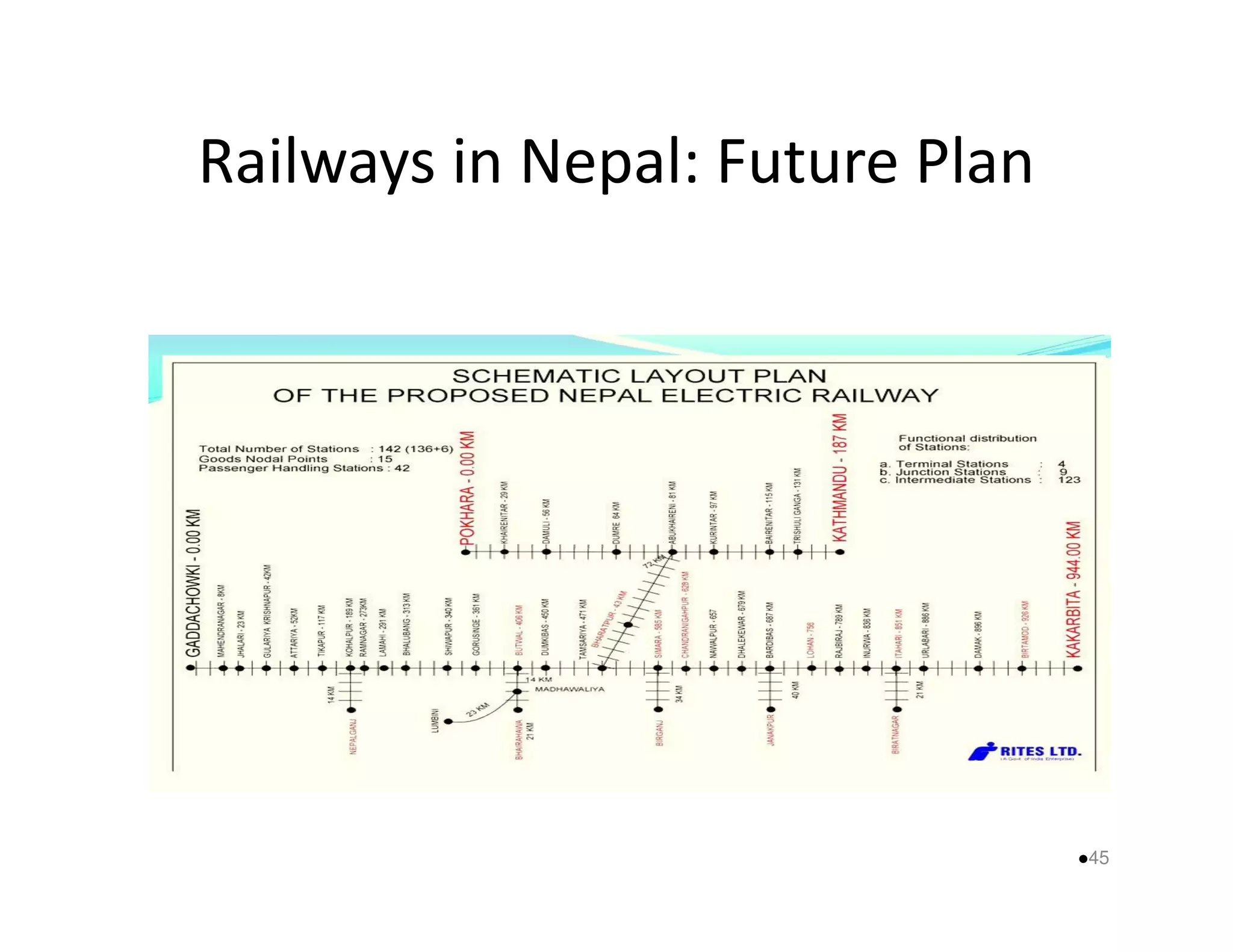
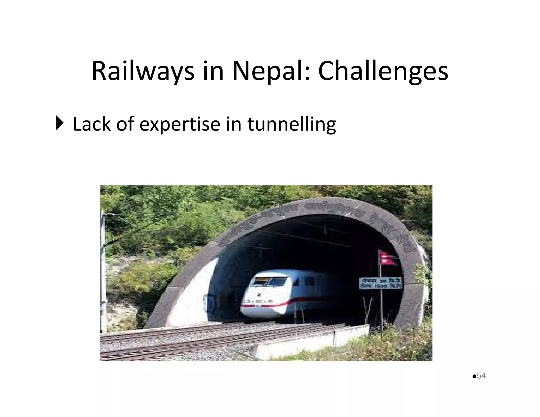
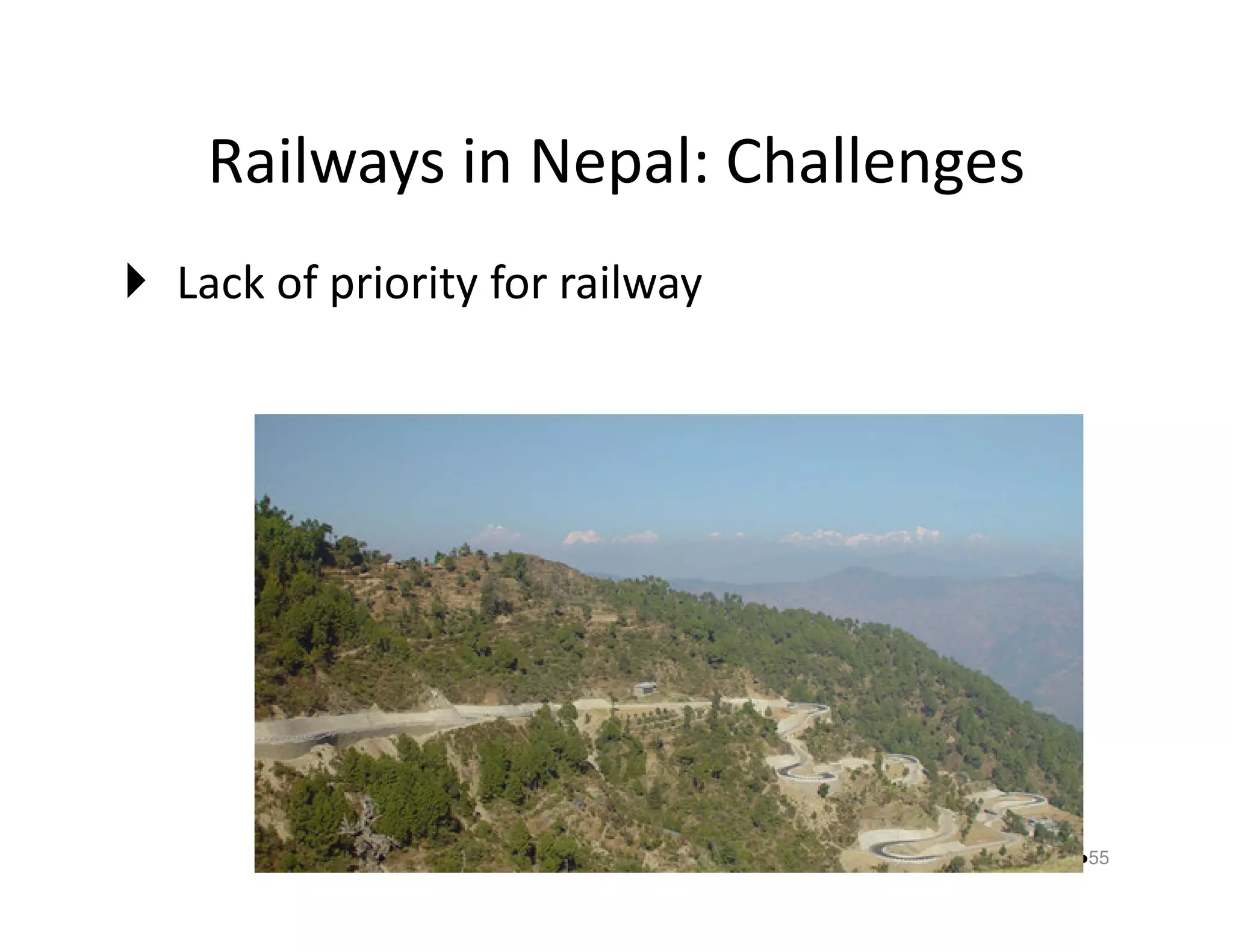
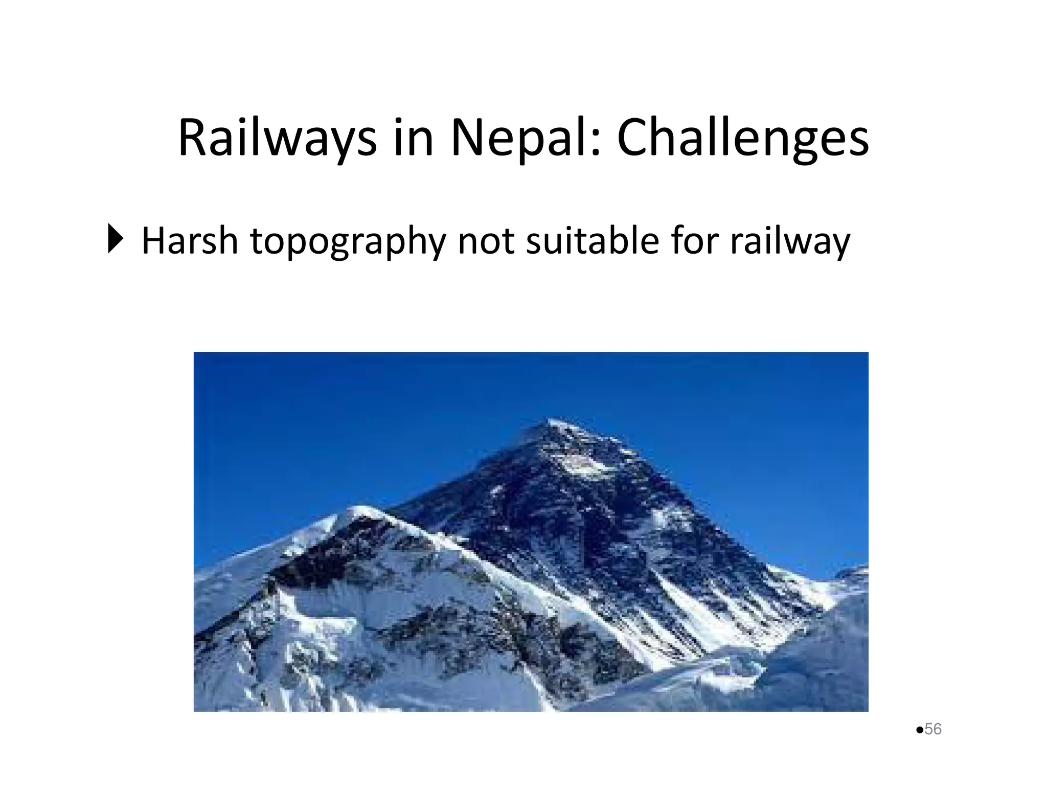
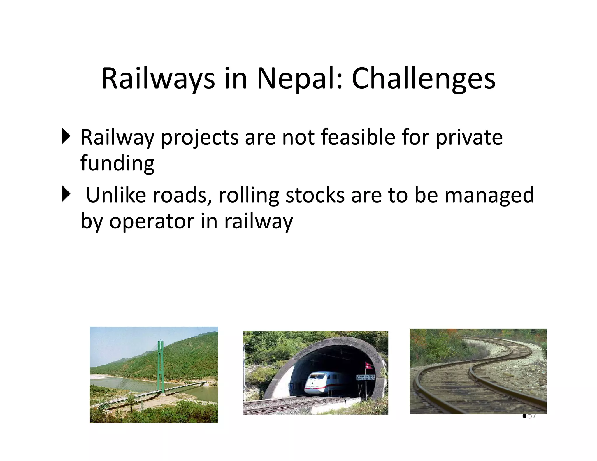
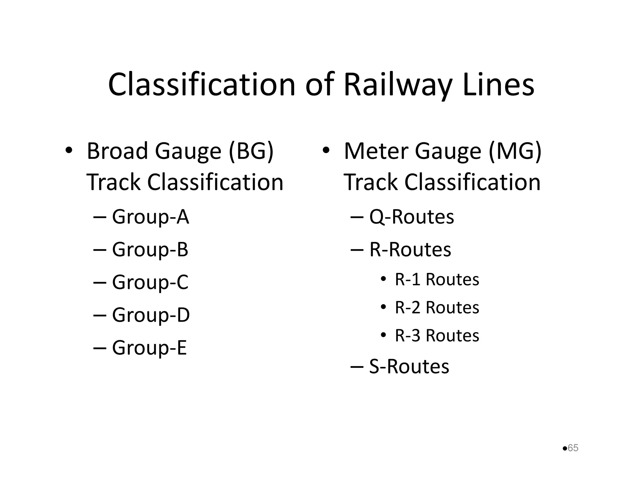
Railway Engineering 
By: B. P. Devkota
Objectives 
• The overall objective of this course is to 
introduce the knowledge about railway 
engineering in planning, design, operation and 
mmaaiinntteennaannccee aassppeeccttss.. 
2
Learning Outcomes 
– An understanding of importance of mass transportation 
for the development of nation specially railway 
transportation. 
– Knowledge of railway and railway related infrastructure 
aabboouutt:: 
• Engineering survey 
• Planning 
• Design 
• Construction, Operation and Maintenance 
3 
CH-1 
CH-2 ,3 
and 4 
CH-5 
and 6
Contents 
1. Introduction (4 hr) 
2. Basic elements and their functions (15 hr) 
3. Geometric design of track (12 hr) 
4. Track drainage (4 hr) 
5. Railway construction, maintenance aanndd ooppeerraattiioonn ((44 hhrr)) 
6. Railway accidents and disaster management (4 hr) 
7. Modernization of railways and high speed rails (2 hr) 
4
References 
• Satish Chanda and M. M. Agrawal (2009), Railway 
Engineering, Oxford University Press, New Delhi. 
• B. L. Gupta and Amit Gupta (2003), Railway Engineering, 
Standard Publishers Distributors, New Delhi. 
• Rangwala (2013), Railway Engineering, CChhaarroottaarr PPuubblliisshhiinngg 
House, India. 
• Clifford F. Bonnett (2005), Practical Railway Engieering (2’nd 
Edition), Imperial Collage Press, London. 
• Railway Curves, Indian Railway Institute of Civil Engineering, 
Pune 411 001, 2010. 
5
CHAPTER-1, INTRODUCTION 
By: B. P. Devkota
Contents 
• Transportation System 
• Historical development of railway 
• Role of railways 
• Classification of railway lines 
• Alignment of railway lines 
• Engineering Survey 
7
Transportation System: Definition 
• Consisting of: 
– Fixed facilities (roadway, bridges) 
– Flow entities (vehicles, trains, planes) 
– Operation plan (route allocation for flow entities) 
– Storage facility ((ppaarrkkiinngg,, ttaaxxiiwwaayy)) 
– Control system (signs, signal) 
• That permit people and goods to overcome the friction of 
geographical spaces 
• In a most efficient, safe and convenient manner 
• In order to achieve time and space utility for desired activity 
8
Transportation System: Importance 
• To derive benefits out of the system with 
respect to: 
– Political and environmental aassppeeccttss 
– Cultural and social aspects 
– Economic aspects 
9
Transportation System: Types 
1) Public or Mass transport system 
– Public busses, railway, BRT, LRT, monorail 
2) Private Transport System 
– Car, jeep, mmoottoorrbbiikkee,, vvaann 
3) Intermediate Transport System 
– Taxi, auto 
4) Combination and Coordination of System 
10
Transport Modes 
Modes 
LLaanndd Water 
Air Others 
Roadway 
Inland 
Ocean 
11 
Inland Water 
Transport 
Railway 
Railway
Historical Development: Global 
• 16th Century: 
– Mines in England used wooden roadways to 
reduce the resistance of mining vehicles 
– The rolling surface was provided wwiitthh aann uupprriissiinngg 
edge in order to keep the vehicles on the track. 
12
Reconstruction of flat 
wooden track for 
transporting silver ore; 
guidance was by a vertical 
pin running between the 
timbers 
Fig-3, Josephistollen (tiefer 
Stollen) des 
mittelalterlichen 
Silberbergwerks Suggental 
13
14
Fig-2, Leitnagel Hund (Mining cart ) 
Contemporary illustration of guided truck used in 16th-century 
mines in Germany 
Early mine wagon (German: Leitnagel Hund) running on wooden 
rails. The vertical pin ran in the slot between the two narrowly 
separated wooden rails 
Fig: Mining Cart 
15
Historical Development: Global 
• 18th Century: 
– In England in 1760, The wooden rails were 
covered with cast iron plates 
16
Fig-4, A section of L-shaped plate rails 
Ref: Wikipedia from a Welsh tramway in the Berlin Technical Museum,, 
17
Historical Development: Global 
• About 1800: 
– Free bearing rails (Outtram) were applied, which 
were supported at the ends by cast iron sockets 
oonn wwooooddeenn sslleeeeppeerrss 
– Flanged iron wheel took care of guiding 
18
19
20 
Fig-5, A long fish bellied rail supported over several chairs 
Ref: Wikipedia, in the Manchester Museum of Science and Industry
21
Historical Development: Global 
• 1804 AD: 
– The first full-scale working railway steam 
locomotive was built by Richard Trevithick in the 
United Kingdom and, on 2211 FFeebbrruuaarryy 11880044.. 
22
Historical Development: Global 
23
Historical Development: Global 
24
Historical Development: Global 
• 1825 AD: 
– The first railway for passengers was opened 
between Stockton and Darlington. 
25
Historical Development: Global 
26
Historical Development: Global 
Stockton__Darlington_Railway_Union_Coach- 
Advertisement 
27
Infrastructure Development 
28 First_Iron_Railwaay_Bridge_Stocktown-Darlington
Infrastructure Development 
Timber_Viaduct_on_the_Darlington__Newcaste 
29 
Railway 1844
Infrastructure Development 
30 
Tees_Railway_Viaduct_1858
Infrastructure Development 
31 North_Entrance_of_Shidon_Tunel-1915
Historical Development: India 
32
Historical Development: India 
• Lord Dalhousie prepared the proposal for 
railway lines between: 
– Culcutta and Lahore 
–– AAggrraa aanndd BBoommbbaayy 
– Bombay and Madras 
33
Historical Development: India 
• The director of East India Company approved 
his proposal 
• The first railway line was opened for traffic on 
16th April, 1853, between MMuummbbaaii aanndd TThhaannaa.. 
34
Historical Development: India 
35
Historical Development: India 
36
Historical Development: Nepal 
• 1927 AD: 
– First railway was started at the period of 
Chandrashamsher from Raxaul to Amlekhgunj, 48 
kkmm 
• 1936 AD: 
– Bijalpura-Janakpur-Jayanagar, 53 km 
– Janakpur-Jayanagar 29 km is in operation 
37
Historical Development: Nepal 
38
Historical Development: Nepal 
39
Historical Development: Nepal 
• 2004 AD: 
– Transport Corporation of Nepal - Janakpur 
Railway was renamed to “Nepal Railways 
CCoorrppoorraattiioonn LLttdd.. 
• 2011 AD: 
– ‘Department of Railways’ was established on 
2068/03/01 B.S (15-June, 2011) 
40
Historical Development: Nepal 
41
Railways in Nepal: Current Status 
42
Railways in Nepal: Current Status 
43
Railways in Nepal: Future Plan 
44
Railways in Nepal: Future Plan 
45
Railways in Nepal: Future Plan 
46
Railways in Nepal: Future Plan 
• Government of Nepal has completed the 
feasibility study on East-West and 
Kathmandu-Pokhara electric rraaiillwwaayy hhaavviinngg 
total length of 1317.5 km 
– Mechi-Mahakali ≈945 km 
– Tamasariya-Bharatpur-Abukhaireni ≈ 72 km 
– Pokhara – Kathmandu ≈ 187 km 
– Connections to Indian Border Towns ≈ 113.5 km 
47
Railways in Nepal: Future Plan 
Connections to India: 
I – Kohalpur-Nepalganj 
II A- Butwal-Bhairahawa 
II B – Bhairahawa-Lumbini 
III- Simara-Birganj 
IV- Bardibas 
V – Itahari-Biratnagar 
48 
VI – Kakarbita
Railways in Nepal: Future Plan 
• Kathmandu metro rail: 
49
Railways in Nepal: Future Plan 
• Kathmandu metro rail: 
– Five metro lines - would be feasible: 
• four lines inside the Ring Road 
• One line rruunnnniinngg aarroouunndd rriinngg rrooaadd 
– A feasibility study concluded that the railway 
system in the Capital would costs US$ 3.88 billion 
(Rs 330 billion). 
50
Railways in Nepal: Future Plan 
51
Railways in Nepal: Challenges 
 Lack of funding Capacity/Resources 
 Delay in decision and release of fund 
52
Railways in Nepal: Challenges 
Lack of experts 
Dependence on others 
53
Railways in Nepal: Challenges 
 Lack of expertise in tunnelling 
54
Railways in Nepal: Challenges 
 Lack of priority for railway 
55
Railways in Nepal: Challenges 
 Harsh topography not suitable for railway 
56
Railways in Nepal: Challenges 
 Railway projects are not feasible for private 
funding 
 Unlike roads, rolling stocks are to be managed 
by ooppeerraattoorr iinn rraaiillwwaayy 
57
Railways in Nepal: Challenges 
• Safety and control system 
58
Role of Railway 
• At present age: 
– Transportation are considered as an index of social, 
economic and commercial development of a country 
– The whole structure of industry ddeeppeennddss uuppoonn tthhee 
well laid foundation of transportation 
• For economic growth of country 
– Adequate mode of transportation is indispensable 
• Railway: 
– cheapest and convenient mode 
59
Role of Railway 
• Was regarded as rival of inland waterway 
• Exists practically all over the world 
• Cheapest mode of transportation 
Require least traction • ttoo mmoovvee iitt iinn 
comparison to weight 
• Direction of movement is controlled 
60
Role of Railway 
• Political Aspects 
• Social Aspects 
• Economic Aspects 
61
Role of Railway 
• Political Aspects 
– Central and regional government are well 
connected with the transportation, efficiency of 
government iinnccrreeaasseess 
– Opportunity of meeting people from different part 
of the country, developing a sense of national 
unity 
62
Role of Railway 
• Social Aspects 
– Faster, Convenient and safer mode than highways 
– Remove the feeling of isolation in people’s mind 
– Easier to visit aatt vvaarriioouuss ppllaacceess 
63
Role of Railway 
• Economic Aspects 
– Cheapest mode of transportation 
– Large number of employment generation 
– Increase mobility and industrial ddeevveellooppmmeenntt 
– Stabilized cost of transportation 
– Finally, national wealth of country increases 
64
Classification of Railway Lines 
• Broad Gauge (BG) 
Track Classification 
– Group-A 
– Group-B 
• Meter Gauge (MG) 
Track Classification 
– Q-Routes 
– R-Routes 
– Group-C 
– Group-D 
– Group-E 
• R-1 Routes 
• R-2 Routes 
• R-3 Routes 
– S-Routes 
65
Broad Gauge (BG) Track Classification 
Group A B C D E 
1. Speed up to (kmph) 160 130 Sub-urban 
100 100 
urban 
2. Type of Rail Section (kg/m-lenth 
of rail) 
• Traffic 20 GMT 
• Traffic 10-20 GMT 
• Traffic 10 GMT 
60 
52 
52 
- 
52 
52SS 
3. Sleeper Density 
(No. of Sleeper per km length) 
1660 1660 or 
1540 
1660 
or 
1540 
1660 or 
1540 
1540 or 
1310 
66
Broad Gauge (BG) Track Classification 
Cont… 
Group A B C D E 
4. Ballast cushion 
(Depth of ballast below 
300 300 or 
250 
300 300 or 
250 
300 or 
200 
Sleeper) 
5. Rails used (kg/mm2) 
(Ultimate Tensile Strength) 
90 UTS 
6. Sleeper type Concrete or CST-9 
67 
CST-9= Central Standard Trial-9 Sleepers. 
It is the 9th series designed and produced by 
central office.
Meter Gauge (MG) Track Classification 
• Q-Routes 
– With max speed 75 kmph or 
– Traffic density 2.5 GMT 
•• RR--RRoouutteess 
– With max speed = 75 kmph 
– Traffic density 1.5 GMT 
a. R-1 Routes 5 GMT per year 
b. R-2 Routes 2.5-5 GMT per year 
c. R-3 Routes 1.5 to 2.5 GMT per year 
68
Meter Gauge (MG) Track Classification 
Cont… 
• S-Routes 
– These are all remaining MG track with max 
permissible speed 75 kmph 
aanndd//oorr 
– traffic density 1.5 GMT/year 
69
Some IR- Track Specifications 
• Permissible Degree of Curvature 
– BG=100 
– MG=160 
–– NNGG==440000 
• Length of Rail 
– BG=13 m 
– MG=12 m 
70
Some IR- Track Specifications 
• Turn-Out 
– For goods train; 1 in 
2 
8 1 
– For passenger train; 1 in 12 or 1 in 16 
– For train with speed 300 kmph; 1 in 20 or 1 in 24 
(not implemented, under consideration in India) 
71
Some IR- Track Specifications 
• Permissible Degree of Curvature 
– BG=100 
– MG=160 
–– NNGG==440000 
• Length of Rail 
– BG=13 m 
– MG=12 m 
72
Alignment of Railway Lines 
• Making the position of centerline on the 
ground and giving the direction to the railway 
track is known as alignment of the railway 
track 
• Components 
– Horizontal components 
• Straights, curves 
– Vertical components 
• Gradients 
73
Purpose of New Railway Lines 
• Strategic considerations 
• Linking of trade centers 
• Connecting port/boarder with interior of the 
ccoouunnttrryy 
• Shortening existing route 
• Laying of branch line 
• To develop un-developed areas 
74
Requirements of Good Alignment 
1. Fulfill the purpose of opening new track 
2. Feasible to construct and maintenance 
– Easy to construct, operate and maintain 
33.. EEccoonnoommiiccaall 
– Cost: construction, operation and maintenance 
4. Safe 
– Safe: construction, operation and maintenance 
5. Aesthetic beauty 
– Beautiful natural surroundings 
75
Factors Controlling the Alignment 
• Obligatory points 
• Traffic 
• Geometric Design Standards 
• Topography ooff tthhee AArreeaa 
• Economy 
• Other Considerations 
– Foreign territory 
– Religious and other conservation area 
76
Engineering Survey 
1. Traffic Survey 
2. Reconnaissance 
3. Preliminary Survey 
44.. LLooccaattiioonn SSuurrvveeyy 
• Drawings 
• Project Report 
77
Traffic Survey 
• General characteristics of location: 
– Agriculture dominated 
– Industrialized 
–– FFoorreesstt ddoommiinnaatteedd 
• Population, industries, towns, villages within a 
range of 10-20 km on either side 
• Places of tourism and pilgrimage (religious journey) 
• The rust periods on the occasion of festivals 
and fairs etc 
78
Traffic Survey 
• Location of existing features and scope of their 
development by opening new railway track 
– Industries 
–– QQuuaarrrriieess 
– Mines 
– markets 
• Estimate of traffic in terms of passengers and 
wagons 
• Traffic history and mode of transportation 
79
Reconnaissance 
• Following information are collected 
– Physical features of country 
– Type of soil 
– Topography ooff tthhee aarreeaa 
– Sources of water and their discharge 
– Approximate elevation and depression of the area 
– Labors, materials availability 
– Climatic conditions 
80
Reconnaissance 
• Factors to be considered: 
– Area, not route/line only 
– Existing roads should not 
• Instruments to be 
used: 
– Aneroid 
guide the alignment 
– Starting of route not alone 
decide the selection 
– Assumptions/specifications 
– Survey route selection 
– revenue calculation 
Barometer 
– Abney Level 
– Prismatic 
Compass 
– Strong Binocular 
– Pedometer 
81
Preliminary Survey 
• Instruments: 
– Plane table and accessories 
– Chain/tape 
–– RRaannggiinngg rrooddss 
– Tachometer survey 
– Leveling instruments and staffs 
– Prismatic compass 
82
Preliminary Survey: Field Work 
• Field work: 
– Open traverse with RoW=100-150 m 
– Control points 
–– DDeettaaiilliinngg 
• Elevation along alignment 
• Rivers, streams, canals crossings 
• Existing culverts, bridges etc if any 
• Land ownership for land acquisition 
• Local resources availability 
– Climatic conditions 
83
Preliminary Survey: Office Work 
• Salient Features: 
– General 
– Length of track 
• Drawings: 
– Details of the field plan 
– Profile 
– Cross-sections 
– Maximum and minimum 
– Ruling and excessive 
gradient 
– Cost of sub grade and 
formation 
– No and type of bridges, 
tunnels, culverts 
width of formation 
84
Location Survey 
• From preliminary survey, a final route is decided 
and is marked up on the prepared plan 
• This is known as paper location….. In which the 
following details aarree wwoorrkkeedd oouutt:: 
– Gradients 
– Curves 
– Contours 
– Directions 
– crossing of streams etc 
85
Location Survey 
• Specifications for route layout 
– 15 cm pegs at 30 m intervals 
– 60 cm pegs at 300 m intervals 
– Masonry pillar at each kkiilloommeetteerr aanndd aatt BBMM 
• Instruments: 
– Auto Level 
– Theodolite or total station 
– Tape 
86
Model Questions 
1. Write a brief note on development on 
railways in global as well as our context. 
2. What is the role of railway for efficient 
transportation ssyysstteemm?? 
3. Discuss the classification of railway lines. 
4. What is alignment? Mention the factors that 
control the selection of the railway 
alignment?. 
87
Model Questions 
5. Explain about the various stages of railway 
survey. 
6. What are the expected outcomes by 
conducting reconnaissance ssuurrvveeyy?? 
7. How preliminary survey is different than final 
location survey? Explain based on 
instruments used, field work and expected 
outcomes. 
88
Model Questions 
8. Discuss the comparative analysis of 
proposed East-West and Kathmandu-Pokhara 
electric railway in Nepal. 
9. Is metro rail suitable iinn KKaatthhmmaanndduu?? 
Postulate logics to support your answer. 
10.There is gap for railway construction in Nepal 
from 1936 A.D. What are the possible 
causes? 
89

Lecture 1, introduction; history, role, classification, alignment & survey1 .pptx [read-only]

  • 1.
  • 2.
    Objectives • Theoverall objective of this course is to introduce the knowledge about railway engineering in planning, design, operation and mmaaiinntteennaannccee aassppeeccttss.. 2
  • 3.
    Learning Outcomes –An understanding of importance of mass transportation for the development of nation specially railway transportation. – Knowledge of railway and railway related infrastructure aabboouutt:: • Engineering survey • Planning • Design • Construction, Operation and Maintenance 3 CH-1 CH-2 ,3 and 4 CH-5 and 6
  • 4.
    Contents 1. Introduction(4 hr) 2. Basic elements and their functions (15 hr) 3. Geometric design of track (12 hr) 4. Track drainage (4 hr) 5. Railway construction, maintenance aanndd ooppeerraattiioonn ((44 hhrr)) 6. Railway accidents and disaster management (4 hr) 7. Modernization of railways and high speed rails (2 hr) 4
  • 5.
    References • SatishChanda and M. M. Agrawal (2009), Railway Engineering, Oxford University Press, New Delhi. • B. L. Gupta and Amit Gupta (2003), Railway Engineering, Standard Publishers Distributors, New Delhi. • Rangwala (2013), Railway Engineering, CChhaarroottaarr PPuubblliisshhiinngg House, India. • Clifford F. Bonnett (2005), Practical Railway Engieering (2’nd Edition), Imperial Collage Press, London. • Railway Curves, Indian Railway Institute of Civil Engineering, Pune 411 001, 2010. 5
  • 6.
  • 7.
    Contents • TransportationSystem • Historical development of railway • Role of railways • Classification of railway lines • Alignment of railway lines • Engineering Survey 7
  • 8.
    Transportation System: Definition • Consisting of: – Fixed facilities (roadway, bridges) – Flow entities (vehicles, trains, planes) – Operation plan (route allocation for flow entities) – Storage facility ((ppaarrkkiinngg,, ttaaxxiiwwaayy)) – Control system (signs, signal) • That permit people and goods to overcome the friction of geographical spaces • In a most efficient, safe and convenient manner • In order to achieve time and space utility for desired activity 8
  • 9.
    Transportation System: Importance • To derive benefits out of the system with respect to: – Political and environmental aassppeeccttss – Cultural and social aspects – Economic aspects 9
  • 10.
    Transportation System: Types 1) Public or Mass transport system – Public busses, railway, BRT, LRT, monorail 2) Private Transport System – Car, jeep, mmoottoorrbbiikkee,, vvaann 3) Intermediate Transport System – Taxi, auto 4) Combination and Coordination of System 10
  • 11.
    Transport Modes Modes LLaanndd Water Air Others Roadway Inland Ocean 11 Inland Water Transport Railway Railway
  • 12.
    Historical Development: Global • 16th Century: – Mines in England used wooden roadways to reduce the resistance of mining vehicles – The rolling surface was provided wwiitthh aann uupprriissiinngg edge in order to keep the vehicles on the track. 12
  • 13.
    Reconstruction of flat wooden track for transporting silver ore; guidance was by a vertical pin running between the timbers Fig-3, Josephistollen (tiefer Stollen) des mittelalterlichen Silberbergwerks Suggental 13
  • 14.
  • 15.
    Fig-2, Leitnagel Hund(Mining cart ) Contemporary illustration of guided truck used in 16th-century mines in Germany Early mine wagon (German: Leitnagel Hund) running on wooden rails. The vertical pin ran in the slot between the two narrowly separated wooden rails Fig: Mining Cart 15
  • 16.
    Historical Development: Global • 18th Century: – In England in 1760, The wooden rails were covered with cast iron plates 16
  • 17.
    Fig-4, A sectionof L-shaped plate rails Ref: Wikipedia from a Welsh tramway in the Berlin Technical Museum,, 17
  • 18.
    Historical Development: Global • About 1800: – Free bearing rails (Outtram) were applied, which were supported at the ends by cast iron sockets oonn wwooooddeenn sslleeeeppeerrss – Flanged iron wheel took care of guiding 18
  • 19.
  • 20.
    20 Fig-5, Along fish bellied rail supported over several chairs Ref: Wikipedia, in the Manchester Museum of Science and Industry
  • 21.
  • 22.
    Historical Development: Global • 1804 AD: – The first full-scale working railway steam locomotive was built by Richard Trevithick in the United Kingdom and, on 2211 FFeebbrruuaarryy 11880044.. 22
  • 23.
  • 24.
  • 25.
    Historical Development: Global • 1825 AD: – The first railway for passengers was opened between Stockton and Darlington. 25
  • 26.
  • 27.
    Historical Development: Global Stockton__Darlington_Railway_Union_Coach- Advertisement 27
  • 28.
    Infrastructure Development 28First_Iron_Railwaay_Bridge_Stocktown-Darlington
  • 29.
  • 30.
    Infrastructure Development 30 Tees_Railway_Viaduct_1858
  • 31.
    Infrastructure Development 31North_Entrance_of_Shidon_Tunel-1915
  • 32.
  • 33.
    Historical Development: India • Lord Dalhousie prepared the proposal for railway lines between: – Culcutta and Lahore –– AAggrraa aanndd BBoommbbaayy – Bombay and Madras 33
  • 34.
    Historical Development: India • The director of East India Company approved his proposal • The first railway line was opened for traffic on 16th April, 1853, between MMuummbbaaii aanndd TThhaannaa.. 34
  • 35.
  • 36.
  • 37.
    Historical Development: Nepal • 1927 AD: – First railway was started at the period of Chandrashamsher from Raxaul to Amlekhgunj, 48 kkmm • 1936 AD: – Bijalpura-Janakpur-Jayanagar, 53 km – Janakpur-Jayanagar 29 km is in operation 37
  • 38.
  • 39.
  • 40.
    Historical Development: Nepal • 2004 AD: – Transport Corporation of Nepal - Janakpur Railway was renamed to “Nepal Railways CCoorrppoorraattiioonn LLttdd.. • 2011 AD: – ‘Department of Railways’ was established on 2068/03/01 B.S (15-June, 2011) 40
  • 41.
  • 42.
    Railways in Nepal:Current Status 42
  • 43.
    Railways in Nepal:Current Status 43
  • 44.
    Railways in Nepal:Future Plan 44
  • 45.
    Railways in Nepal:Future Plan 45
  • 46.
    Railways in Nepal:Future Plan 46
  • 47.
    Railways in Nepal:Future Plan • Government of Nepal has completed the feasibility study on East-West and Kathmandu-Pokhara electric rraaiillwwaayy hhaavviinngg total length of 1317.5 km – Mechi-Mahakali ≈945 km – Tamasariya-Bharatpur-Abukhaireni ≈ 72 km – Pokhara – Kathmandu ≈ 187 km – Connections to Indian Border Towns ≈ 113.5 km 47
  • 48.
    Railways in Nepal:Future Plan Connections to India: I – Kohalpur-Nepalganj II A- Butwal-Bhairahawa II B – Bhairahawa-Lumbini III- Simara-Birganj IV- Bardibas V – Itahari-Biratnagar 48 VI – Kakarbita
  • 49.
    Railways in Nepal:Future Plan • Kathmandu metro rail: 49
  • 50.
    Railways in Nepal:Future Plan • Kathmandu metro rail: – Five metro lines - would be feasible: • four lines inside the Ring Road • One line rruunnnniinngg aarroouunndd rriinngg rrooaadd – A feasibility study concluded that the railway system in the Capital would costs US$ 3.88 billion (Rs 330 billion). 50
  • 51.
    Railways in Nepal:Future Plan 51
  • 52.
    Railways in Nepal:Challenges Lack of funding Capacity/Resources Delay in decision and release of fund 52
  • 53.
    Railways in Nepal:Challenges Lack of experts Dependence on others 53
  • 54.
    Railways in Nepal:Challenges Lack of expertise in tunnelling 54
  • 55.
    Railways in Nepal:Challenges Lack of priority for railway 55
  • 56.
    Railways in Nepal:Challenges Harsh topography not suitable for railway 56
  • 57.
    Railways in Nepal:Challenges Railway projects are not feasible for private funding Unlike roads, rolling stocks are to be managed by ooppeerraattoorr iinn rraaiillwwaayy 57
  • 58.
    Railways in Nepal:Challenges • Safety and control system 58
  • 59.
    Role of Railway • At present age: – Transportation are considered as an index of social, economic and commercial development of a country – The whole structure of industry ddeeppeennddss uuppoonn tthhee well laid foundation of transportation • For economic growth of country – Adequate mode of transportation is indispensable • Railway: – cheapest and convenient mode 59
  • 60.
    Role of Railway • Was regarded as rival of inland waterway • Exists practically all over the world • Cheapest mode of transportation Require least traction • ttoo mmoovvee iitt iinn comparison to weight • Direction of movement is controlled 60
  • 61.
    Role of Railway • Political Aspects • Social Aspects • Economic Aspects 61
  • 62.
    Role of Railway • Political Aspects – Central and regional government are well connected with the transportation, efficiency of government iinnccrreeaasseess – Opportunity of meeting people from different part of the country, developing a sense of national unity 62
  • 63.
    Role of Railway • Social Aspects – Faster, Convenient and safer mode than highways – Remove the feeling of isolation in people’s mind – Easier to visit aatt vvaarriioouuss ppllaacceess 63
  • 64.
    Role of Railway • Economic Aspects – Cheapest mode of transportation – Large number of employment generation – Increase mobility and industrial ddeevveellooppmmeenntt – Stabilized cost of transportation – Finally, national wealth of country increases 64
  • 65.
    Classification of RailwayLines • Broad Gauge (BG) Track Classification – Group-A – Group-B • Meter Gauge (MG) Track Classification – Q-Routes – R-Routes – Group-C – Group-D – Group-E • R-1 Routes • R-2 Routes • R-3 Routes – S-Routes 65
  • 66.
    Broad Gauge (BG)Track Classification Group A B C D E 1. Speed up to (kmph) 160 130 Sub-urban 100 100 urban 2. Type of Rail Section (kg/m-lenth of rail) • Traffic 20 GMT • Traffic 10-20 GMT • Traffic 10 GMT 60 52 52 - 52 52SS 3. Sleeper Density (No. of Sleeper per km length) 1660 1660 or 1540 1660 or 1540 1660 or 1540 1540 or 1310 66
  • 67.
    Broad Gauge (BG)Track Classification Cont… Group A B C D E 4. Ballast cushion (Depth of ballast below 300 300 or 250 300 300 or 250 300 or 200 Sleeper) 5. Rails used (kg/mm2) (Ultimate Tensile Strength) 90 UTS 6. Sleeper type Concrete or CST-9 67 CST-9= Central Standard Trial-9 Sleepers. It is the 9th series designed and produced by central office.
  • 68.
    Meter Gauge (MG)Track Classification • Q-Routes – With max speed 75 kmph or – Traffic density 2.5 GMT •• RR--RRoouutteess – With max speed = 75 kmph – Traffic density 1.5 GMT a. R-1 Routes 5 GMT per year b. R-2 Routes 2.5-5 GMT per year c. R-3 Routes 1.5 to 2.5 GMT per year 68
  • 69.
    Meter Gauge (MG)Track Classification Cont… • S-Routes – These are all remaining MG track with max permissible speed 75 kmph aanndd//oorr – traffic density 1.5 GMT/year 69
  • 70.
    Some IR- TrackSpecifications • Permissible Degree of Curvature – BG=100 – MG=160 –– NNGG==440000 • Length of Rail – BG=13 m – MG=12 m 70
  • 71.
    Some IR- TrackSpecifications • Turn-Out – For goods train; 1 in 2 8 1 – For passenger train; 1 in 12 or 1 in 16 – For train with speed 300 kmph; 1 in 20 or 1 in 24 (not implemented, under consideration in India) 71
  • 72.
    Some IR- TrackSpecifications • Permissible Degree of Curvature – BG=100 – MG=160 –– NNGG==440000 • Length of Rail – BG=13 m – MG=12 m 72
  • 73.
    Alignment of RailwayLines • Making the position of centerline on the ground and giving the direction to the railway track is known as alignment of the railway track • Components – Horizontal components • Straights, curves – Vertical components • Gradients 73
  • 74.
    Purpose of NewRailway Lines • Strategic considerations • Linking of trade centers • Connecting port/boarder with interior of the ccoouunnttrryy • Shortening existing route • Laying of branch line • To develop un-developed areas 74
  • 75.
    Requirements of GoodAlignment 1. Fulfill the purpose of opening new track 2. Feasible to construct and maintenance – Easy to construct, operate and maintain 33.. EEccoonnoommiiccaall – Cost: construction, operation and maintenance 4. Safe – Safe: construction, operation and maintenance 5. Aesthetic beauty – Beautiful natural surroundings 75
  • 76.
    Factors Controlling theAlignment • Obligatory points • Traffic • Geometric Design Standards • Topography ooff tthhee AArreeaa • Economy • Other Considerations – Foreign territory – Religious and other conservation area 76
  • 77.
    Engineering Survey 1.Traffic Survey 2. Reconnaissance 3. Preliminary Survey 44.. LLooccaattiioonn SSuurrvveeyy • Drawings • Project Report 77
  • 78.
    Traffic Survey •General characteristics of location: – Agriculture dominated – Industrialized –– FFoorreesstt ddoommiinnaatteedd • Population, industries, towns, villages within a range of 10-20 km on either side • Places of tourism and pilgrimage (religious journey) • The rust periods on the occasion of festivals and fairs etc 78
  • 79.
    Traffic Survey •Location of existing features and scope of their development by opening new railway track – Industries –– QQuuaarrrriieess – Mines – markets • Estimate of traffic in terms of passengers and wagons • Traffic history and mode of transportation 79
  • 80.
    Reconnaissance • Followinginformation are collected – Physical features of country – Type of soil – Topography ooff tthhee aarreeaa – Sources of water and their discharge – Approximate elevation and depression of the area – Labors, materials availability – Climatic conditions 80
  • 81.
    Reconnaissance • Factorsto be considered: – Area, not route/line only – Existing roads should not • Instruments to be used: – Aneroid guide the alignment – Starting of route not alone decide the selection – Assumptions/specifications – Survey route selection – revenue calculation Barometer – Abney Level – Prismatic Compass – Strong Binocular – Pedometer 81
  • 82.
    Preliminary Survey •Instruments: – Plane table and accessories – Chain/tape –– RRaannggiinngg rrooddss – Tachometer survey – Leveling instruments and staffs – Prismatic compass 82
  • 83.
    Preliminary Survey: FieldWork • Field work: – Open traverse with RoW=100-150 m – Control points –– DDeettaaiilliinngg • Elevation along alignment • Rivers, streams, canals crossings • Existing culverts, bridges etc if any • Land ownership for land acquisition • Local resources availability – Climatic conditions 83
  • 84.
    Preliminary Survey: OfficeWork • Salient Features: – General – Length of track • Drawings: – Details of the field plan – Profile – Cross-sections – Maximum and minimum – Ruling and excessive gradient – Cost of sub grade and formation – No and type of bridges, tunnels, culverts width of formation 84
  • 85.
    Location Survey •From preliminary survey, a final route is decided and is marked up on the prepared plan • This is known as paper location….. In which the following details aarree wwoorrkkeedd oouutt:: – Gradients – Curves – Contours – Directions – crossing of streams etc 85
  • 86.
    Location Survey •Specifications for route layout – 15 cm pegs at 30 m intervals – 60 cm pegs at 300 m intervals – Masonry pillar at each kkiilloommeetteerr aanndd aatt BBMM • Instruments: – Auto Level – Theodolite or total station – Tape 86
  • 87.
    Model Questions 1.Write a brief note on development on railways in global as well as our context. 2. What is the role of railway for efficient transportation ssyysstteemm?? 3. Discuss the classification of railway lines. 4. What is alignment? Mention the factors that control the selection of the railway alignment?. 87
  • 88.
    Model Questions 5.Explain about the various stages of railway survey. 6. What are the expected outcomes by conducting reconnaissance ssuurrvveeyy?? 7. How preliminary survey is different than final location survey? Explain based on instruments used, field work and expected outcomes. 88
  • 89.
    Model Questions 8.Discuss the comparative analysis of proposed East-West and Kathmandu-Pokhara electric railway in Nepal. 9. Is metro rail suitable iinn KKaatthhmmaanndduu?? Postulate logics to support your answer. 10.There is gap for railway construction in Nepal from 1936 A.D. What are the possible causes? 89