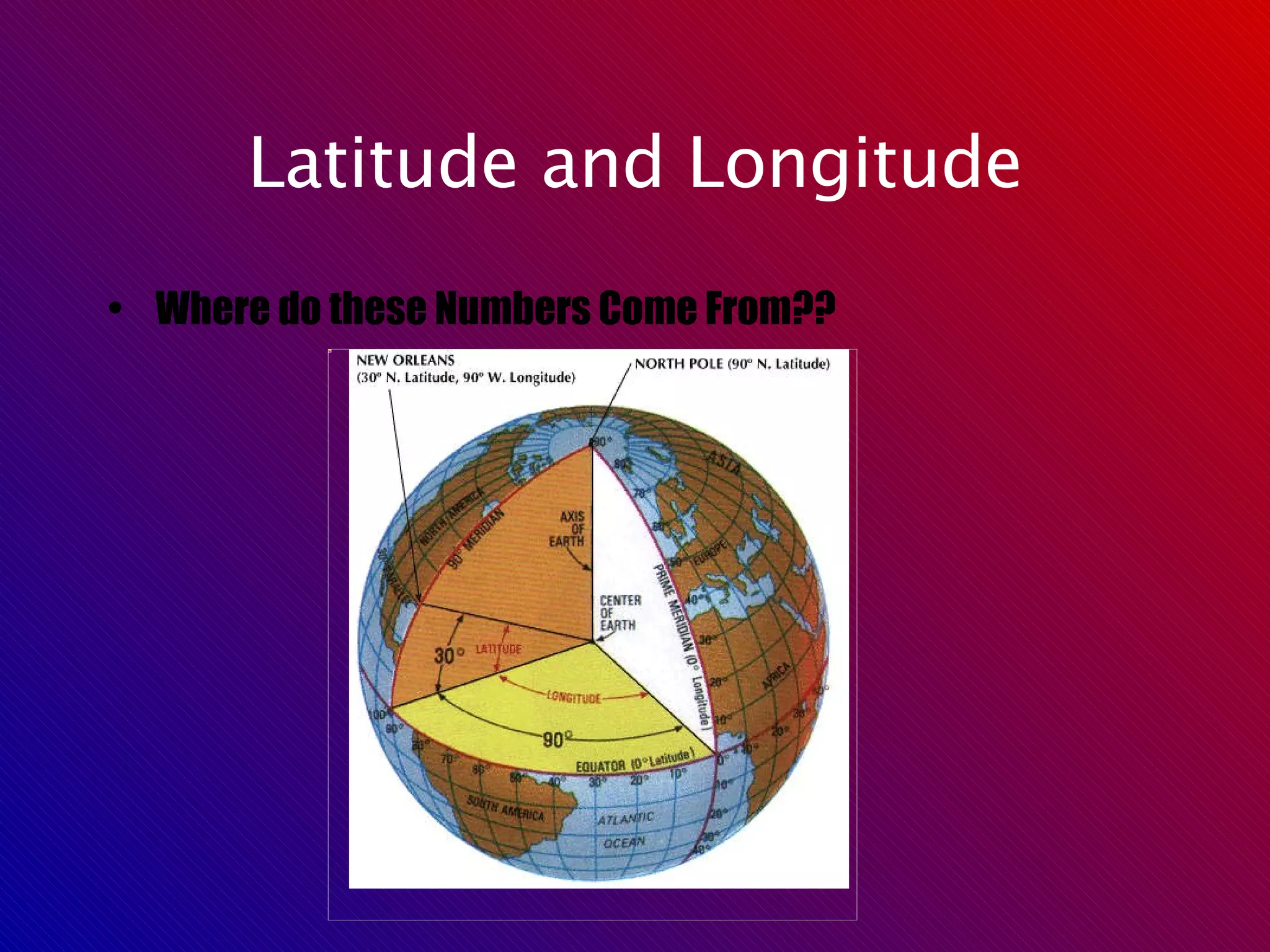
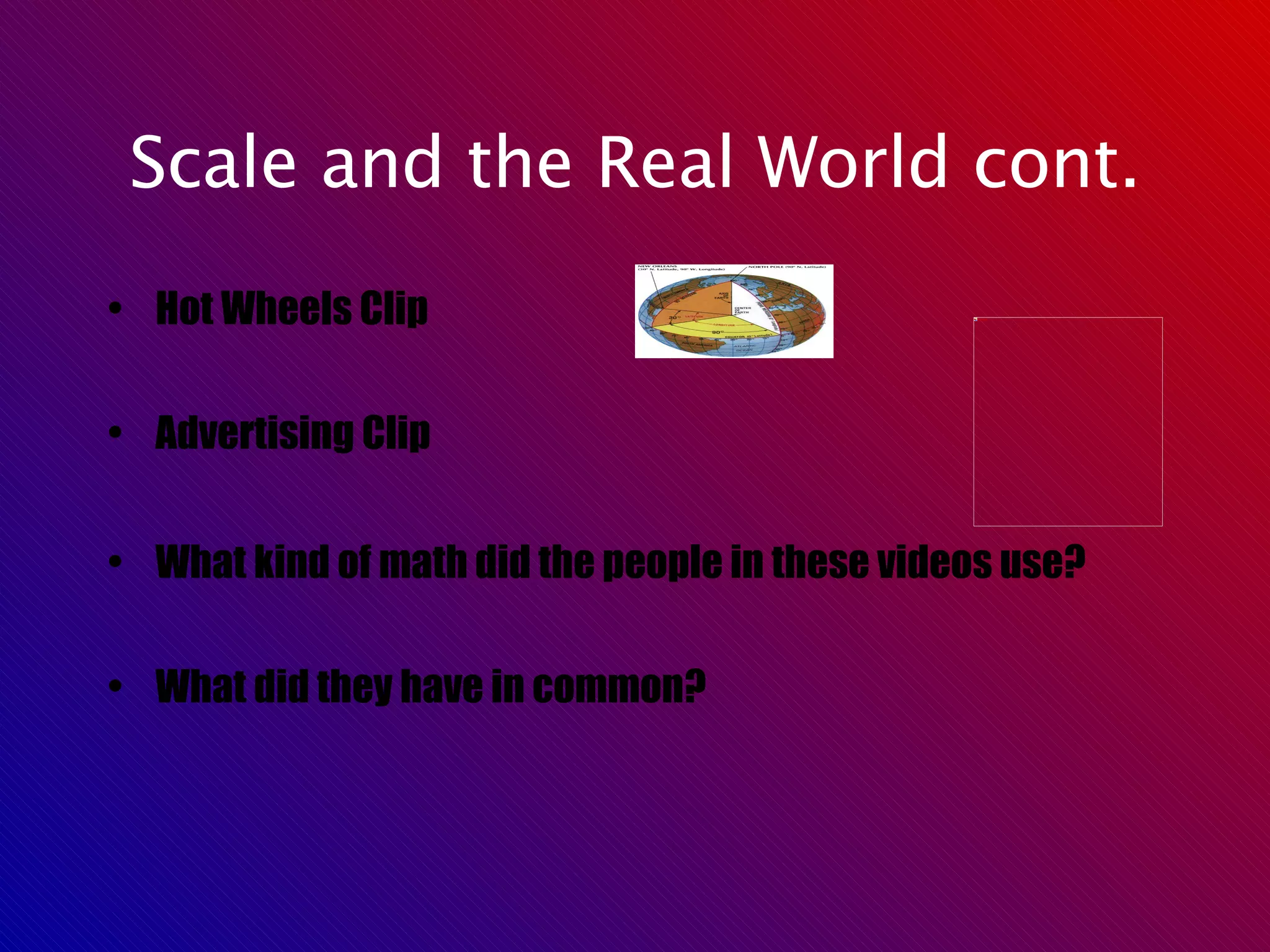
Latitude and longitude are coordinates that define locations on Earth. They are measured in degrees, minutes, and seconds, where degrees indicate lines on a map or globe, minutes are 1/60 of a degree, and seconds are 1/60 of a minute. Scale refers to the ratio of distances on a map compared to actual distances on Earth, such as 1 centimeter on a map representing 1 kilometer on the ground. It allows distances on maps to be measured and is constant throughout a given map or blueprint. Professions like mapmaking, engineering, and advertising use scale in their work.