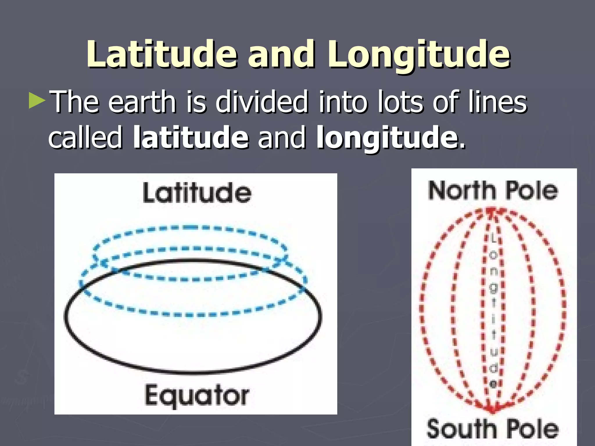
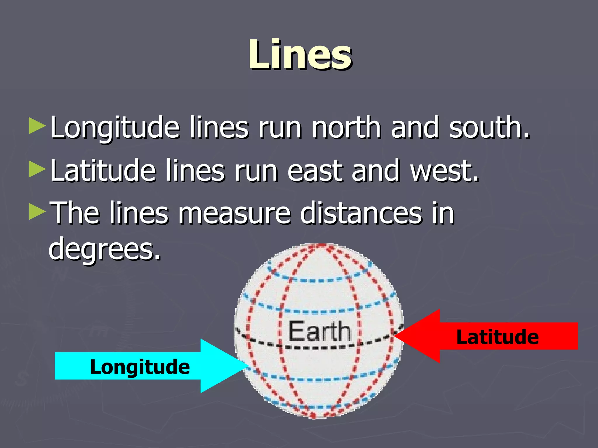
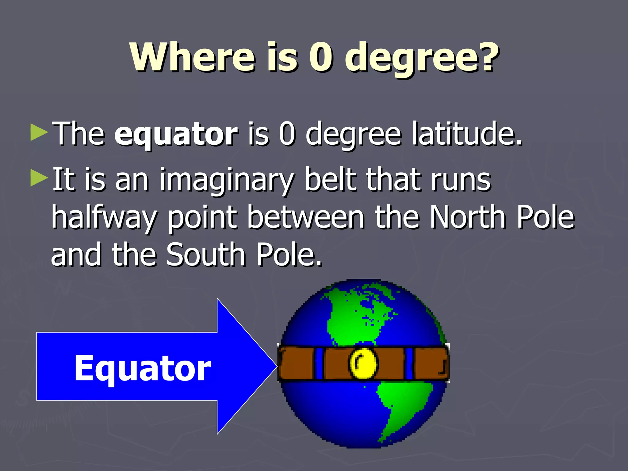
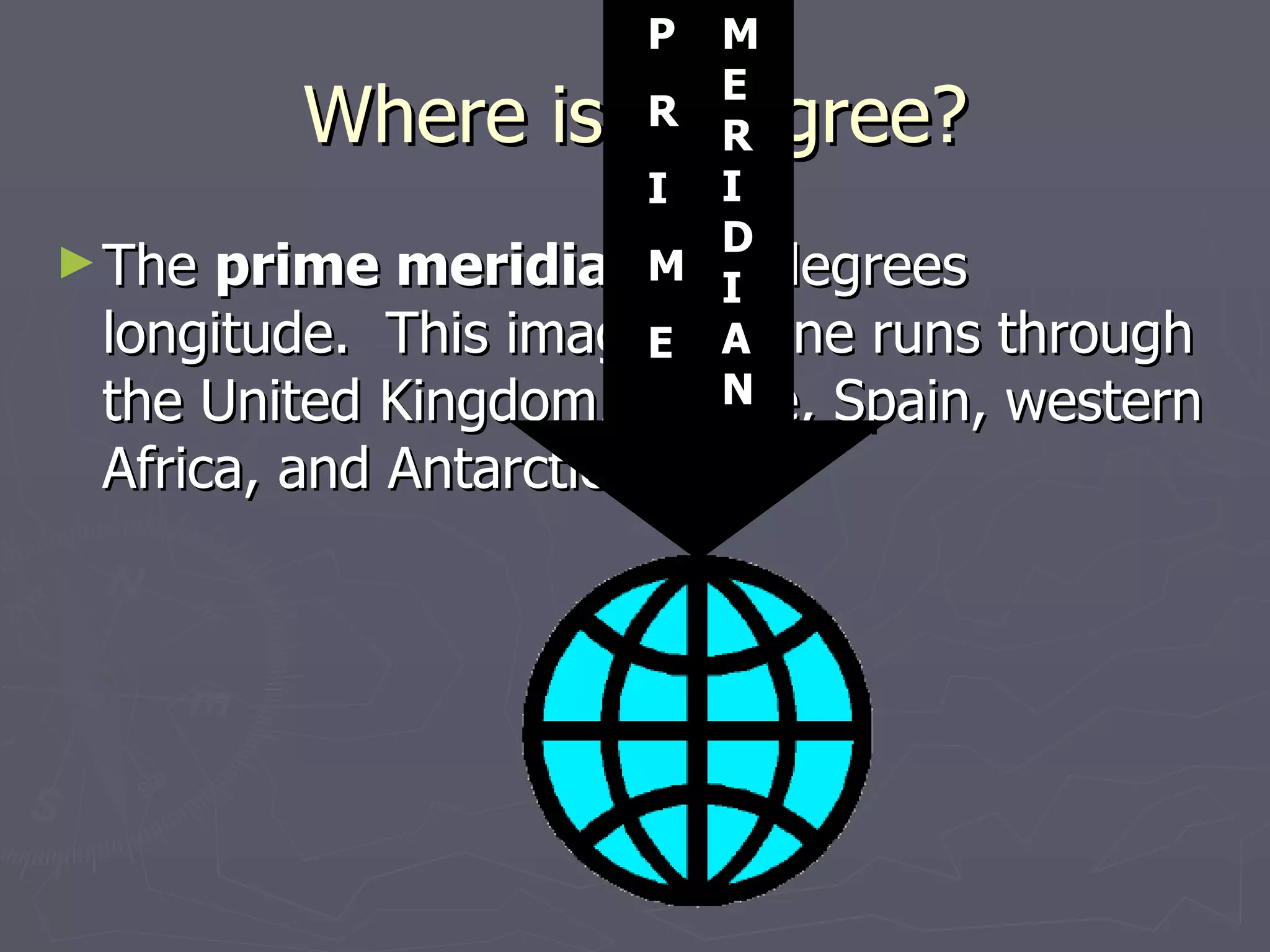
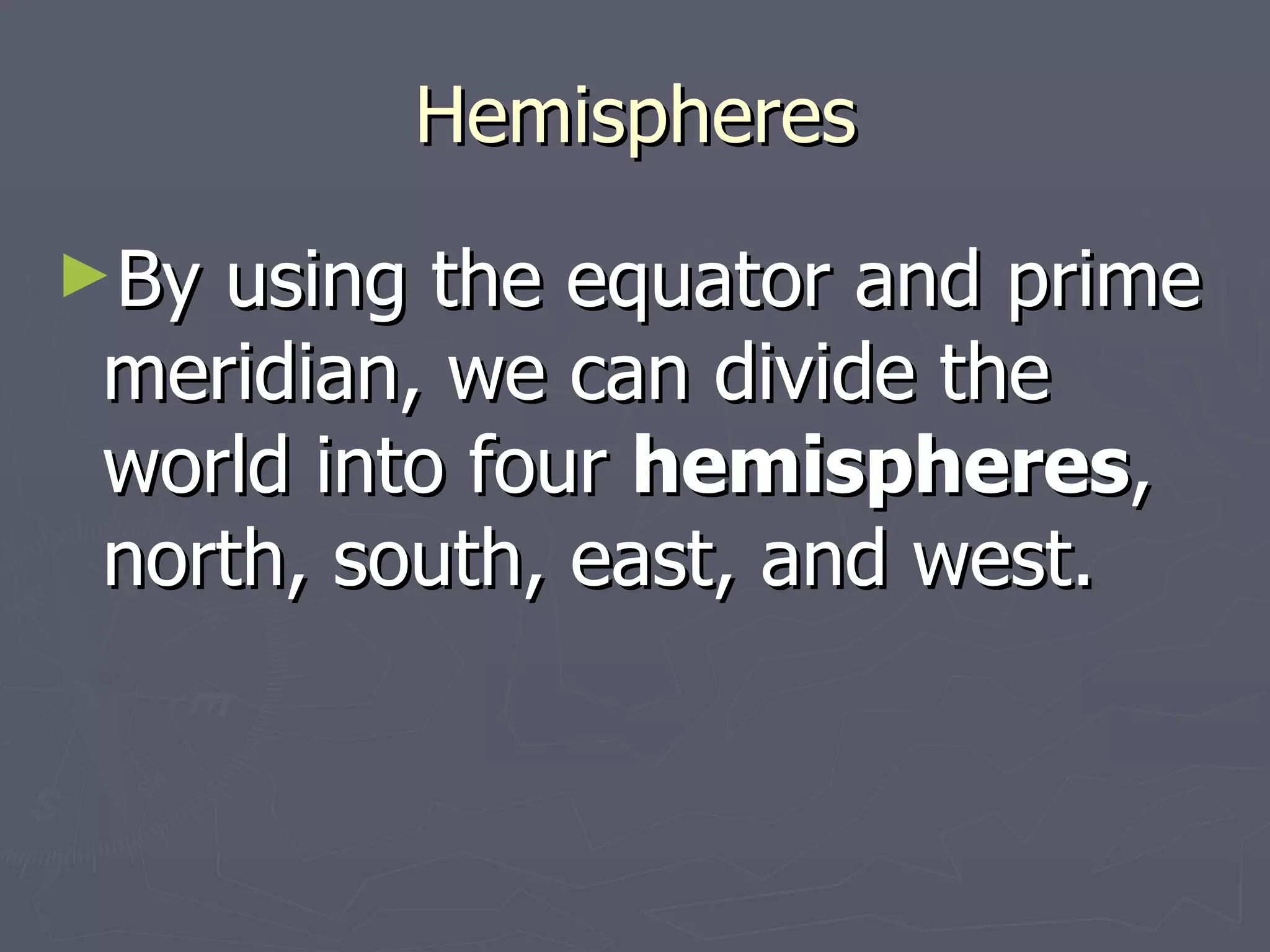
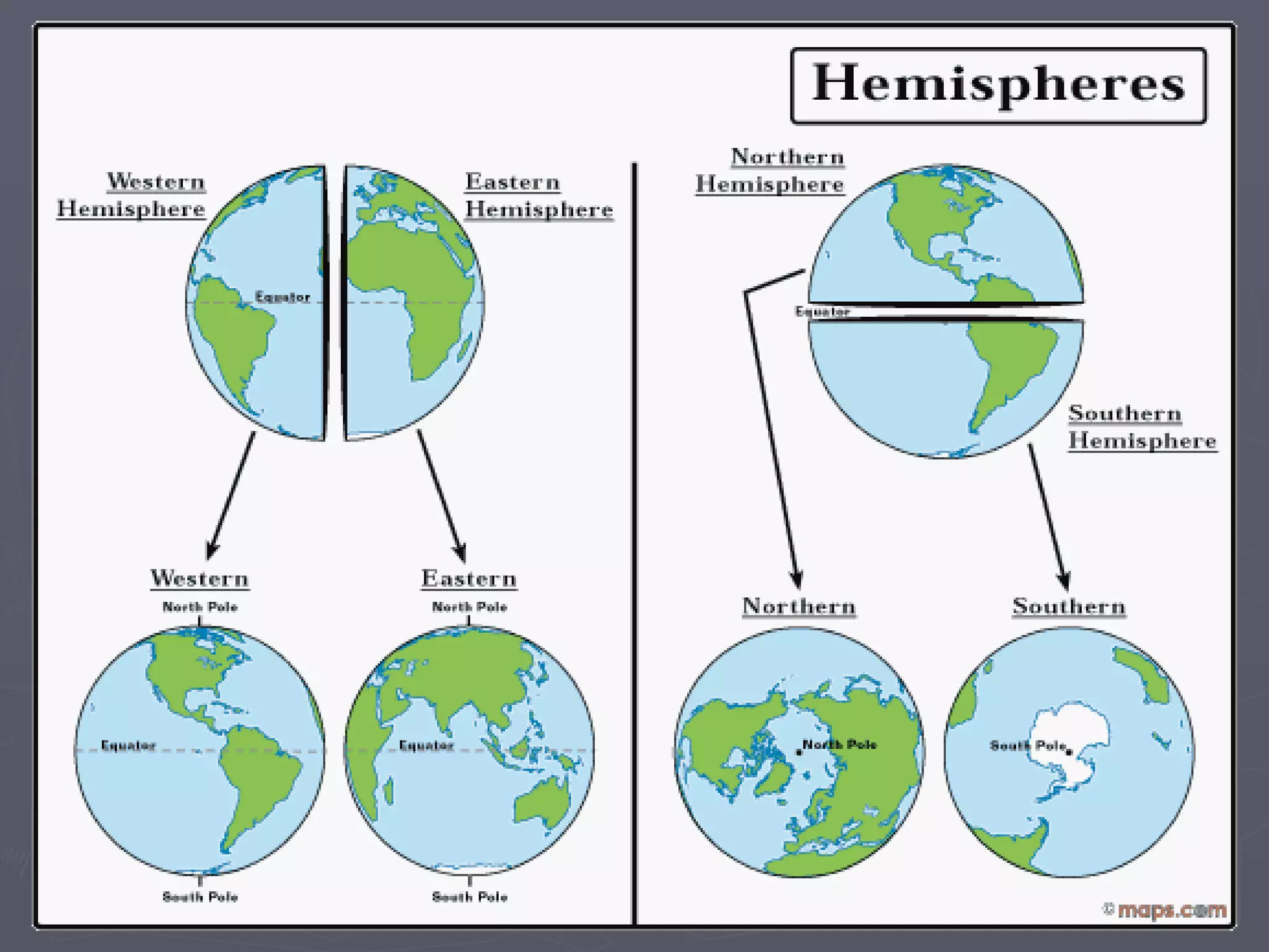
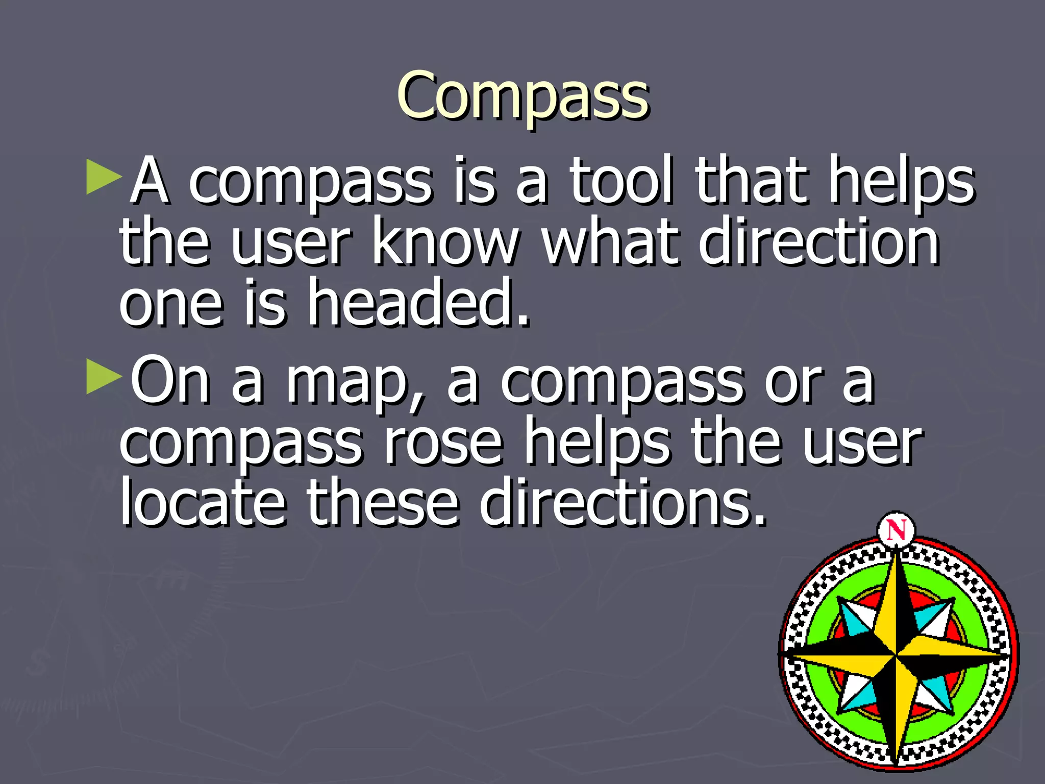
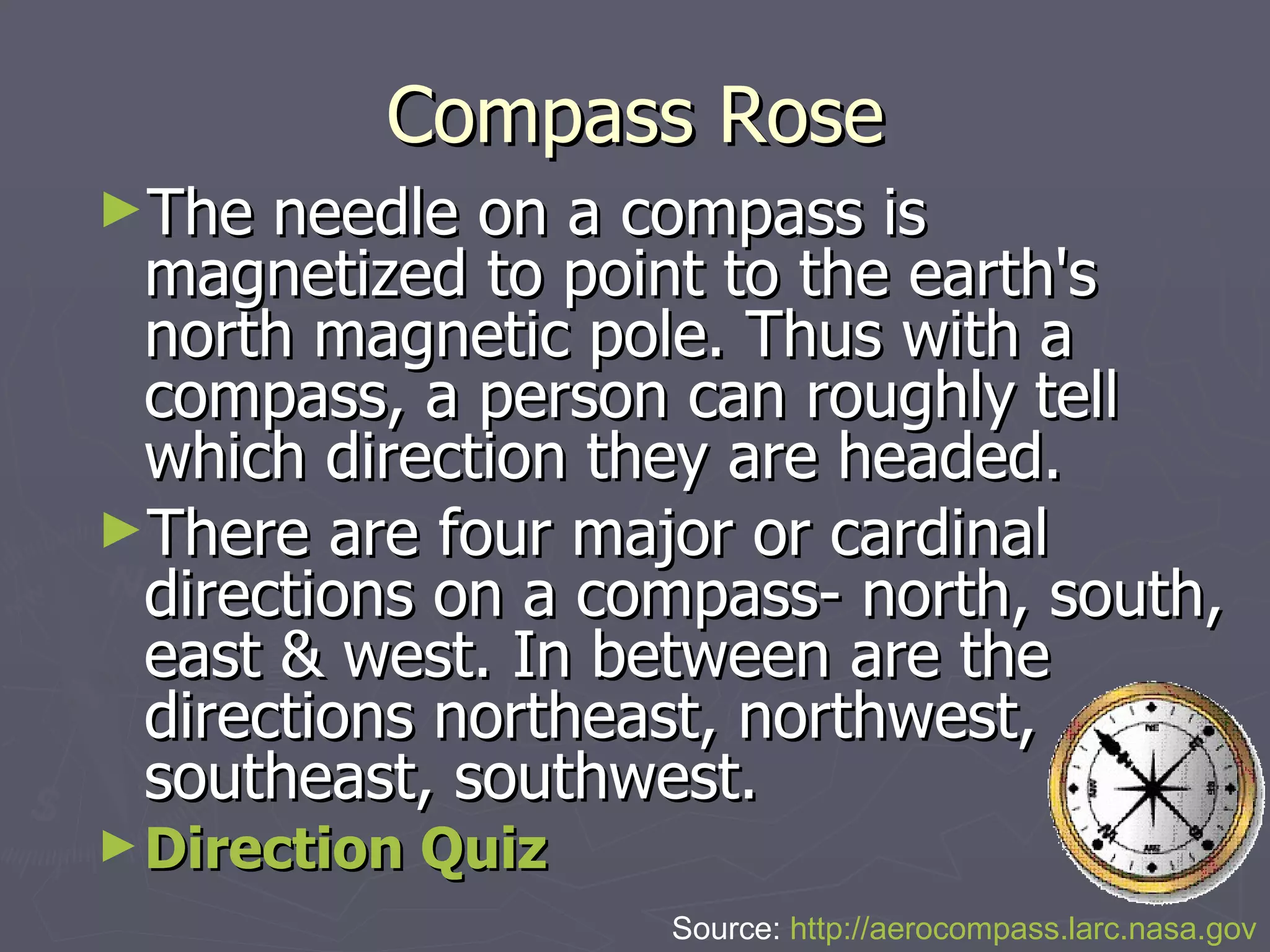
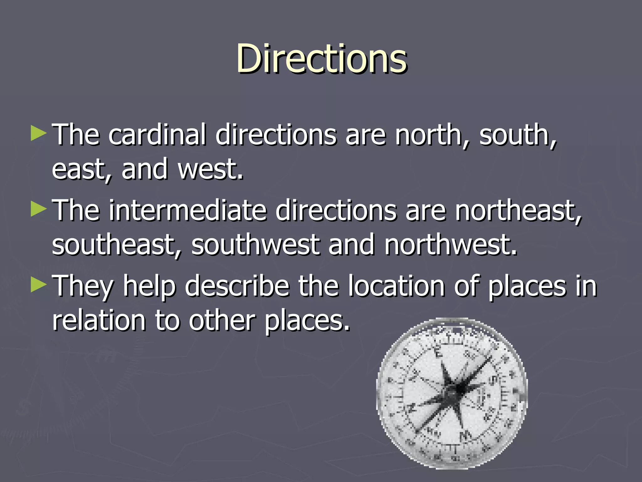
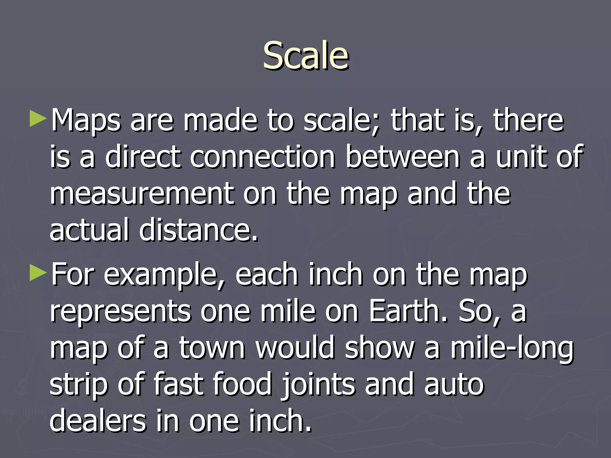
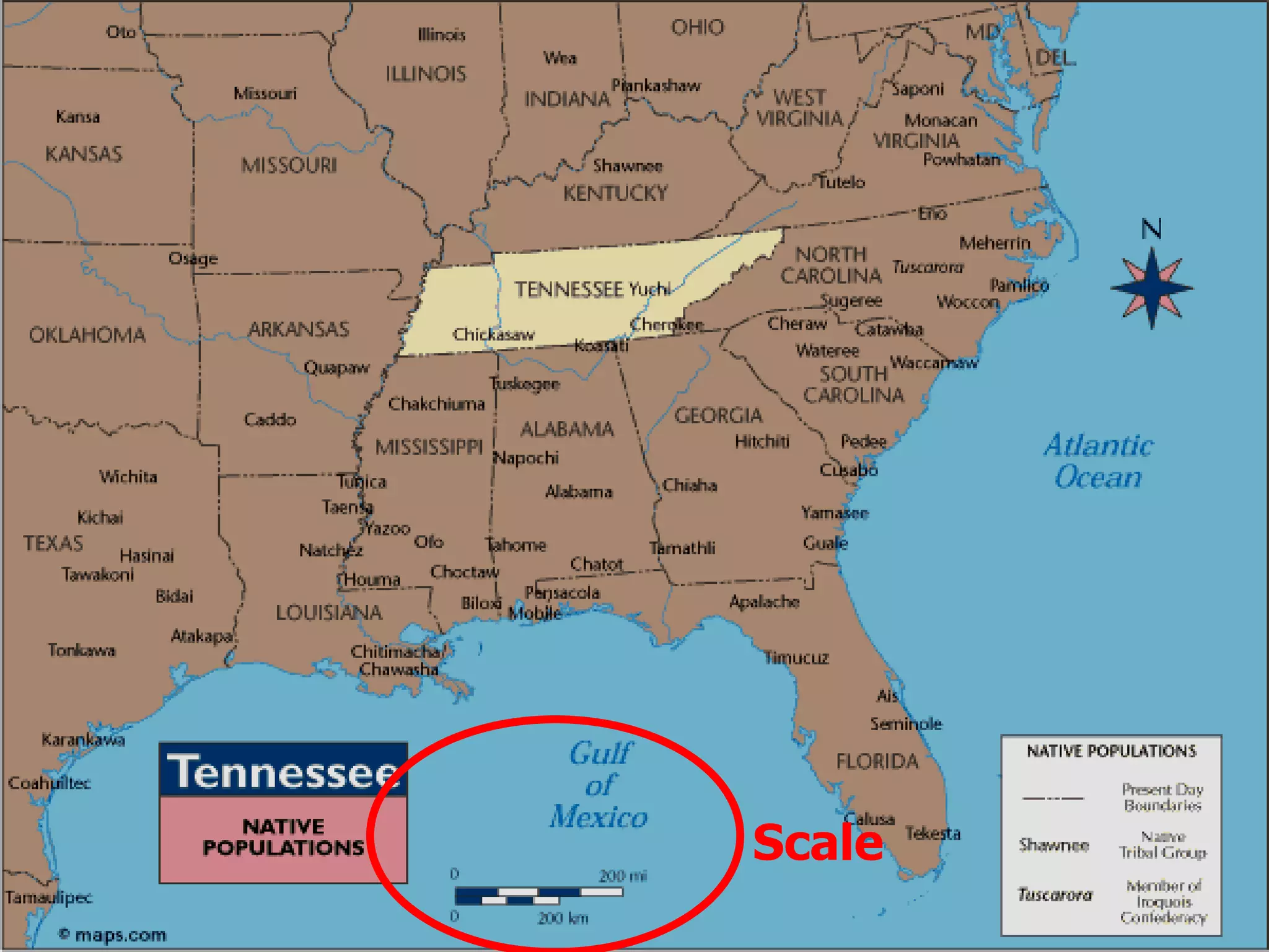
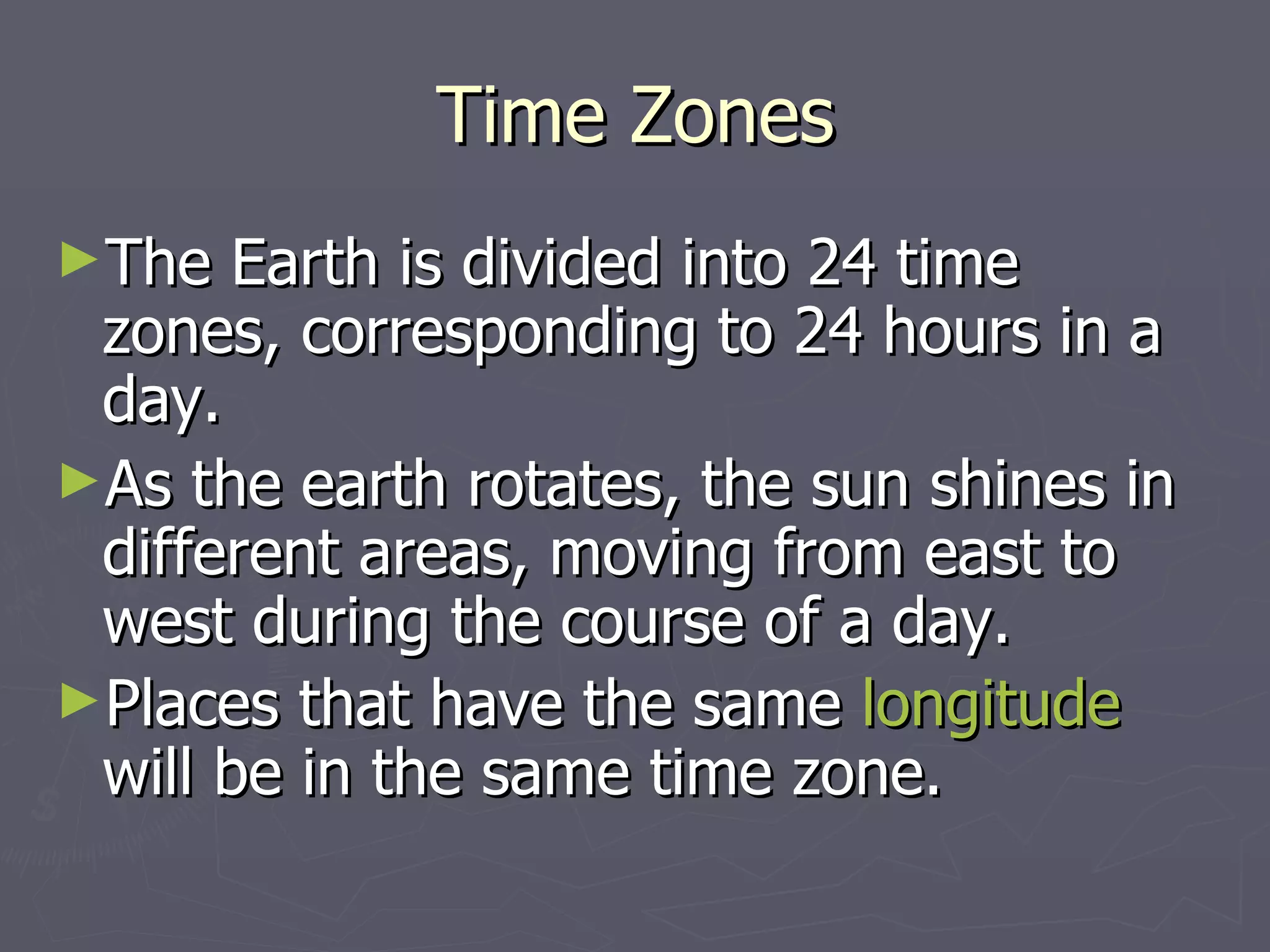
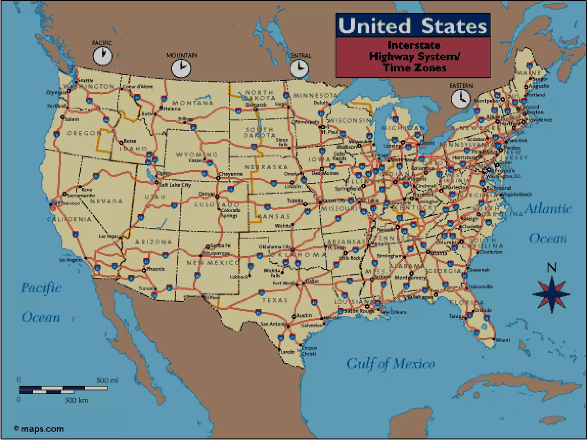
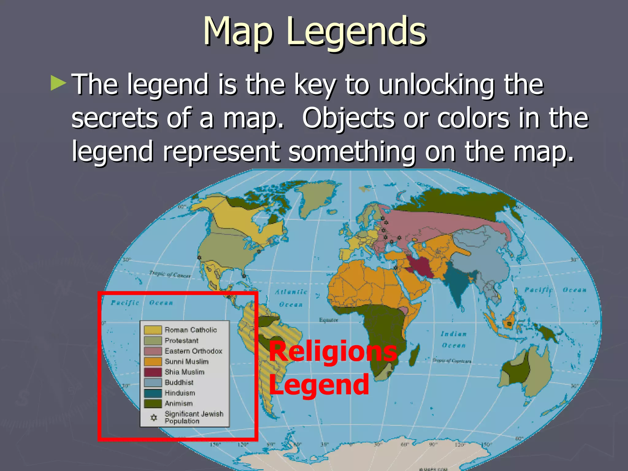
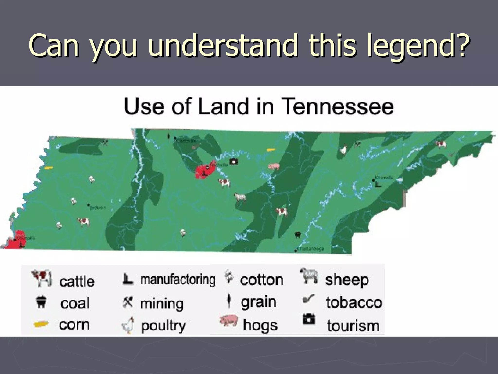
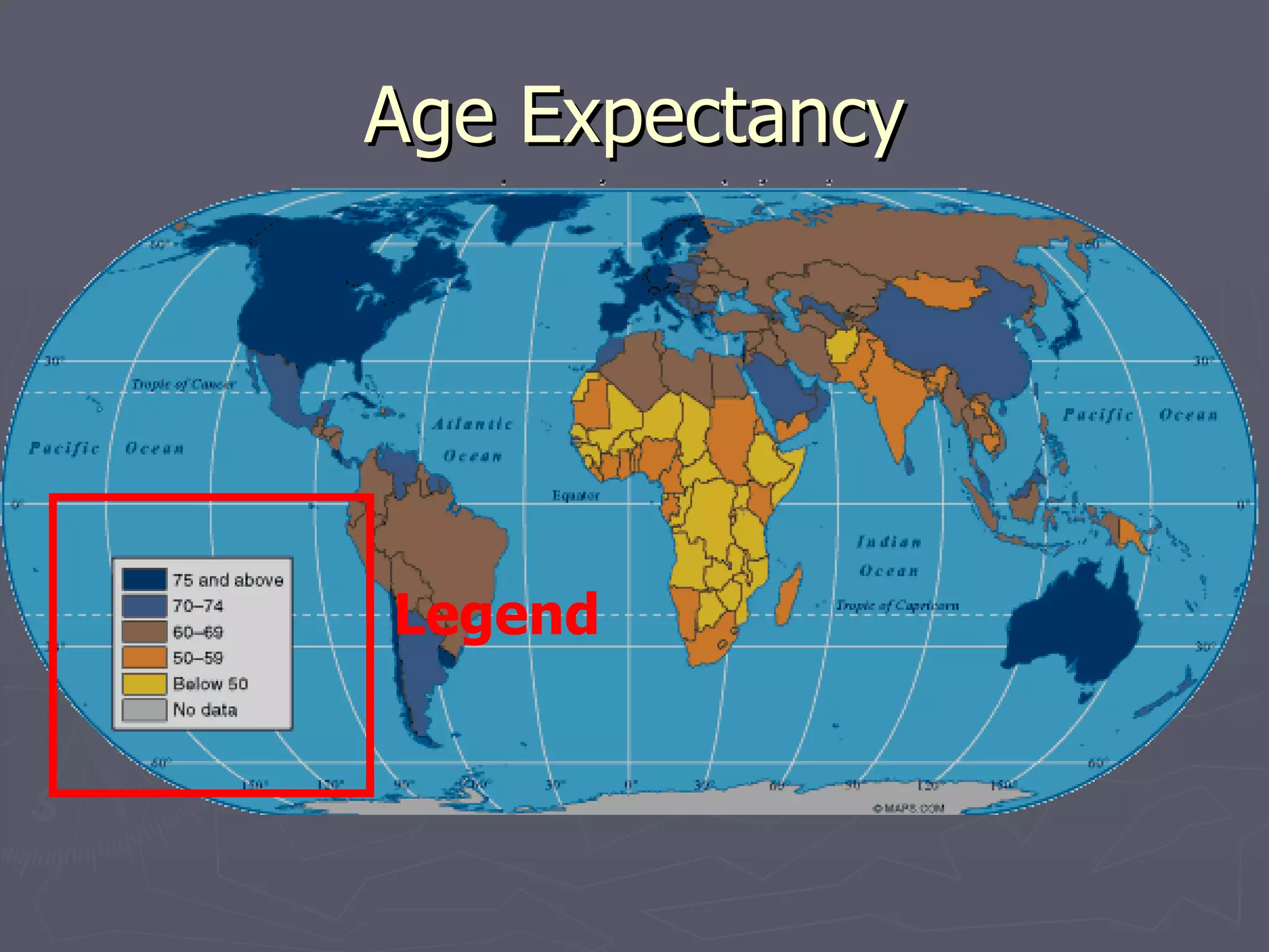
Map Elements Write On
Latitude and Longitude The earth is divided into lots of lines called  latitude  and  longitude .
Lines Longitude lines run north and south. Latitude lines run east and west.  The lines measure distances in degrees.   Latitude Longitude
Where is 0 degree? The  equator  is 0 degree latitude.  It is an imaginary belt that runs halfway point between the North Pole and the South Pole. Equator
Where is 0 degree? The  prime meridian  is 0 degrees longitude.  This imaginary line runs through the United Kingdom, France, Spain, western Africa, and Antarctica. P R I M E M E R I D I A N
 
Latitude and Longitude Resources Latitude & Longitude Activity A Printable Latitude & Longitude Map of the World Latitude & Longitude Map Making Latitude and Longitude Quiz
Hemispheres By using the equator and prime meridian, we can divide the world into four  hemispheres , north, south, east, and west.
 
Compass A compass is a tool that helps the user know what direction one is headed. On a map, a compass or a compass rose helps the user locate these directions.
Compass Rose The needle on a compass is magnetized to point to the earth's north magnetic pole. Thus with a compass, a person can roughly tell which direction they are headed.  There are four major or cardinal directions on a compass- north, south, east & west. In between are the directions northeast, northwest, southeast, southwest.  Direction Quiz Source:  http://aerocompass.larc.nasa.gov
Directions The cardinal directions are north, south, east, and west. The intermediate directions are northeast, southeast, southwest and northwest. They help describe the location of places in relation to other places.
Scale Maps are made to scale; that is, there is a direct connection between a unit of measurement on the map and the actual distance. For example, each inch on the map represents one mile on Earth. So, a map of a town would show a mile-long strip of fast food joints and auto dealers in one inch.
Scale
Time Zones The Earth is divided into 24 time zones, corresponding to 24 hours in a day.  As the earth rotates, the sun shines in different areas, moving from east to west during the course of a day.  Places that have the same  longitude  will be in the same time zone.
 
Map Legends The legend is the key to unlocking the secrets of a map.  Objects or colors in the legend represent something on the map.  Religions Legend
Can you understand this legend?
Age Expectancy Legend
Writing Activities Write a paragraph describing the parts of a map.  Tell the function of each part in reading a map.

Readingmaps 1

  • 1.
  • 2.
    Latitude and LongitudeThe earth is divided into lots of lines called latitude and longitude .
  • 3.
    Lines Longitude linesrun north and south. Latitude lines run east and west. The lines measure distances in degrees. Latitude Longitude
  • 4.
    Where is 0degree? The equator is 0 degree latitude. It is an imaginary belt that runs halfway point between the North Pole and the South Pole. Equator
  • 5.
    Where is 0degree? The prime meridian is 0 degrees longitude. This imaginary line runs through the United Kingdom, France, Spain, western Africa, and Antarctica. P R I M E M E R I D I A N
  • 6.
  • 7.
    Latitude and LongitudeResources Latitude & Longitude Activity A Printable Latitude & Longitude Map of the World Latitude & Longitude Map Making Latitude and Longitude Quiz
  • 8.
    Hemispheres By usingthe equator and prime meridian, we can divide the world into four hemispheres , north, south, east, and west.
  • 9.
  • 10.
    Compass A compassis a tool that helps the user know what direction one is headed. On a map, a compass or a compass rose helps the user locate these directions.
  • 11.
    Compass Rose Theneedle on a compass is magnetized to point to the earth's north magnetic pole. Thus with a compass, a person can roughly tell which direction they are headed. There are four major or cardinal directions on a compass- north, south, east & west. In between are the directions northeast, northwest, southeast, southwest. Direction Quiz Source: http://aerocompass.larc.nasa.gov
  • 12.
    Directions The cardinaldirections are north, south, east, and west. The intermediate directions are northeast, southeast, southwest and northwest. They help describe the location of places in relation to other places.
  • 13.
    Scale Maps aremade to scale; that is, there is a direct connection between a unit of measurement on the map and the actual distance. For example, each inch on the map represents one mile on Earth. So, a map of a town would show a mile-long strip of fast food joints and auto dealers in one inch.
  • 14.
  • 15.
    Time Zones TheEarth is divided into 24 time zones, corresponding to 24 hours in a day. As the earth rotates, the sun shines in different areas, moving from east to west during the course of a day. Places that have the same longitude will be in the same time zone.
  • 16.
  • 17.
    Map Legends Thelegend is the key to unlocking the secrets of a map. Objects or colors in the legend represent something on the map. Religions Legend
  • 18.
    Can you understandthis legend?
  • 19.
  • 20.
    Writing Activities Writea paragraph describing the parts of a map. Tell the function of each part in reading a map.