Download as PDF, PPTX


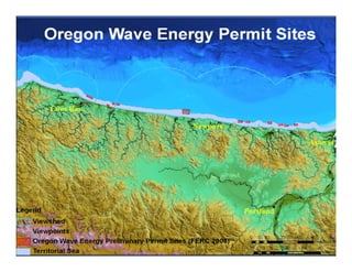

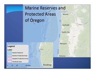


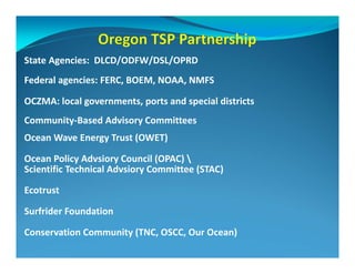


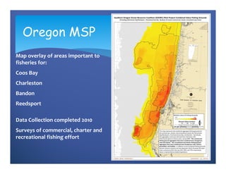


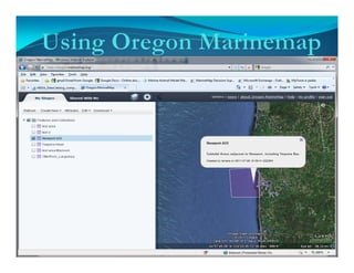
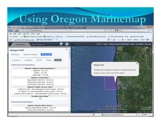


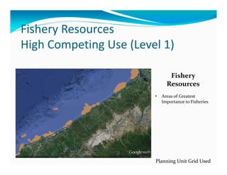

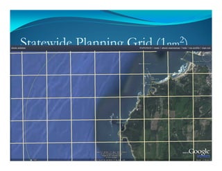


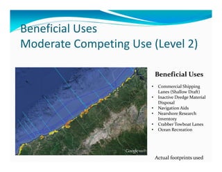
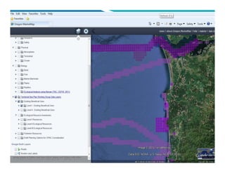
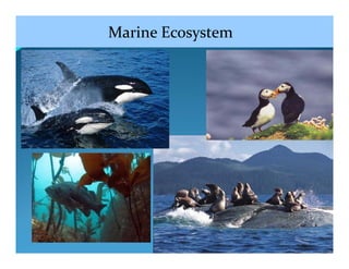

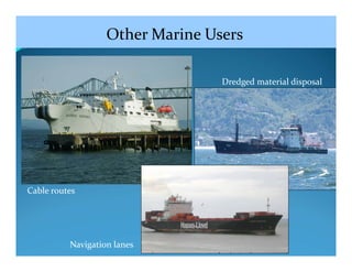
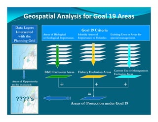


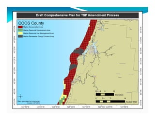


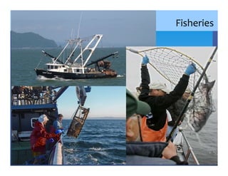
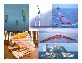
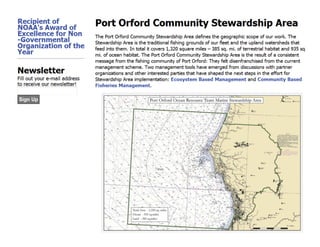

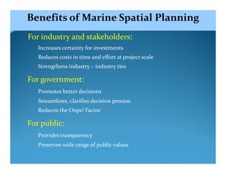
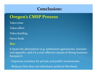

The document provides an overview and progress report of Oregon's marine spatial planning efforts. It discusses mapping of the seafloor and areas important to fisheries. Decision support tools have been developed to overlay data on ecological resources, fisheries, beneficial uses, and other marine users. The planning process incorporates public input and identifies areas for protection, management, and development of marine renewable energy. The long history and framework for ocean planning in Oregon provides increased certainty for stakeholders while balancing uses and preserving coastal resources.


