Download as PDF, PPTX
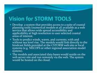
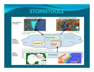
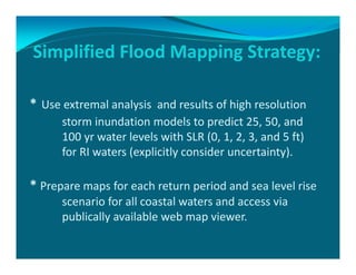
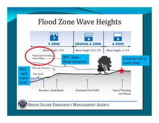
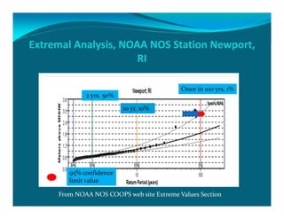
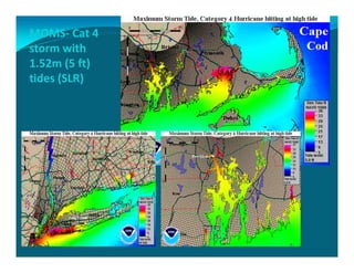
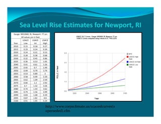
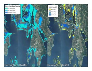
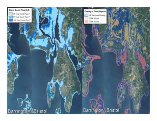

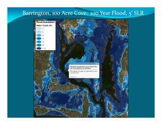
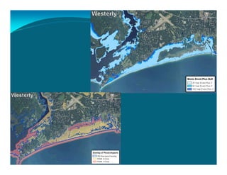
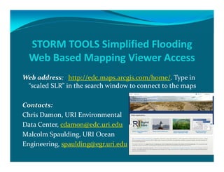
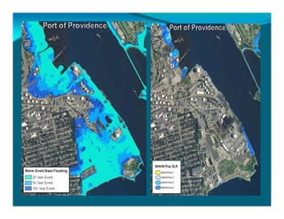

The document outlines the vision and tools under development for StormTools, a system designed to provide coastal planning tools accessible via a web service for predicting flooding due to sea level rise (SLR) in Rhode Island. It details the use of high-resolution storm inundation models and extremal analysis to prepare flood maps for different return periods and SLR scenarios. The project also includes plans for a simplified flood mapping strategy and web-based mapping viewer access for public use.


