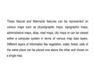
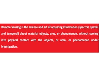
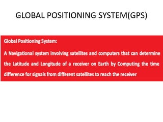
Geospatial technology includes remote sensing, geographic information systems, and global positioning systems which can improve organizational integration, support better decisions, create maps, and save costs and time.