Download as PDF, PPTX
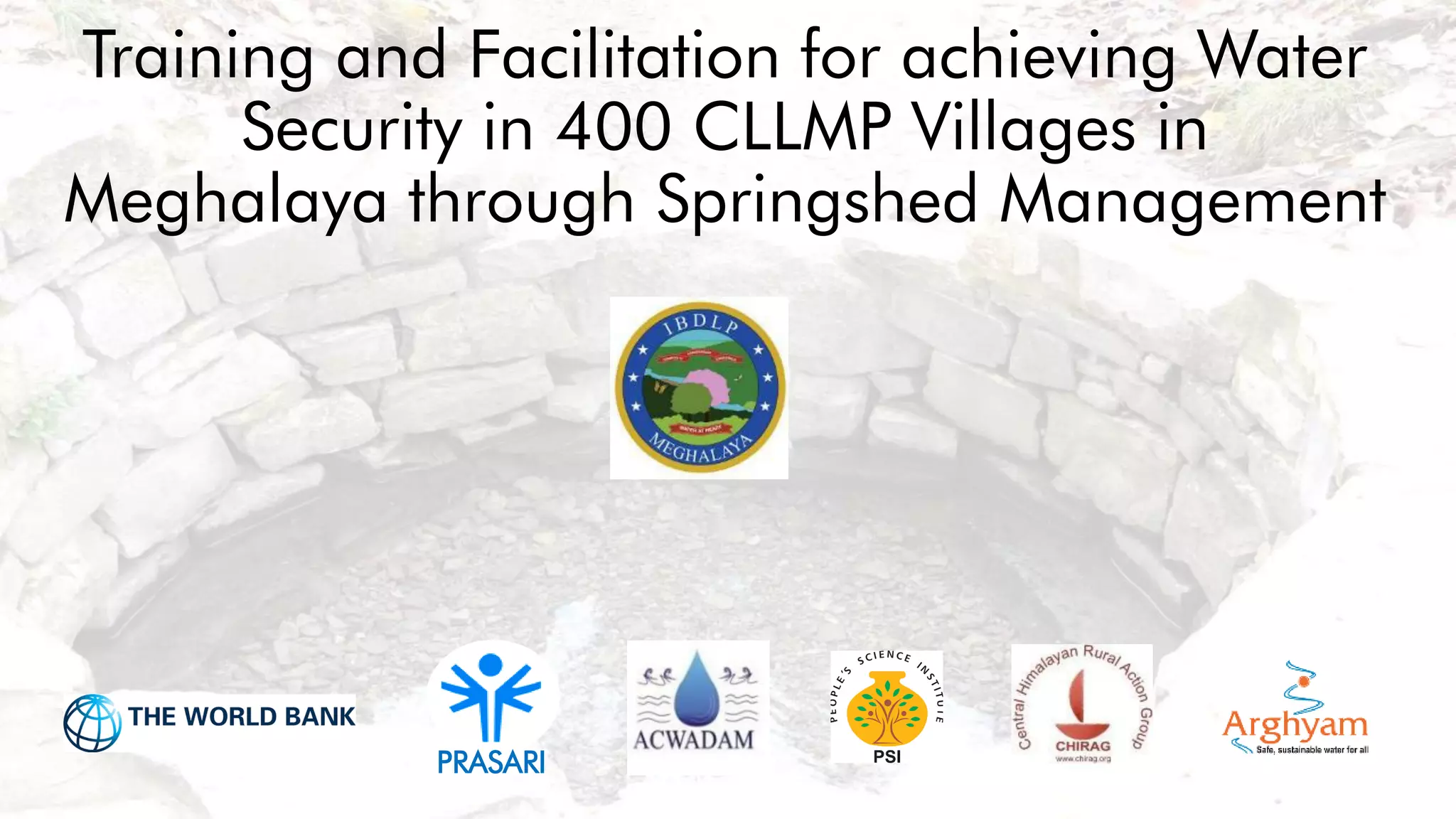
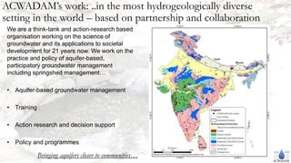

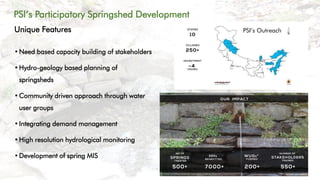
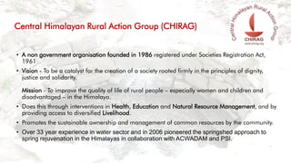
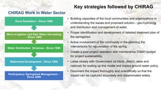
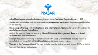
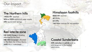
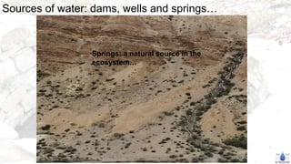
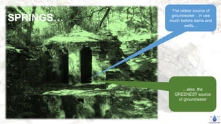
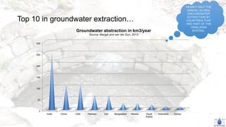
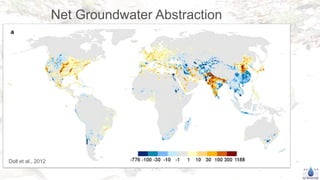
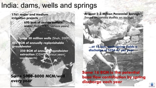
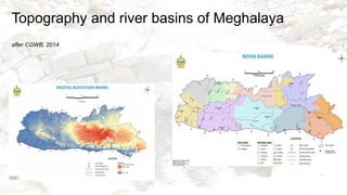
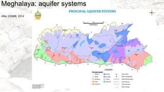
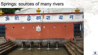
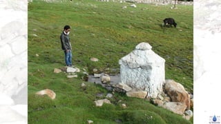
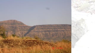
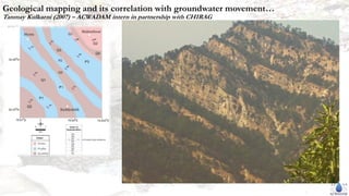

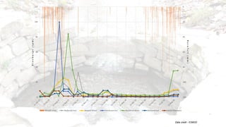
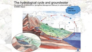
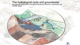
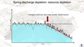
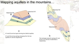
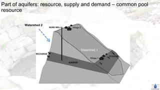
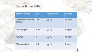
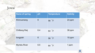
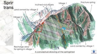

The document outlines the work of ACWADAM and partner organizations in facilitating water security through springshed management in 400 villages in Meghalaya. It highlights various strategies including capacity building, community involvement, and collaboration with government and non-government entities to improve groundwater management and sustainability. The focus is on reviving springs, addressing water resource challenges, and integrating scientific research with community practices for effective water management in the region.


