Download as PDF, PPTX

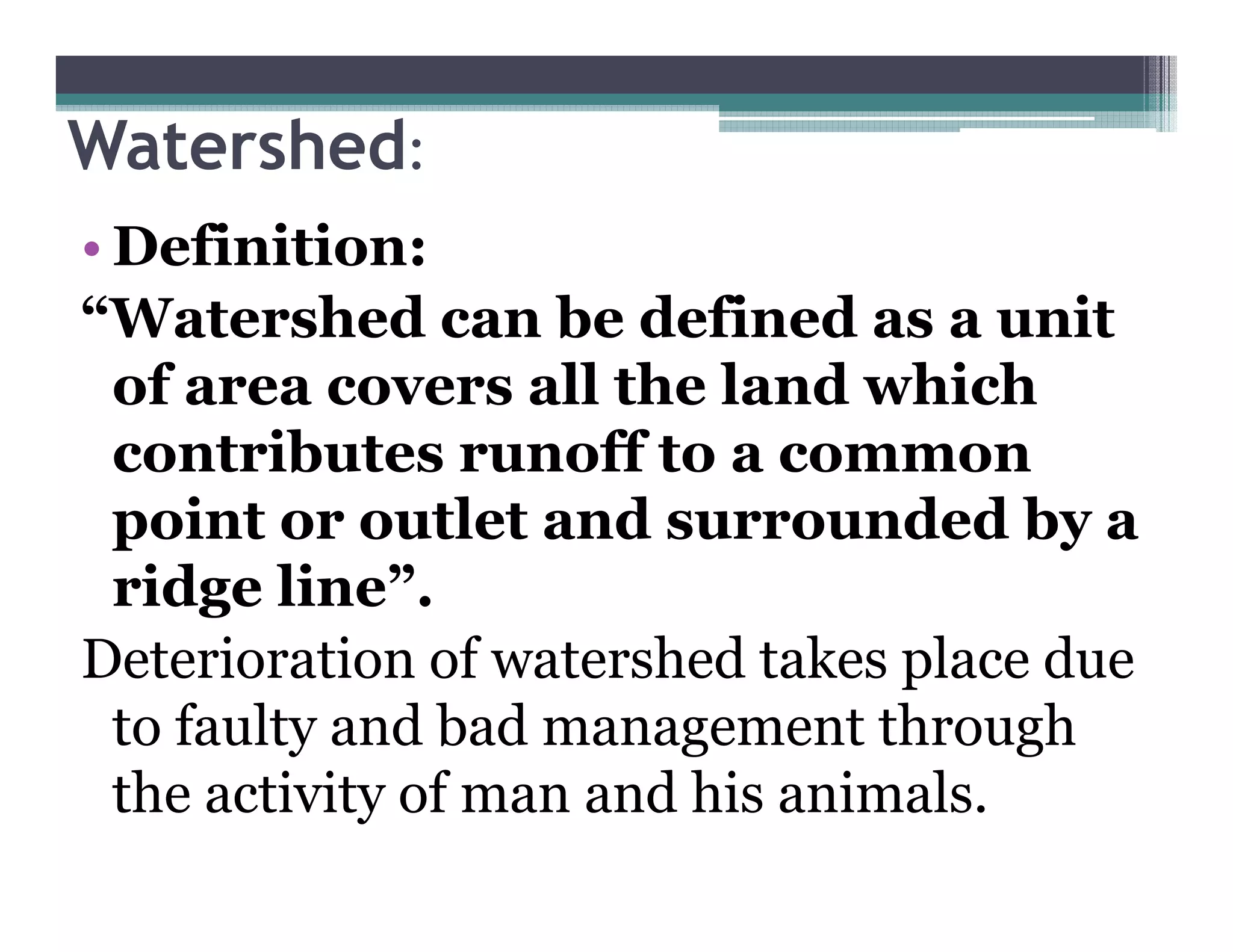

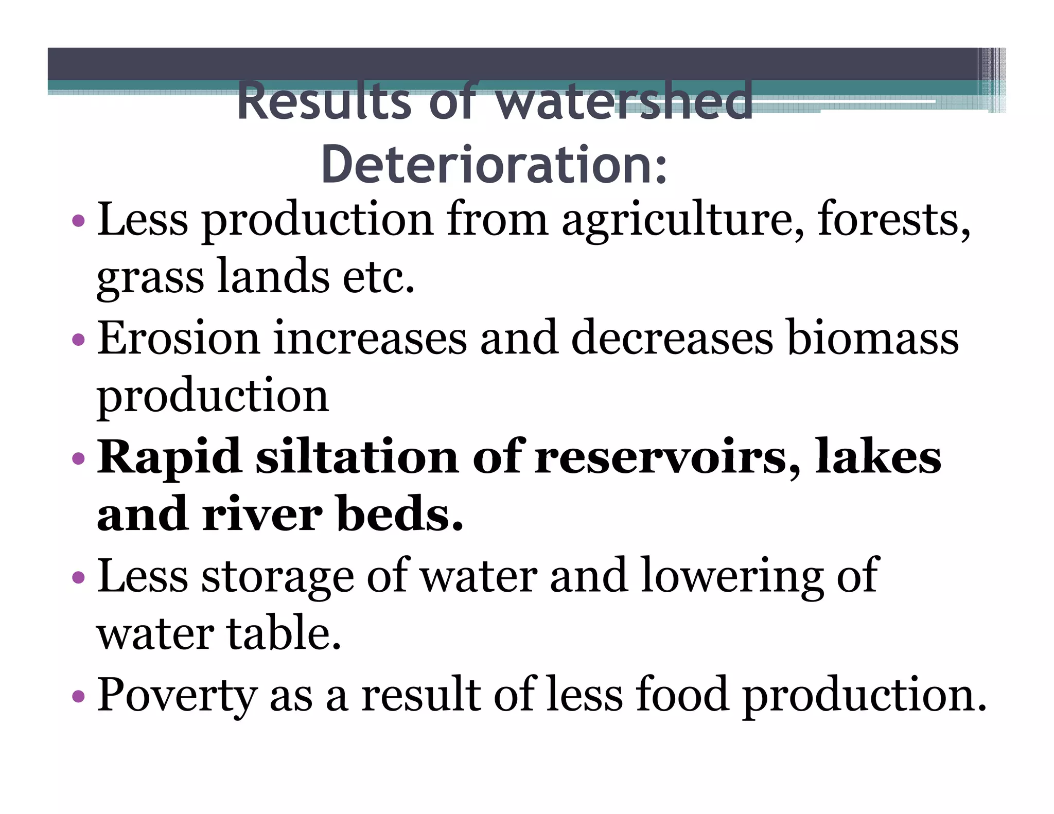

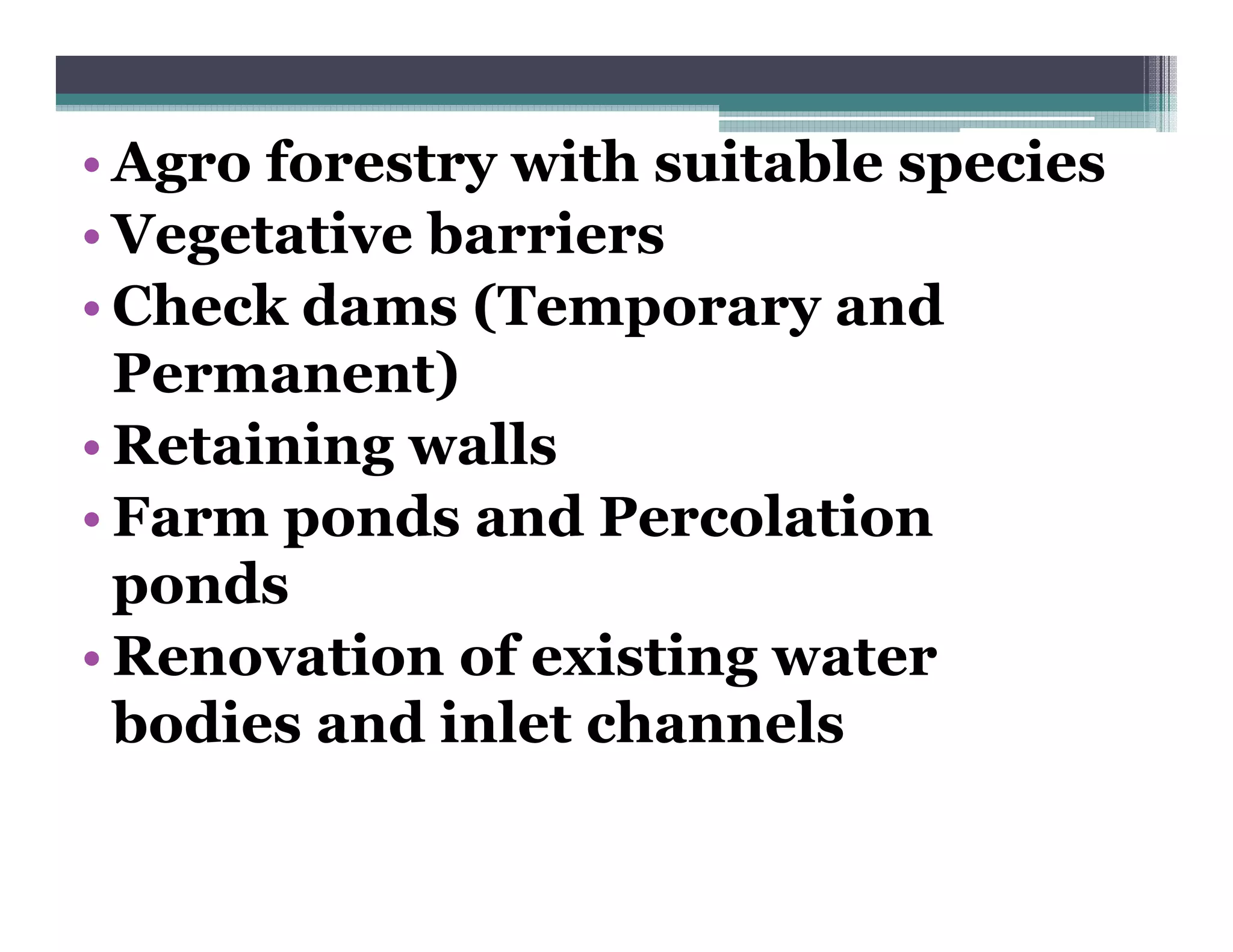
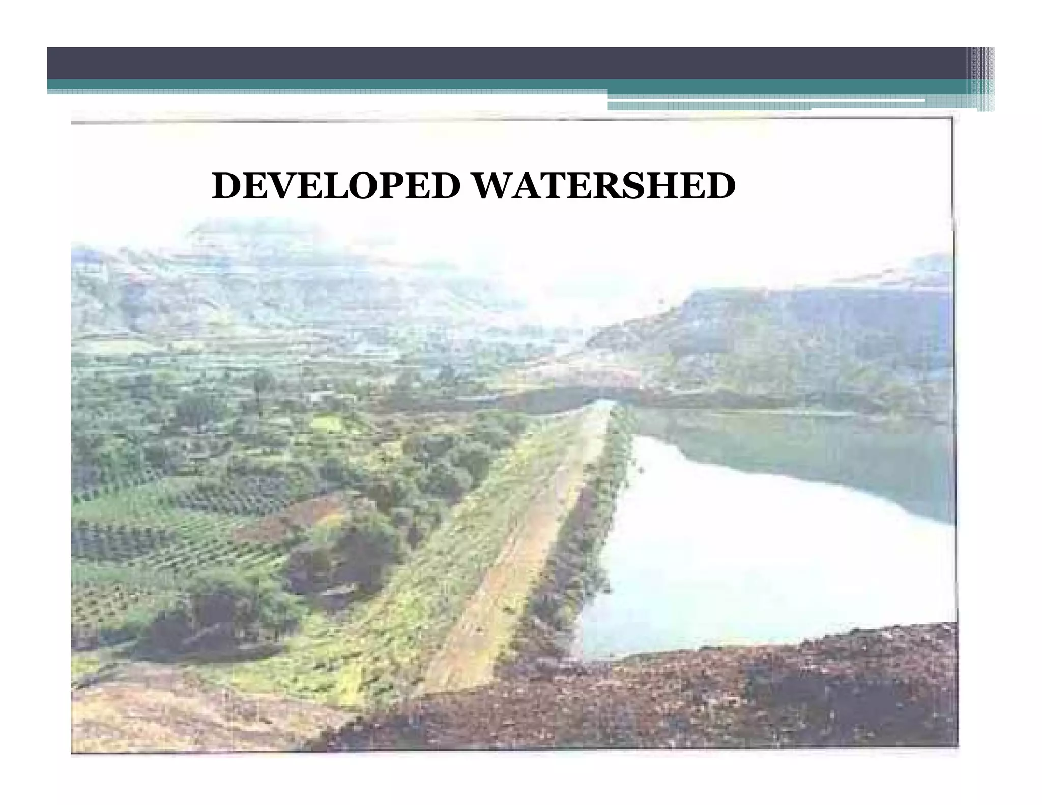


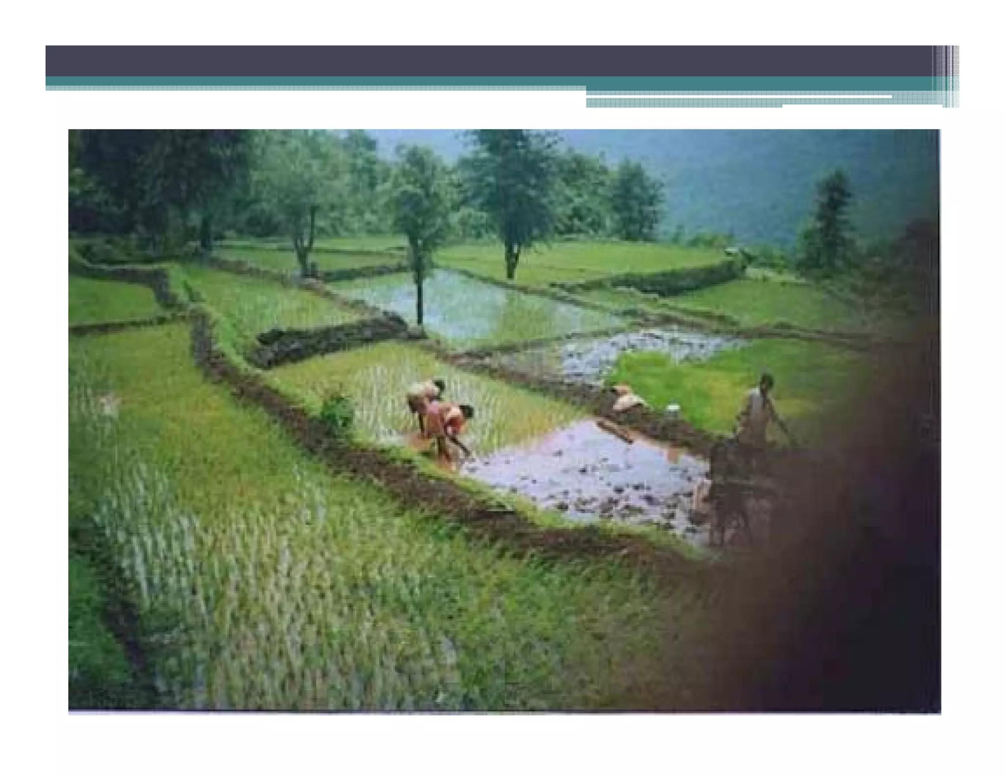


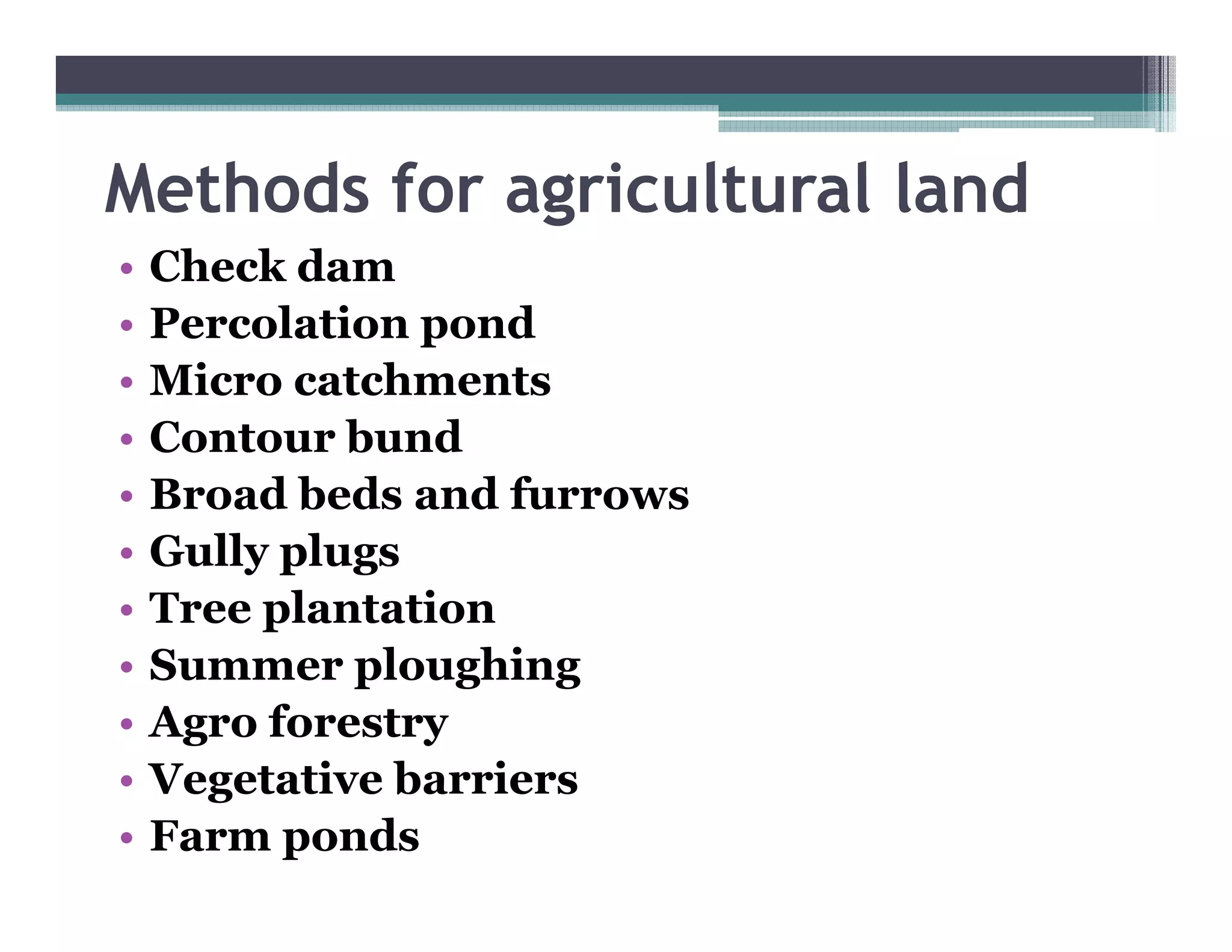


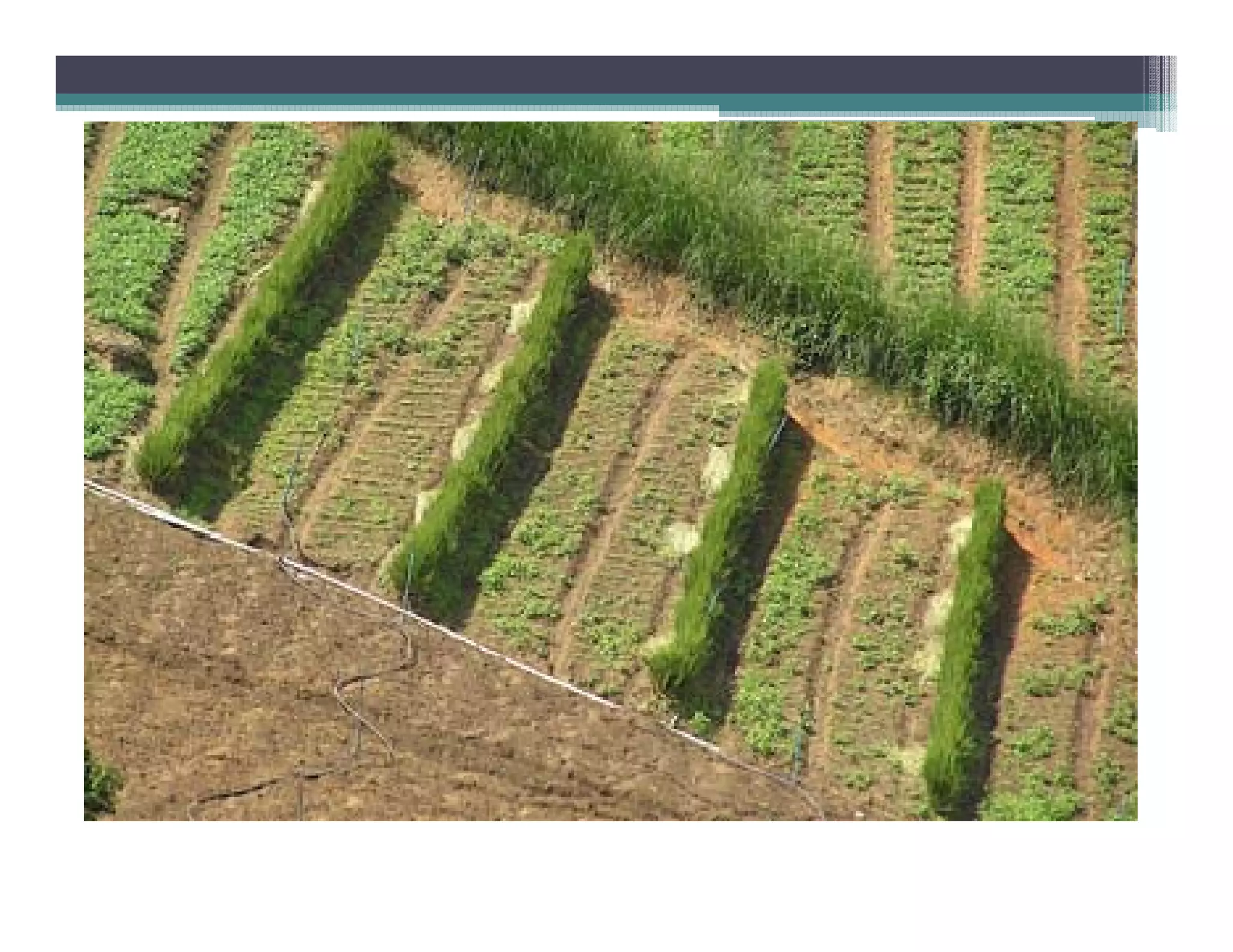


Watershed management aims to conserve soil and water resources through various treatment measures. Deterioration of watersheds occurs due to faulty agriculture, forestry, mining and other human activities, resulting in less production, increased erosion, and lowered water tables. Watershed development components include soil management, water management, afforestation, and other interdependent activities. Measures for watershed treatment include contour trenches, bench terracing, check dams, plantation, and other methods suitable for agricultural land and hill slopes. The overall goal is to develop watersheds in a sustainable manner.