Downloaded 430 times
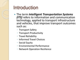
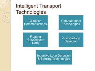
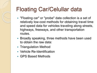
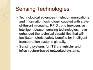
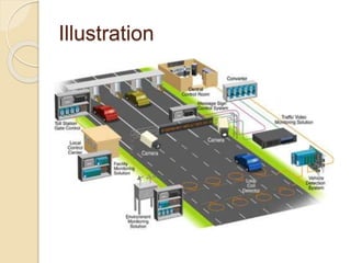
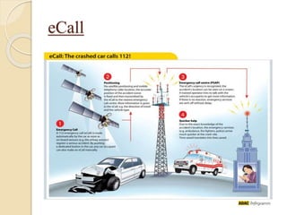
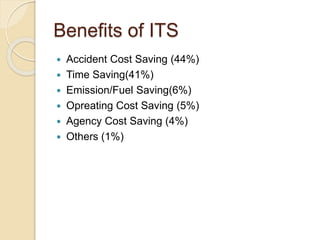
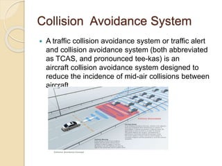


The document discusses Intelligent Transportation Systems (ITS), which use information and communication technologies to improve transportation outcomes such as safety, productivity, reliability and more. ITS technologies can include wireless communications, computational technologies, floating car data collection using cellular signals, and sensing technologies like inductive loops and video detection. The document outlines several ITS applications including emergency notification systems, automatic road enforcement, collision avoidance systems and more. Benefits of ITS include reduced accidents, time savings, lower emissions and costs.


![Intelligent transport system (its) [autosaved]](https://cdn.slidesharecdn.com/ss_thumbnails/intelligenttransportsystemitsautosaved-180424014548-thumbnail.jpg?width=640&height=640&fit=bounds)


![Transportation information system[1]](https://cdn.slidesharecdn.com/ss_thumbnails/transportationinformationsystem1-200327174014-thumbnail.jpg?width=640&height=640&fit=bounds)


