Downloaded 851 times
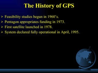
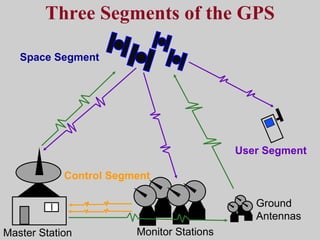
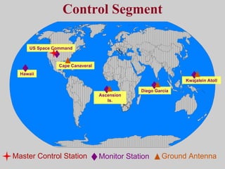
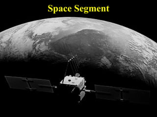
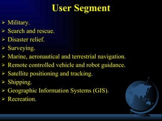
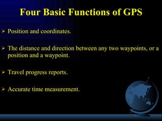
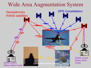
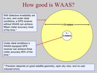

The document provides an overview of the GPS system, including its history from feasibility studies in the 1960s to becoming fully operational in 1995. It describes the three segments that make up the GPS system: the control segment, space segment, and user segment. It also discusses various sources of error in GPS positioning and methods to improve accuracy, such as differential and wide area augmentation systems.


