Download as PDF, PPTX

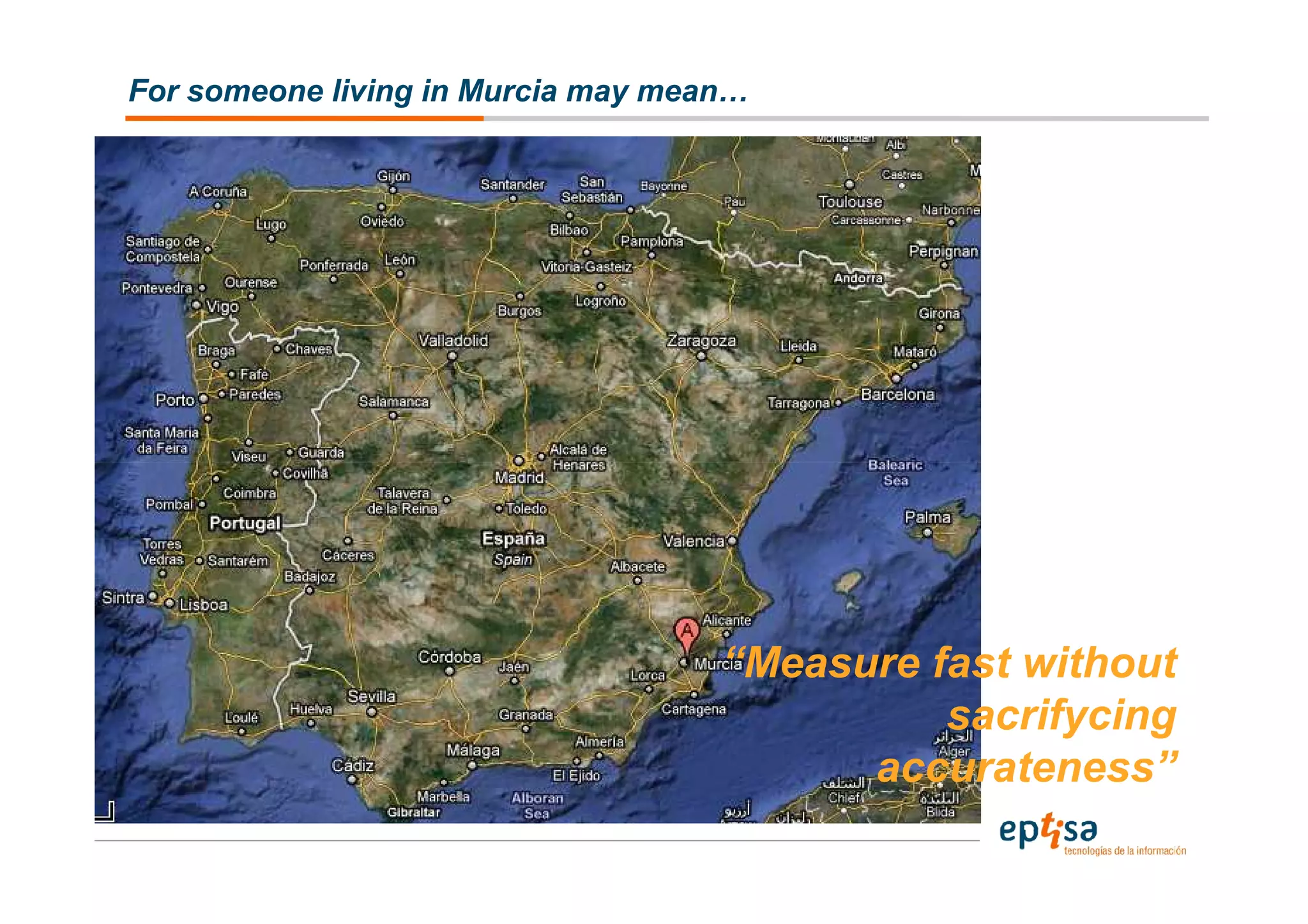

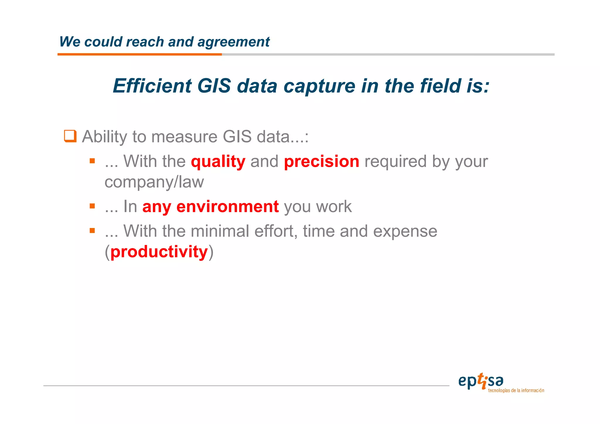

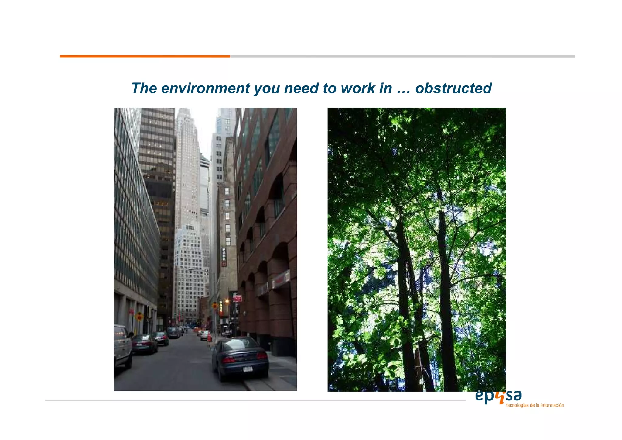
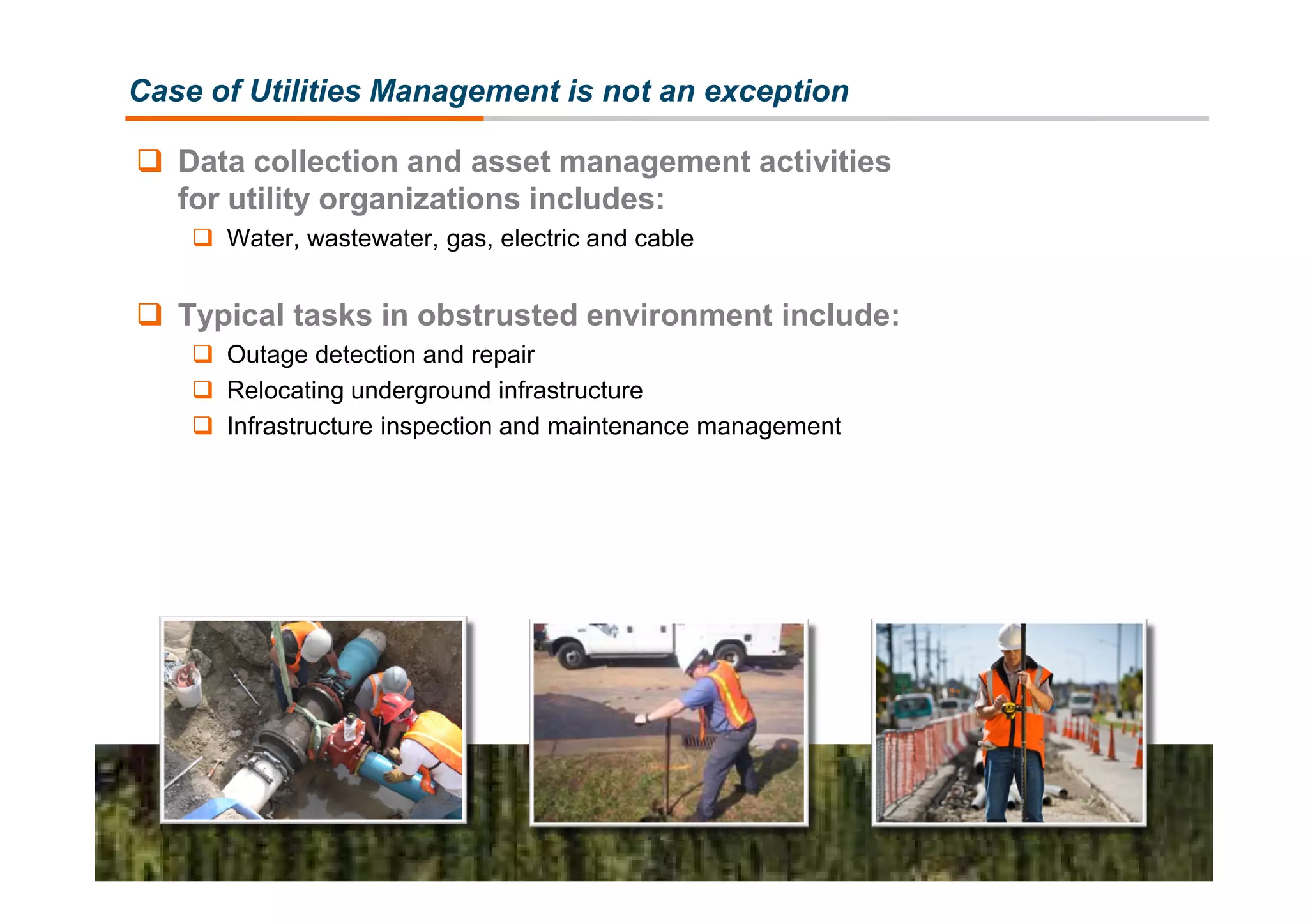
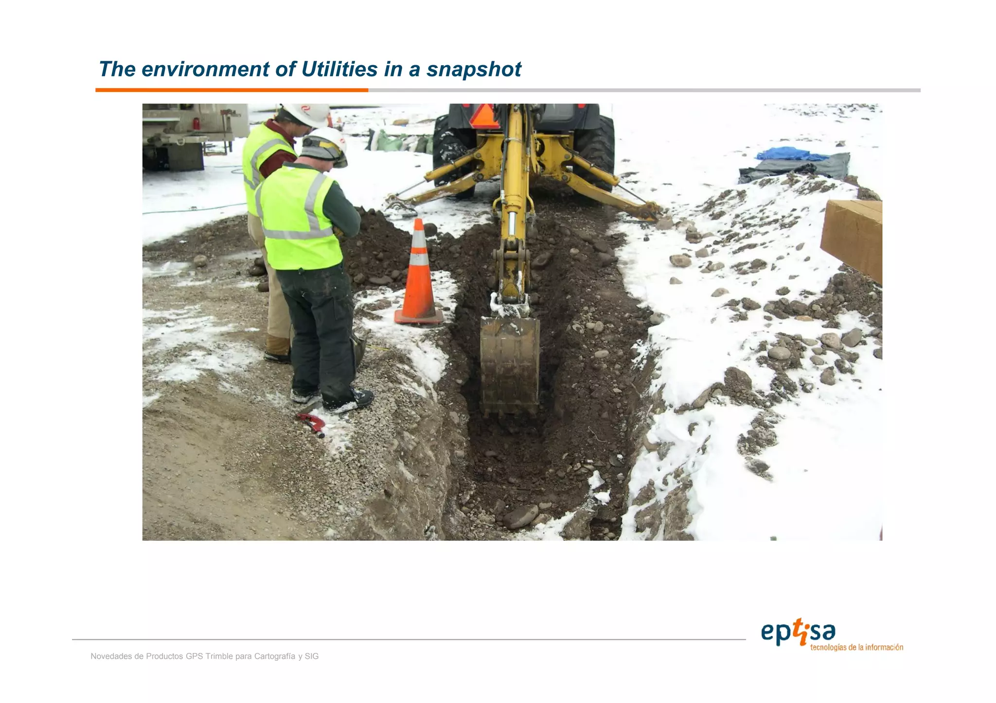

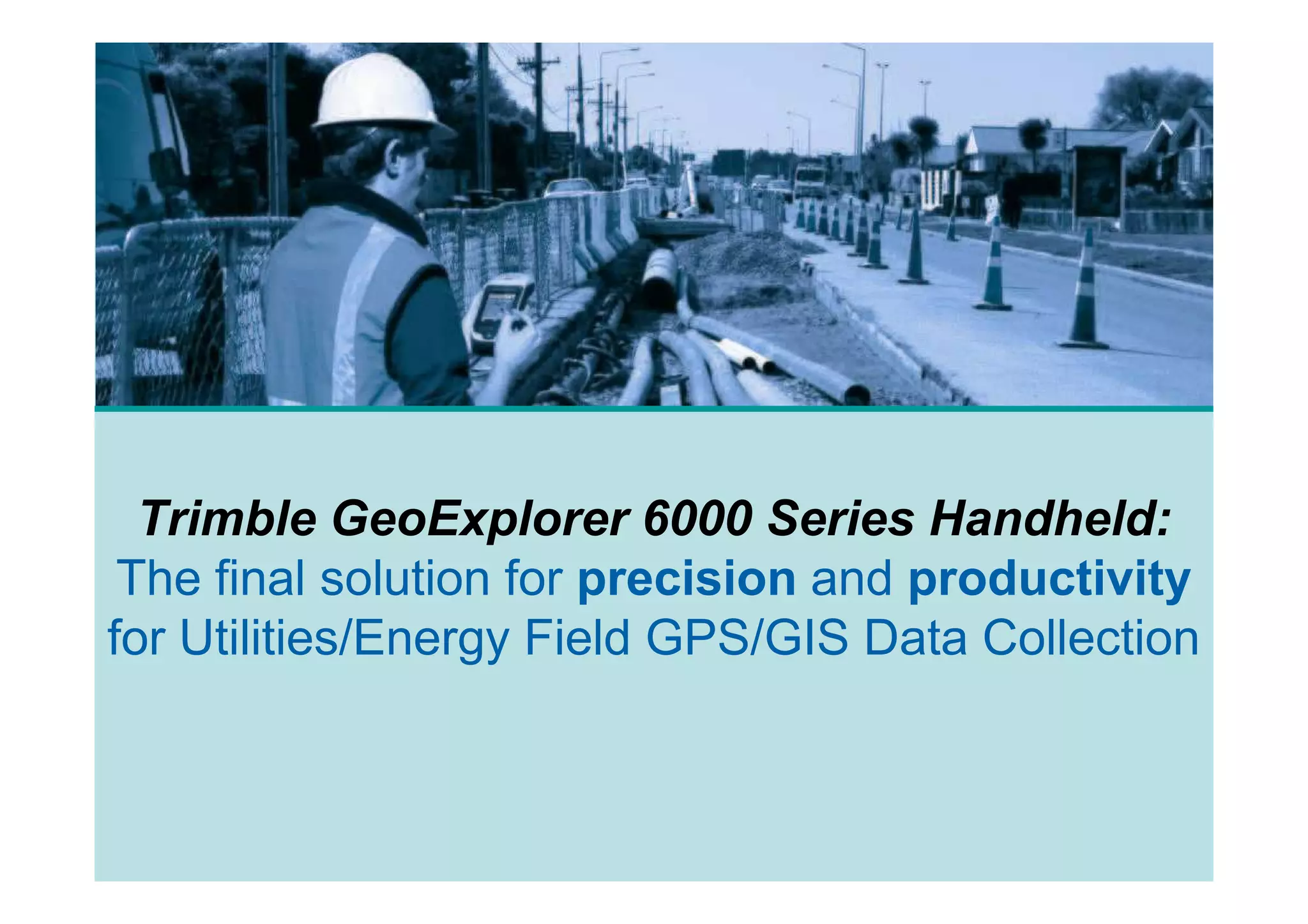
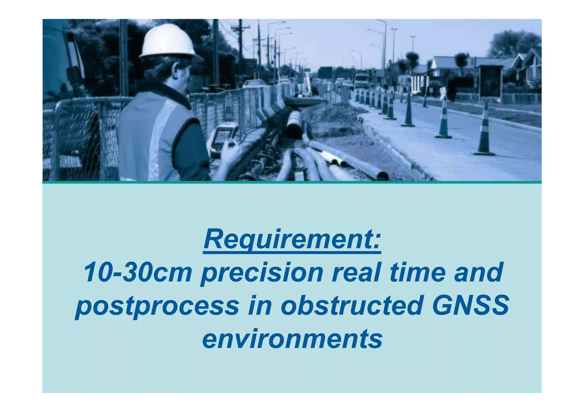
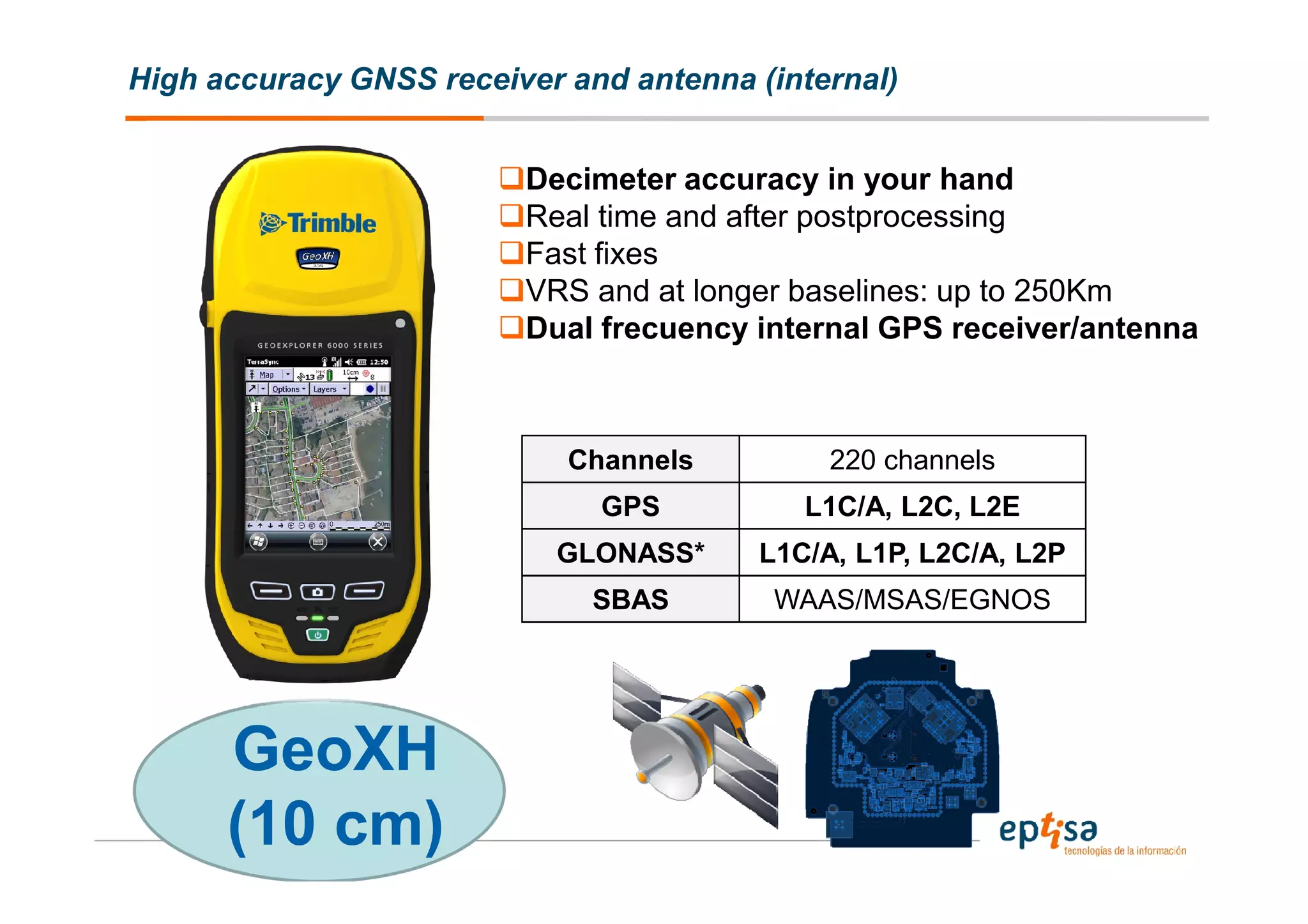
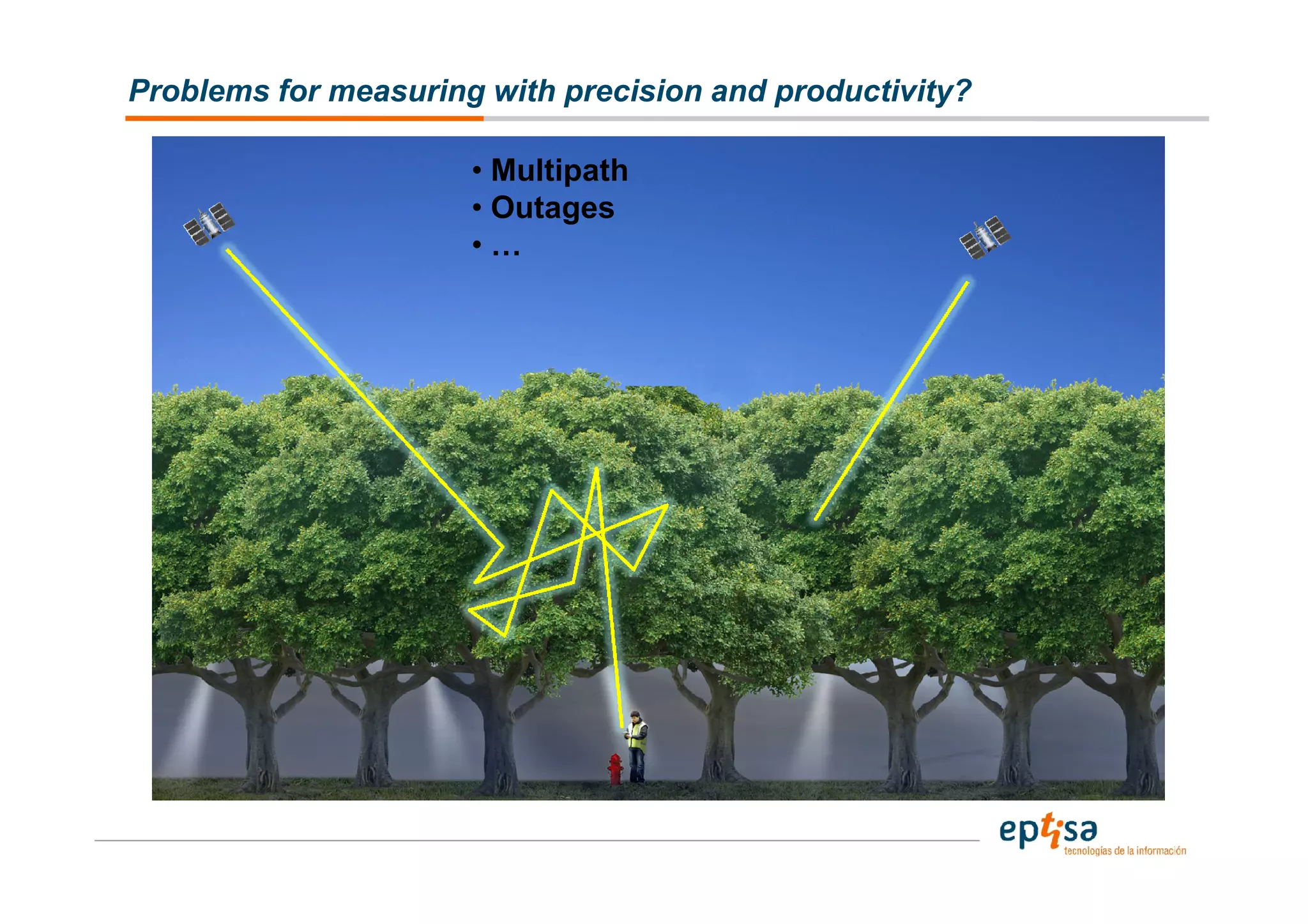
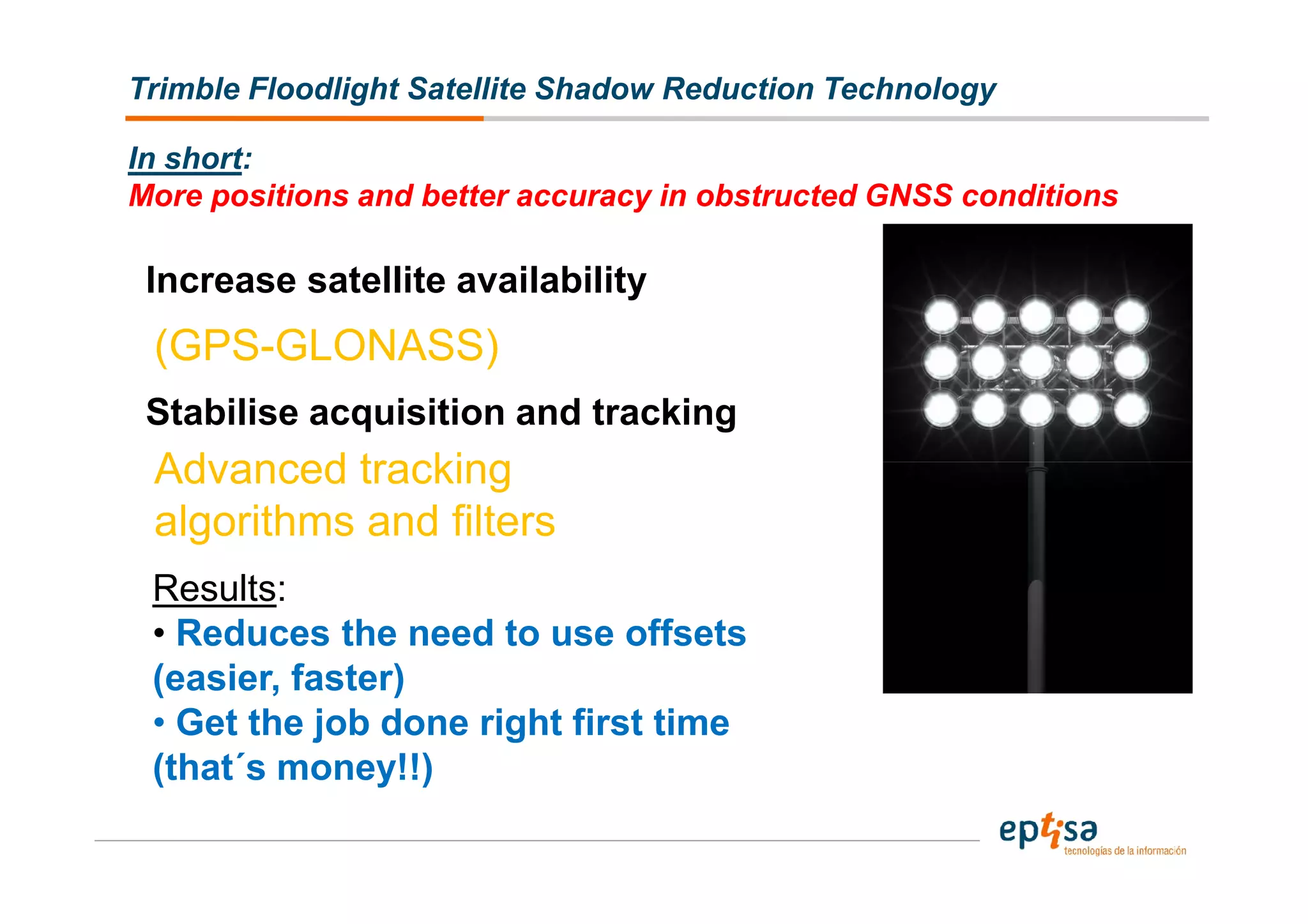
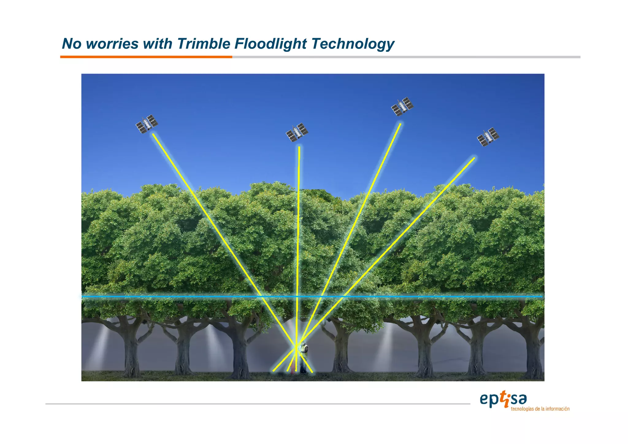
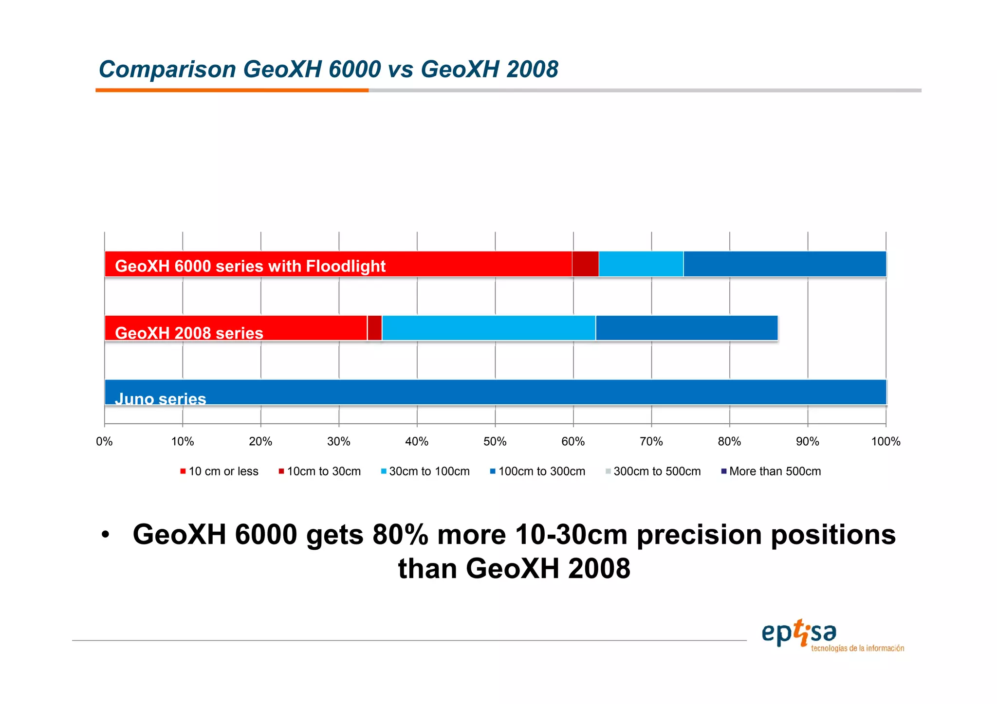
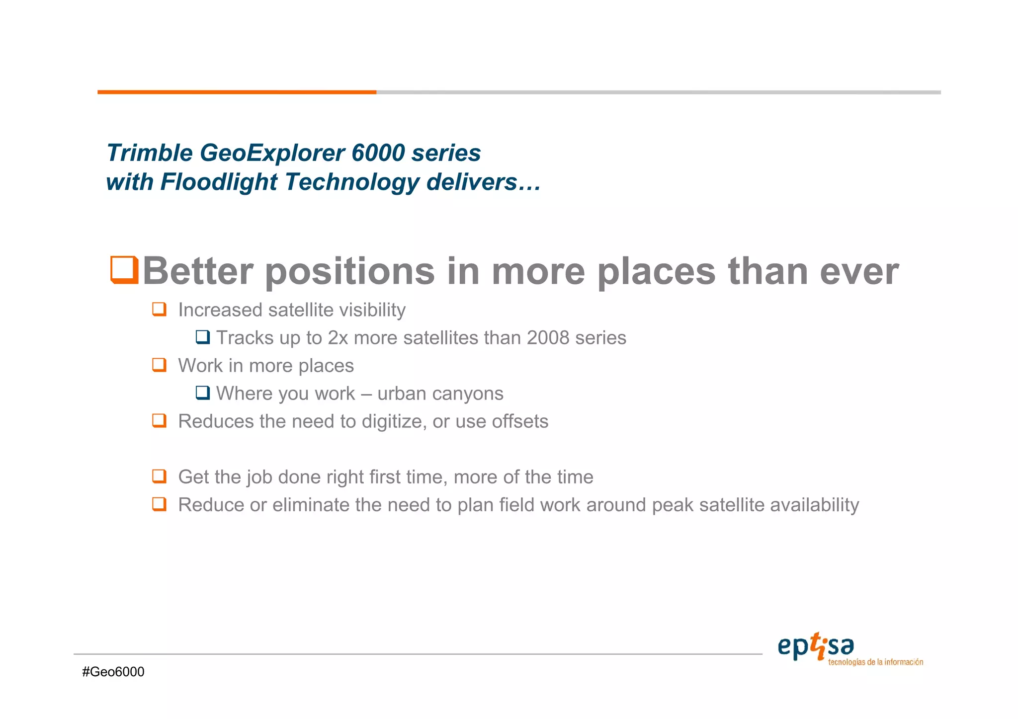
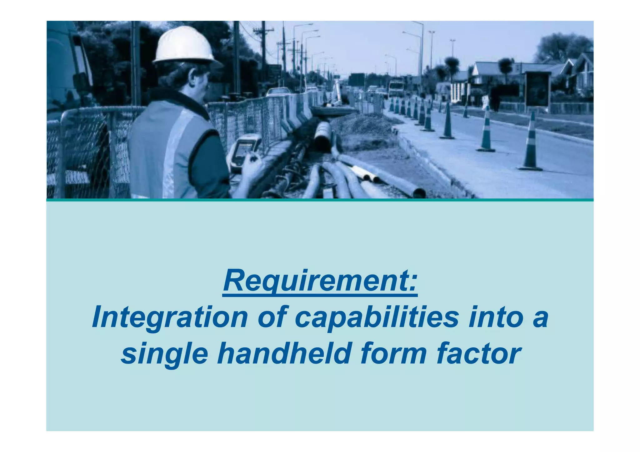
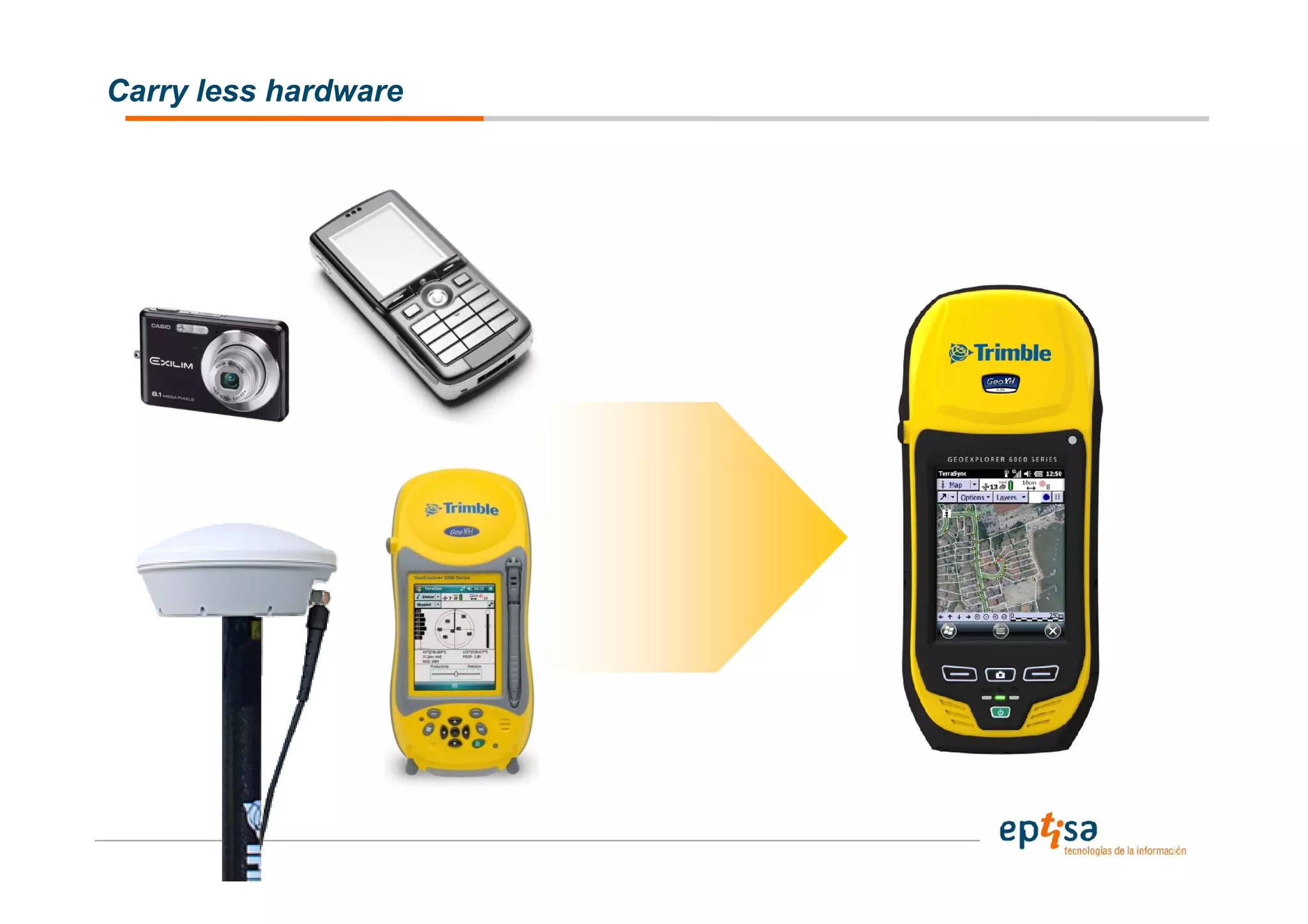
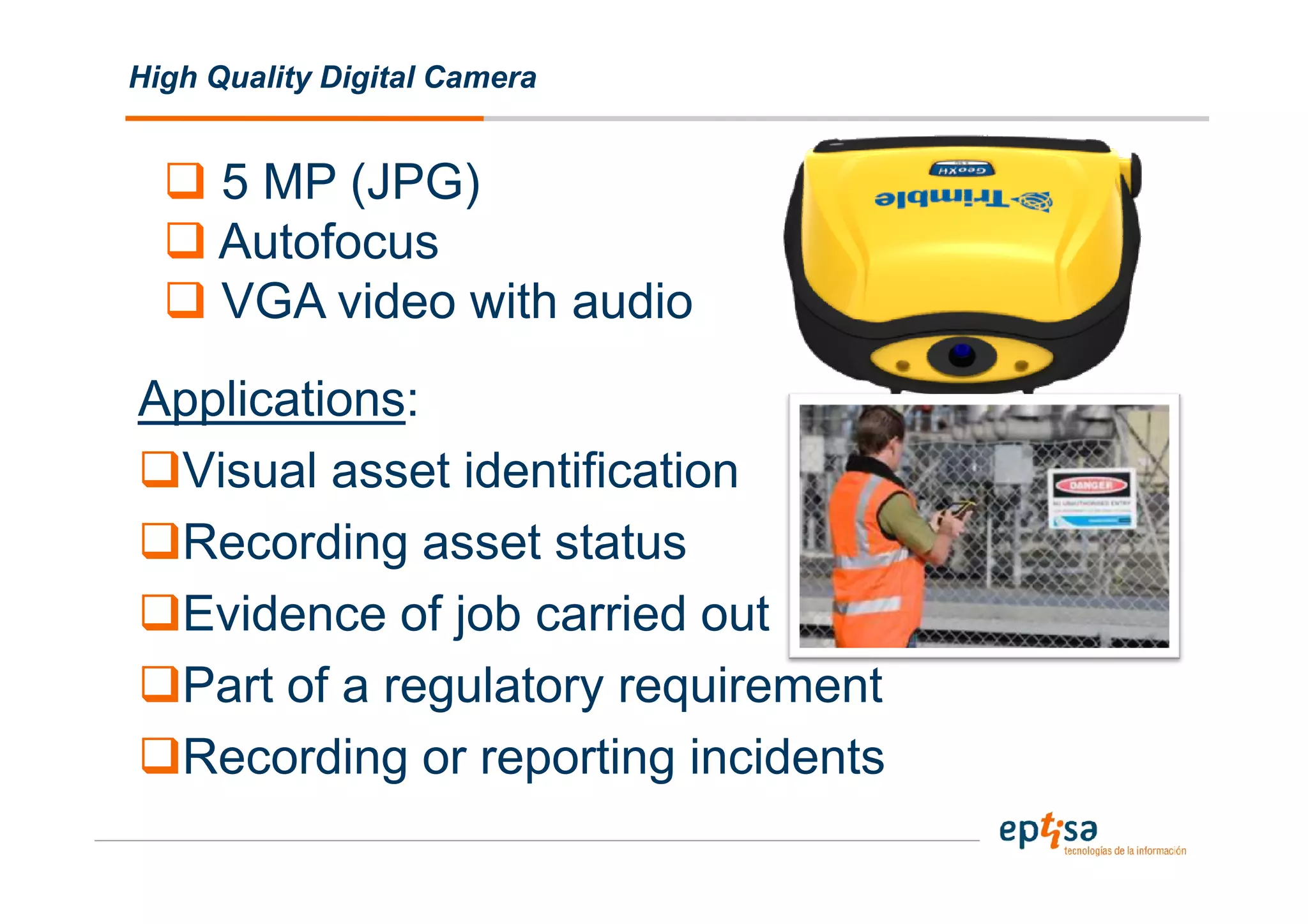
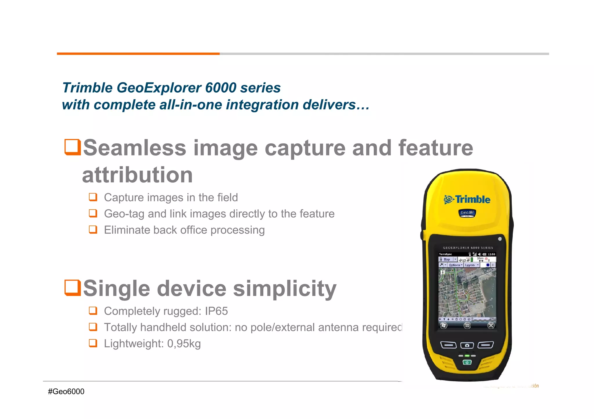
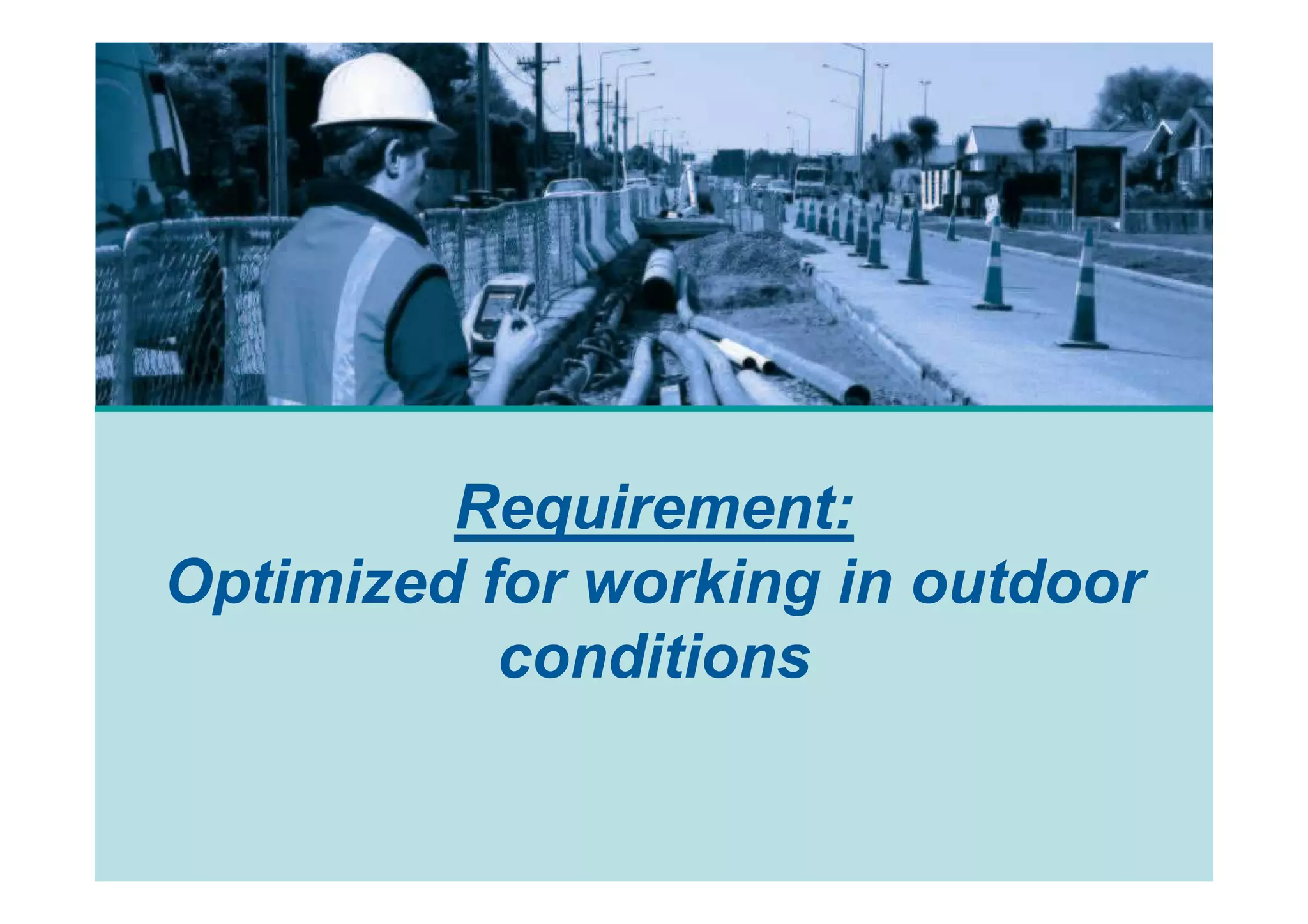
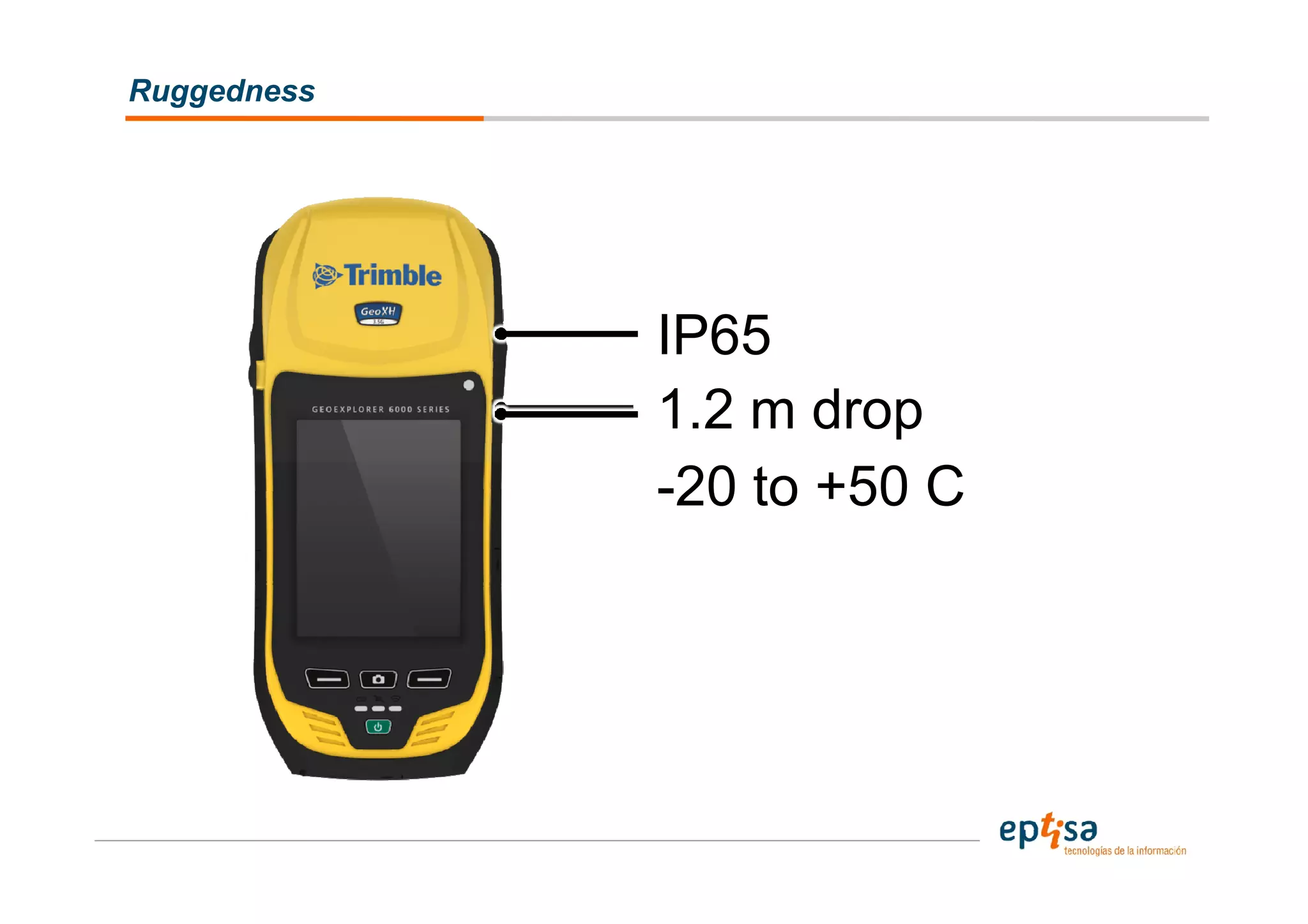
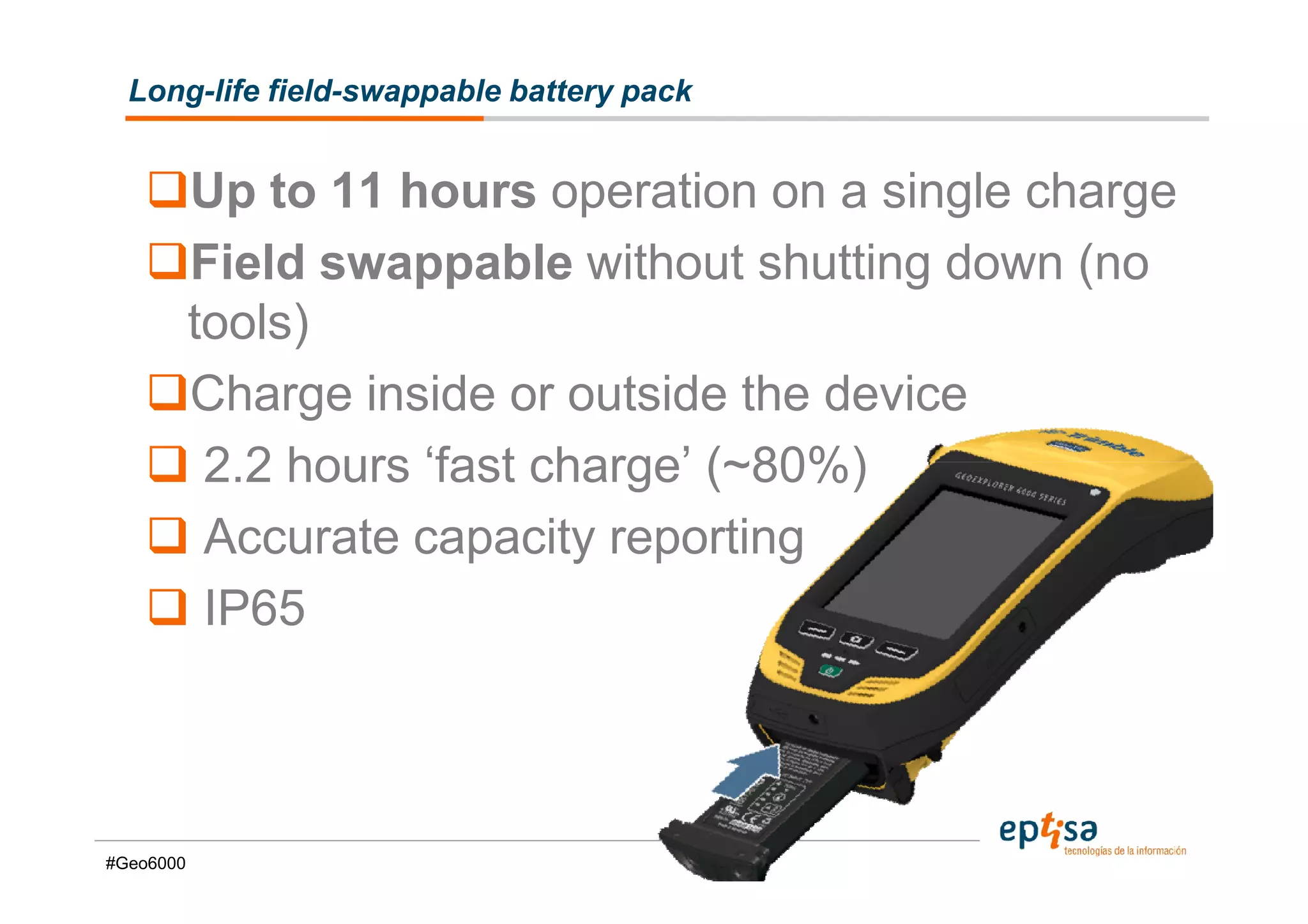
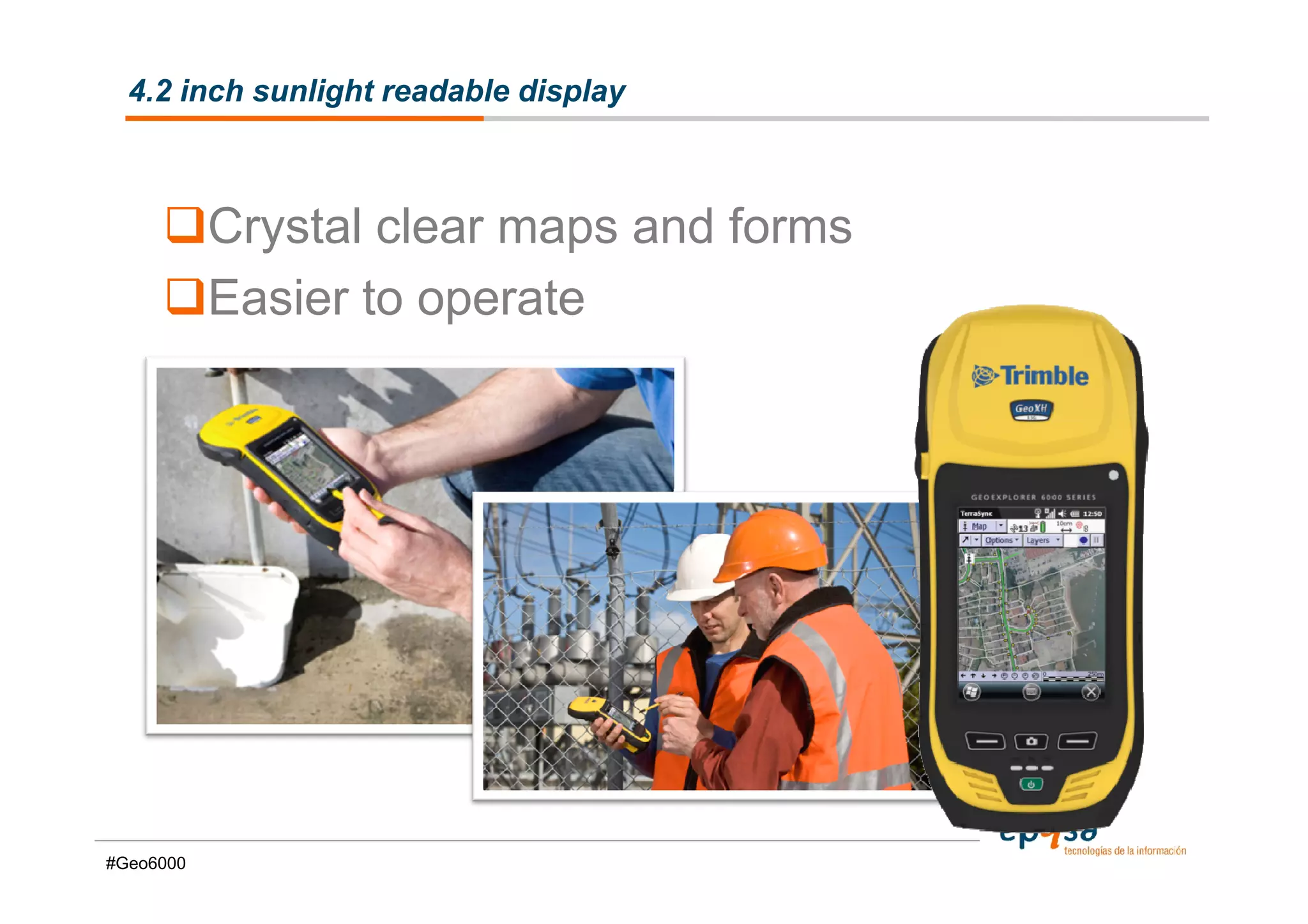

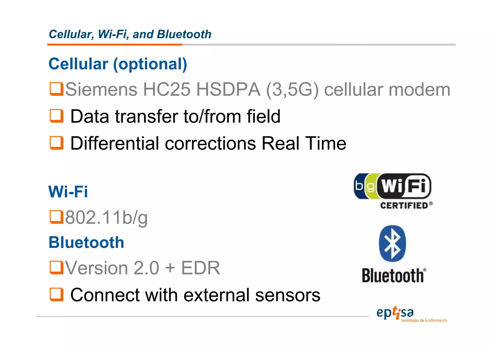
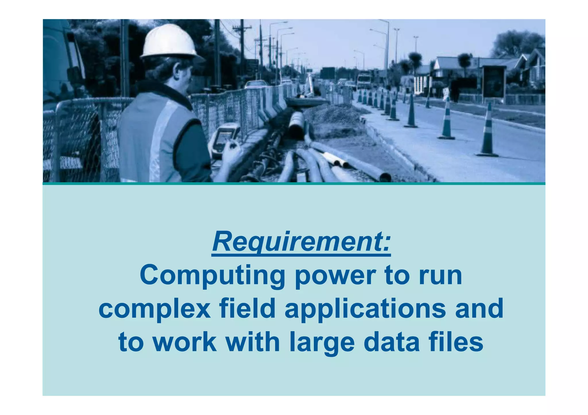
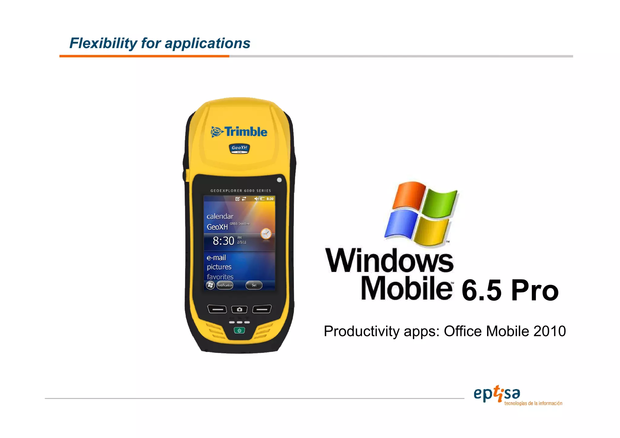
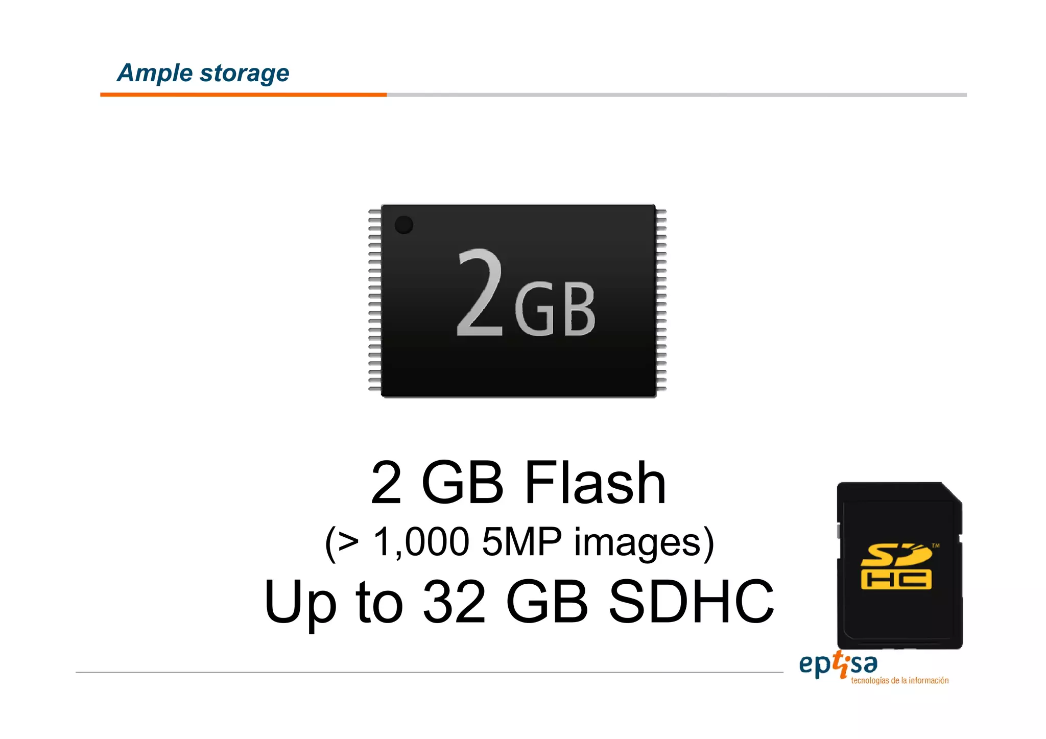
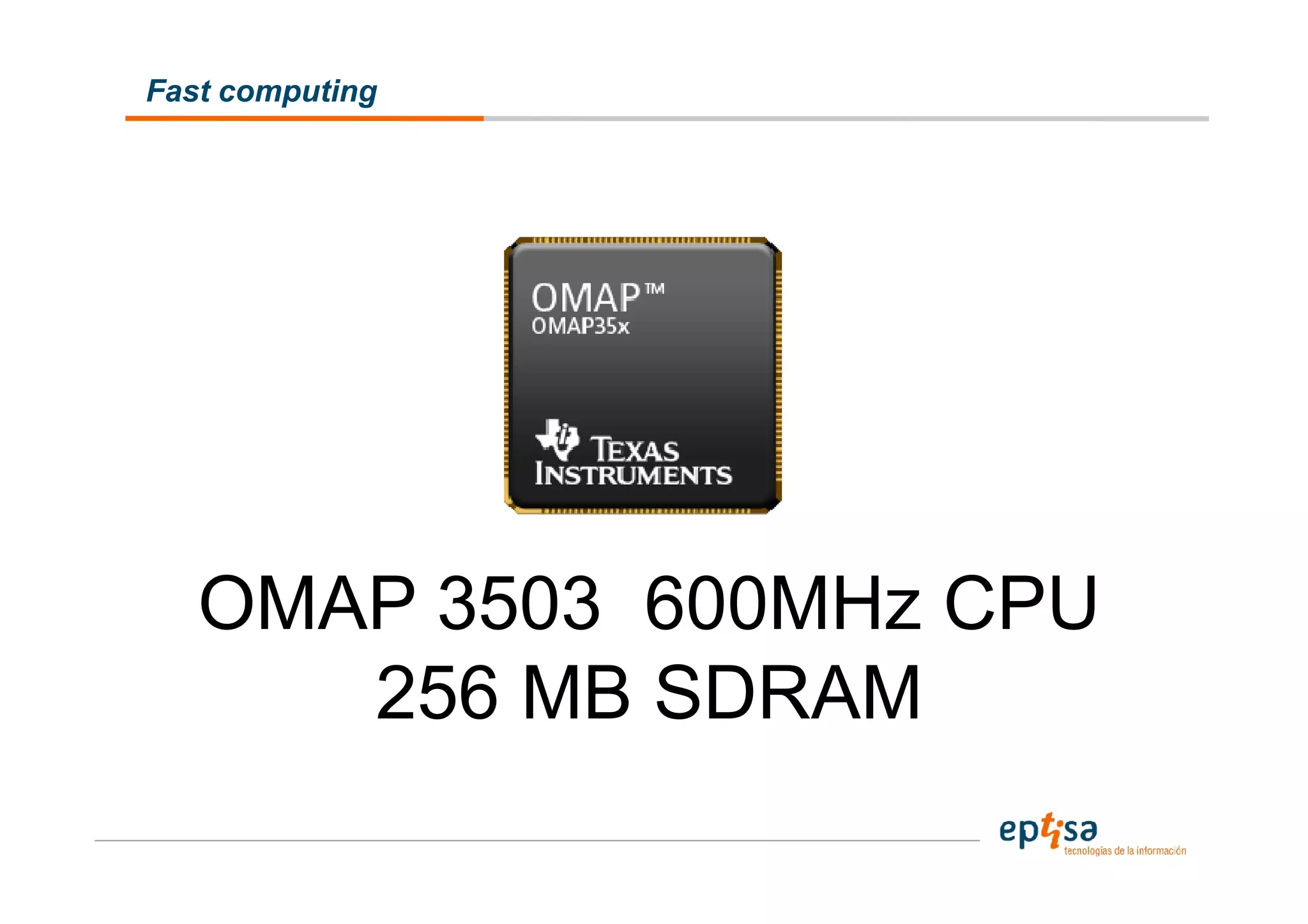
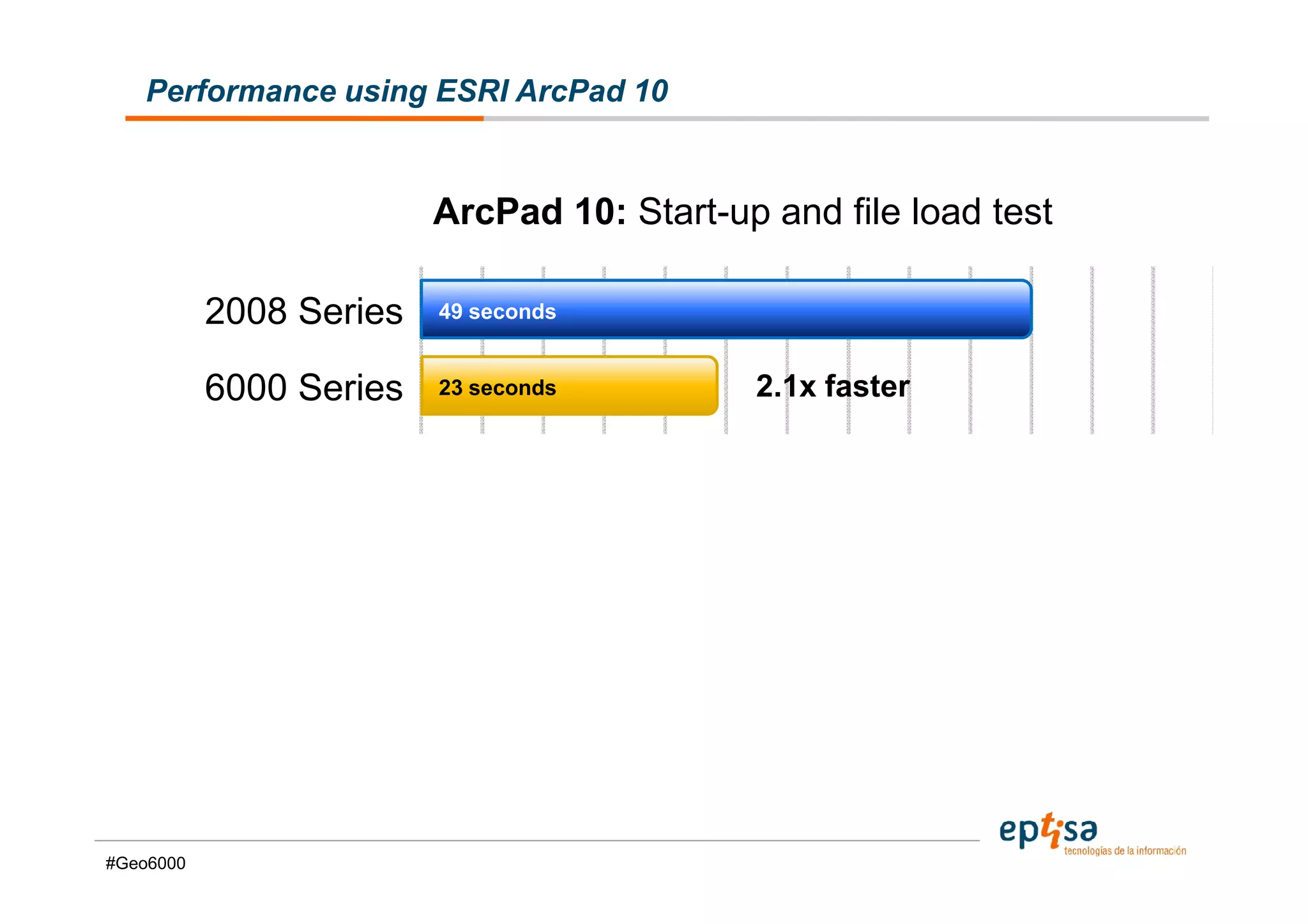
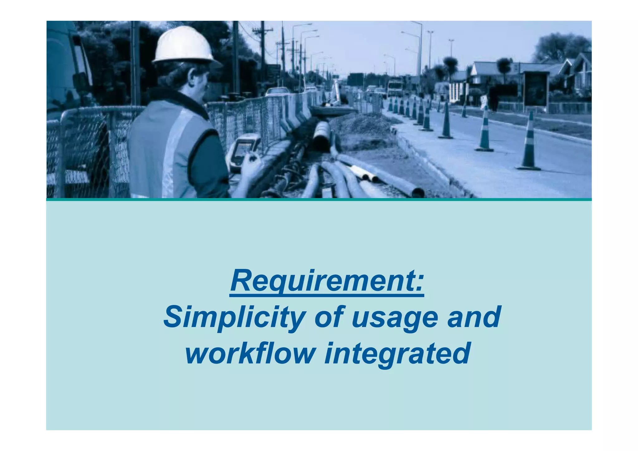
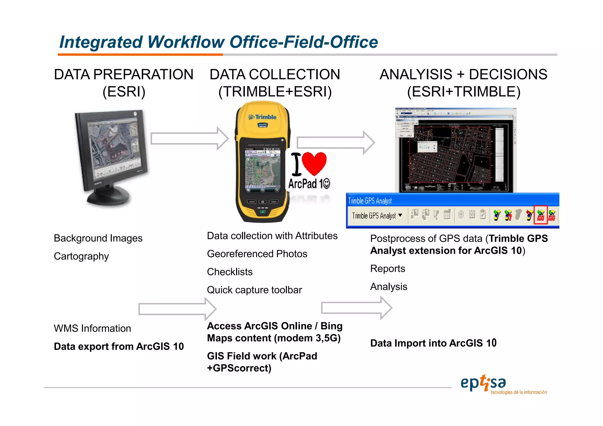
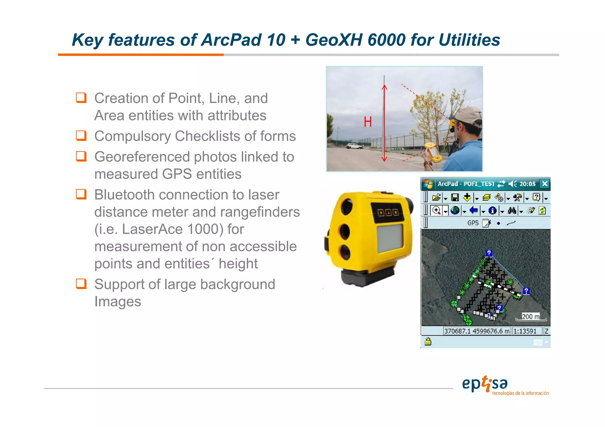
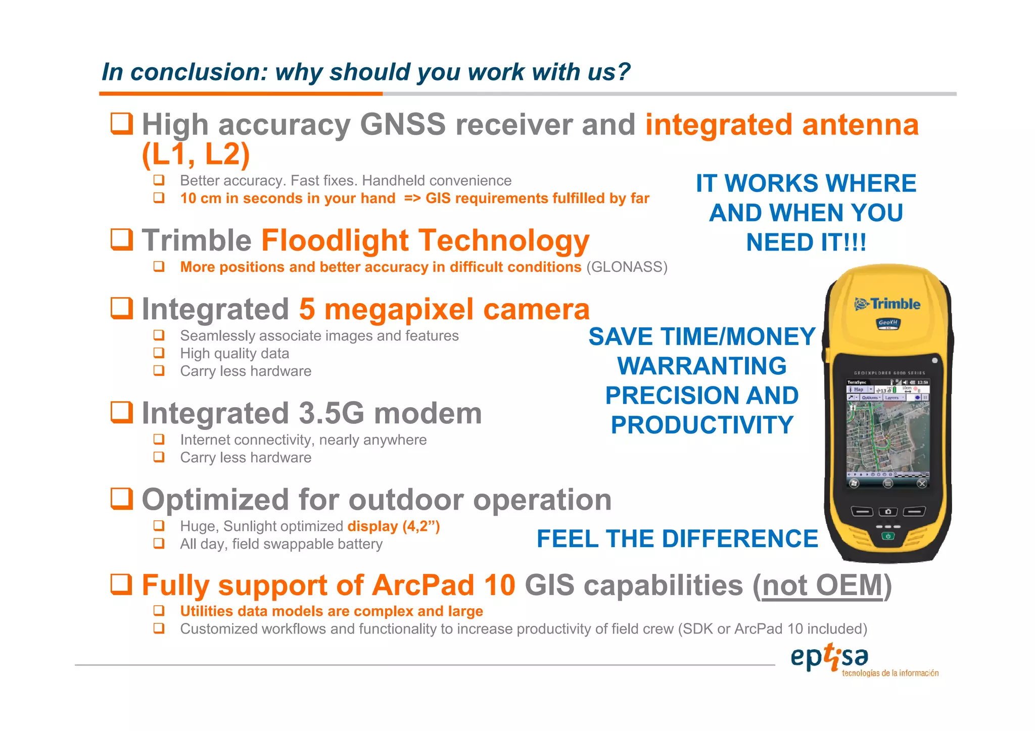


The document discusses GPS and GIS data collection solutions for utilities companies. It introduces the Trimble GeoExplorer 6000 series handheld which provides precise GPS positioning even in obstructed environments through features like Floodlight technology. The handheld is optimized for outdoor use with a rugged design, long battery life and sunlight readable display. It allows efficient data collection through integrated connectivity, computing power to run ArcPad 10, and a digital camera to link photos to mapped features. The solution aims to improve productivity by enabling accurate data capture in challenging conditions with minimal effort.


![Coded Agents – with UiPath SDK + LangGraph [Virtual Hands-on Workshop]](https://cdn.slidesharecdn.com/ss_thumbnails/codedagentsdeck-251215155422-5497c599-thumbnail.jpg?width=640&height=640&fit=bounds)


![Vibe Coding vs. Spec-Driven Development [Free Meetup]](https://cdn.slidesharecdn.com/ss_thumbnails/vibecodingvsspecdrivendevelopment-251209105622-43f455e7-thumbnail.jpg?width=640&height=640&fit=bounds)


